Old Maps of Jackson Township, Iowa for Metal Detecting
Plan your next treasure hunt with 28 historic maps of Jackson Township. Find old homesites, ghost towns, trails, and gathering spots that may be lost to time — perfect for identifying promising metal detecting locations.
- Locate forgotten sites: Uncover places like long-lost settlements, abandoned rail lines, or gathering spots.
- Plan better hunts: Use map overlays combined with LiDAR or satellite views to narrow in on historically rich areas.
- Made for detectorists: Thousands of hobbyists use these maps to discover relics, coins, and hidden history.
Use these historic maps to boost your research and find new opportunities beneath the surface of Jackson Township.
Jackson Township, IA maps
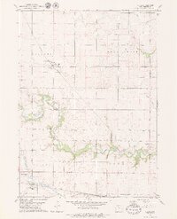
(28)- 1954 Map of Fort Dodge, 1968 Print
 1954 Fort Dodge1968 Print · USGSNorthwest Iowa is shown here during a period of steady industrial and rail activity in the mid-fifties. Researchers can trace the extensive rail lines connecting Fort Dodge to mining and manufacturing sites like Gypsum and Industry Station.3 unique versions available
 - 1957 Map of Fort Dodge
 1957 Fort Dodge1957 Print · USGSWest-central Iowa thrived as a network of rail-linked agricultural hubs and river towns during the mid-fifties. Researchers can trace the development of the Des Moines River valley and locate historic landmarks in Fort Dodge, Storm Lake, and Lehigh.
 - 1958 Map of Fort Dodge
 1958 Fort Dodge1958 Print · USGSWestern Iowa in the mid-1950s reveals a productive landscape of river-valley industry and prairie agricultural hubs. Researchers can trace the development of the Des Moines River corridor through Fort Dodge and locate vanished local landmarks near Coalville or Storm Lake.
 - 1979 Map of Clare
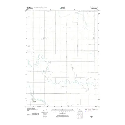
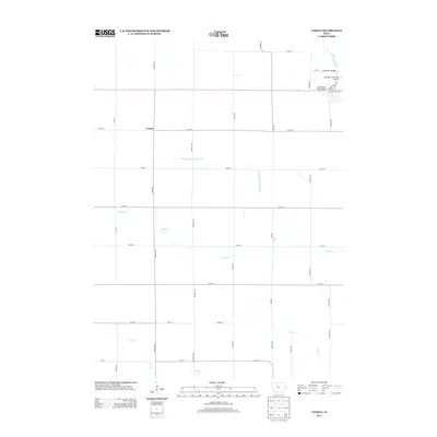
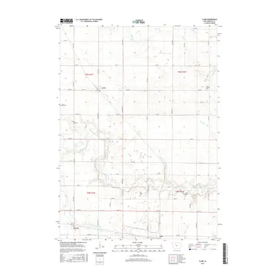
 1979 Clare1979 Print · USGSMid-century Iowa agriculture and rail networks converge here during the late seventies, centered on the settlements of Clare and Barnum. Researchers can locate several family burial sites like Trinity Cem or trace the Illinois Central Gulf rail line.2 unique versions available
 - 1979 Map of Gilmore City SW
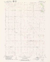
 1979 Gilmore City SW1979 Print · USGSThe rural intersection of Pocahontas, Webster, and Calhoun Counties is captured here in the late seventies. Genealogists and local historians can trace family roots at Lizard Cem and St Josephs Cem, or follow the Illinois Central Gulf rail line.
 - 1979 Map of Unique
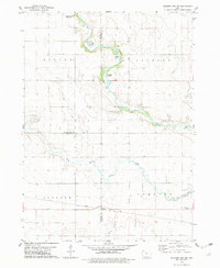
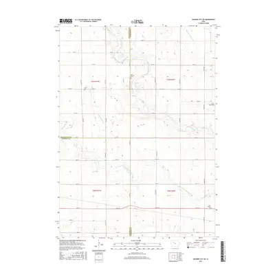
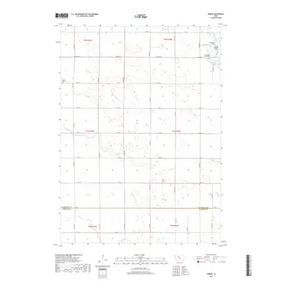
 1979 Unique1979 Print · USGSHumboldt and Webster counties come into focus during the late 1970s, showing a rural Iowa landscape shaped by the Des Moines River. Genealogists and local historians can trace the settlement at Unique, locate Township Cem, and explore the grounds of Joe Sheldon County Park.
 - 1979 Map of Gilmore City
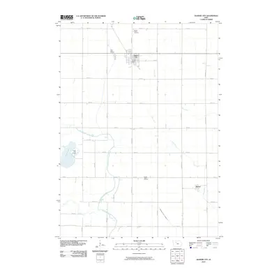
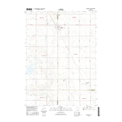
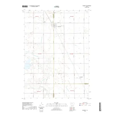
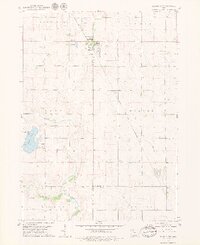 1979 Gilmore City1979 Print · USGSGilmore City sits at the intersection of Pocahontas and Humboldt counties during the late seventies, a hub for rail and local quarrying. Trace the diagonal path of the Chicago and North Western railroad to Pioneer or find family history at St Johns Cem and Marble Valley Cem.2 unique versions available
 - 1984 Map of Humboldt, 1985 Print
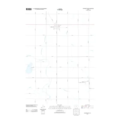
 1984 Humboldt1985 Print · USGSNorth Central Iowa in the mid-eighties shows a deeply integrated landscape of agricultural drainage and rail-connected settlements. Trace the rural layout of the era via the Chicago and North Western line, Rush Lake, and Lizard Lake County Park.2 unique versions available
 - 2010 Map of Gilmore City SW, 2010 Print
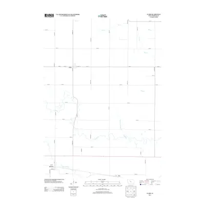
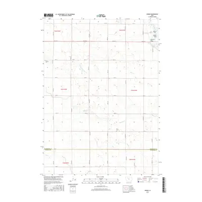
 2010 Gilmore City SW2010 Print · USGSCovers Jackson Township, including Johnson Township, Webster County, and other nearby areas
 - 2010 Map of Unique, 2010 Print
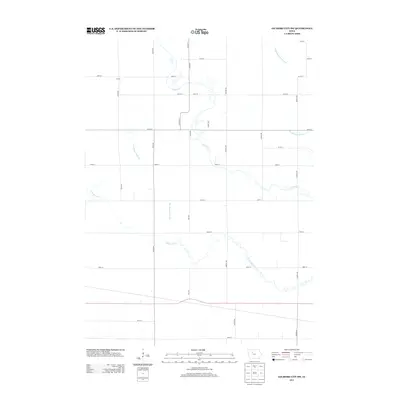
 2010 Unique2010 Print · USGSCovers Jackson Township, including Unique, Deer Creek Township, and other nearby areas
 - 2010 Map of Gilmore City, 2010 Print
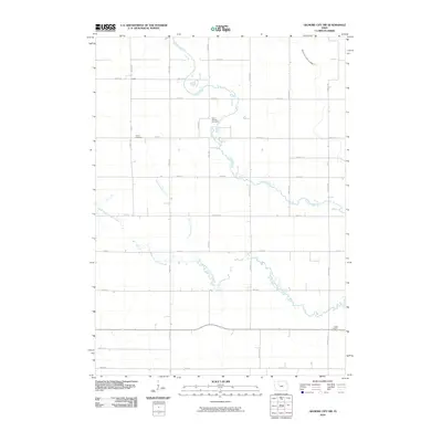
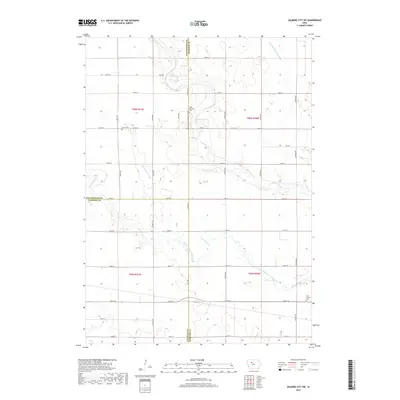
 2010 Gilmore City2010 Print · USGSCovers Jackson Township, including Gilmore City, Pioneer, and other nearby areas
 - 2010 Map of Clare, 2010 Print
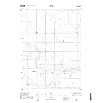
 2010 Clare2010 Print · USGSCovers Jackson Township, including Barnum, Clare, and other nearby areas
 - 2013 Map of Clare, 2013 Print
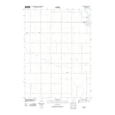
 2013 Clare2013 Print · USGSCovers Jackson Township, including Barnum, Clare, and other nearby areas
 - 2013 Map of Gilmore City, 2013 Print
 2013 Gilmore City2013 Print · USGSCovers Jackson Township, including Gilmore City, Pioneer, and other nearby areas
 - 2013 Map of Gilmore City SW, 2013 Print
 2013 Gilmore City SW2013 Print · USGSCovers Jackson Township, including Johnson Township, Webster County, and other nearby areas
 - 2013 Map of Unique, 2013 Print
 2013 Unique2013 Print · USGSCovers Jackson Township, including Unique, Deer Creek Township, and other nearby areas
 - 2015 Map of Unique, 2015 Print
 2015 Unique2015 Print · USGSCovers Jackson Township, including Unique, Deer Creek Township, and other nearby areas
 - 2015 Map of Clare, 2015 Print
 2015 Clare2015 Print · USGSCovers Jackson Township, including Barnum, Clare, and other nearby areas
 - 2015 Map of Gilmore City SW, 2015 Print
 2015 Gilmore City SW2015 Print · USGSCovers Jackson Township, including Johnson Township, Webster County, and other nearby areas
 - 2015 Map of Gilmore City, 2015 Print
 2015 Gilmore City2015 Print · USGSCovers Jackson Township, including Gilmore City, Pioneer, and other nearby areas
 - 2018 Map of Gilmore City SW, 2018 Print
 2018 Gilmore City SW2018 Print · USGSCovers Jackson Township, including Johnson Township, Webster County, and other nearby areas
 - 2018 Map of Gilmore City, 2018 Print
 2018 Gilmore City2018 Print · USGSCovers Jackson Township, including Gilmore City, Pioneer, and other nearby areas
 - 2018 Map of Clare, 2018 Print
 2018 Clare2018 Print · USGSCovers Jackson Township, including Barnum, Clare, and other nearby areas
 - 2018 Map of Unique, 2018 Print
 2018 Unique2018 Print · USGSCovers Jackson Township, including Unique, Deer Creek Township, and other nearby areas
 - 2022 Map of Gilmore City SW, 2022 Print
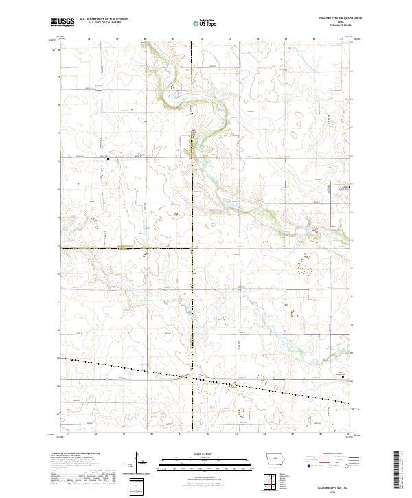 2022 Gilmore City SW2022 Print · USGSNorthwest Iowa farm country is mapped in detail during the early 2020s at the junction of three counties. Genealogists can locate family burial sites at Saint Josephs Cem, Jackson Center Cem, and Lizard Cem along the creek.
Showing maps 1-25 of 28
Top cities near Jackson Township
- Fort Dodge historical maps
- Humboldt historical maps
- Rockwell City historical maps
- Manson historical maps
- Dakota City historical maps
- Rolfe historical maps
See more
Top neighborhoods of Jackson Township
Frequently asked questions
- What are the different types of historical maps available for Jackson Township?
- What is the oldest map of Jackson Township?
- Where can I purchase historical maps of Jackson Township for my home or office?
- Where can I download high-res historical maps of Jackson Township?
- Are there historical topographic maps available for Jackson Township?
- Is there historical aerial imagery available for Jackson Township?
- Where are historical maps of Jackson Township sourced from?