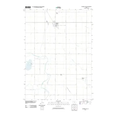
2010 Map of Gilmore City
USGS Topo · Published 2010About this map
Gilmore City occupies the northern border of this central Iowa landscape, where the local street grid centers on the Gilmore City Post Office. The surrounding terrain is defined by a highly organized section-line road network, reflecting the region's agricultural heritage. Small clusters of local history are found at Saint Johns Cemetery and two distinct locations for Marble Valley Cemetery, marking the resting places of early prairie settlers.
Find a feature on this map
42 named features on this map. Tap any name to fly to it.
Don’t see what you’re looking for? This feature index may not catch every label — zoom into the map to look around manually.
Map Details
Editions of this 2010 Gilmore City Map
This is the sole edition of this map. No revisions or reprints were ever made.
Other maps of this area

1954 · Fort Dodge
USGS Topo · 1:250,000

1957 · Fort Dodge
USGS Topo · 1:250,000

1958 · Fort Dodge
USGS Topo · 1:250,000

1979 · Clare
USGS Topo · 1:24,000

1979 · Gilmore City SW
USGS Topo · 1:24,000

1979 · Manson
USGS Topo · 1:24,000

1979 · Unique
USGS Topo · 1:24,000

1979 · Gilmore City
USGS Topo · 1:24,000

1979 · Palmer
USGS Topo · 1:24,000

1980 · Rolfe
USGS Topo · 1:24,000