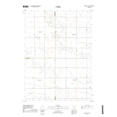
2018 Map of Gilmore City SW
USGS Topo · Published 2018About this map
The agricultural landscape of the Iowa prairie is defined by a rigorous section-line grid and a network of engineered waterways including Drainage Ditch 125 and Drainage Ditch Number 3. This 2018 survey documents the corner where Pocahontas, Webster, and Calhoun Counties meet, a region characterized by high-productivity farmland and small, dispersed community markers. Significant for local historians, several rural burial grounds serve as the primary landmarks in this expanse, such as Lizard Cem and Saint Patricks Cem in the north, and Saint Josephs Cem in the southeast corner. The natural hydrography persists through the meandering paths of Lizard Creek and the South Branch Lizard Creek, which cut across the geometric road network established by Co Hwy P19 and Co Rd C66.
Find a feature on this map
41 named features on this map. Tap any name to fly to it.
Don’t see what you’re looking for? This feature index may not catch every label — zoom into the map to look around manually.
Map Details
Editions of this 2018 Gilmore City SW Map
This is the sole edition of this map. No revisions or reprints were ever made.
Other maps of this area

1954 · Fort Dodge
USGS Topo · 1:250,000

1957 · Fort Dodge
USGS Topo · 1:250,000

1958 · Fort Dodge
USGS Topo · 1:250,000

1965 · Moorland
USGS Topo · 1:24,000

1965 · Knierim
USGS Topo · 1:24,000

1979 · Clare
USGS Topo · 1:24,000

1979 · Gilmore City SW
USGS Topo · 1:24,000

1979 · Manson
USGS Topo · 1:24,000

1979 · Unique
USGS Topo · 1:24,000

1979 · Gilmore City
USGS Topo · 1:24,000