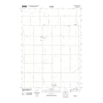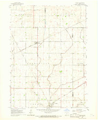
1965 Map of Knierim
USGS Topo · Published 1966About this map
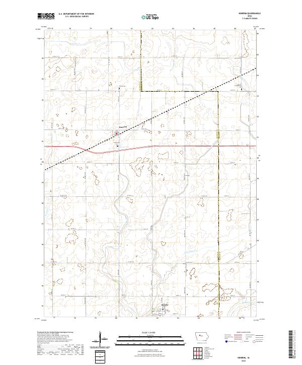
The town of Knierim sits at the heart of this mid-century agricultural landscape, defined by a dense intersection of major Midwestern railroads. In the mid-1960s, the area remained a critical rail junction where the Illinois Central, Chicago Great Western, and the Chicago and North Western lines converge near the village and the neighboring community of Somers. This transportation network supported the surrounding townships of Greenfield, Fulton, and Lincoln, which are subdivided by a meticulous grid of rural roads and drainage features like Welshs Slough. Local landmarks including Trinity Ch and the Township Cem provide specific points of interest for genealogical research. The presence of a Gravel Pit and numerous small bridges over East Cedar Creek and Hardin Creek reflect the local infrastructure required to maintain this productive Iowa prairie land during a period of peak rural connectivity.
Find a feature on this map
20 named features on this map. Tap any name to fly to it.
Don’t see what you’re looking for? This feature index may not catch every label — zoom into the map to look around manually.
Map Details
Editions of this 1965 Knierim Map
This is the sole edition of this map. No revisions or reprints were ever made.
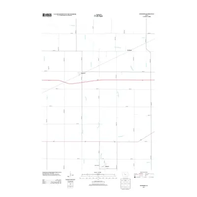
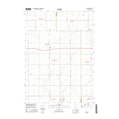
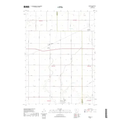
Historical Maps of Somers Through Time
6 maps found