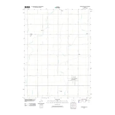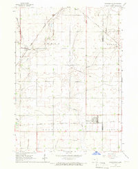
1965 Map of Farnhamville
USGS Topo · Published 1966About this map
The agricultural landscape of Calhoun County in the mid-1960s is defined by a rigorous grid of section lines and an extensive network of drainage improvements. Farnhamville serves as a primary hub in the south, while the small settlements of Somers, Rinard, and Slifer dot the surrounding prairie. The region's transport history is visible in the various rail corridors, including the active Chicago Rock Island and Pacific and the already defunct Old Railroad Grade and Chicago Great Western Railroad Grade. Local life and history are anchored by landmarks such as Cedar Cem and Reading Cem, as well as the private Gustafson Landing Field. Water management is prominent throughout the terrain, with Hardin Creek and West Cedar Creek augmented by engineered features like Ditch No 12.
Find a feature on this map
23 named features on this map. Tap any name to fly to it.
Don’t see what you’re looking for? This feature index may not catch every label — zoom into the map to look around manually.
Map Details
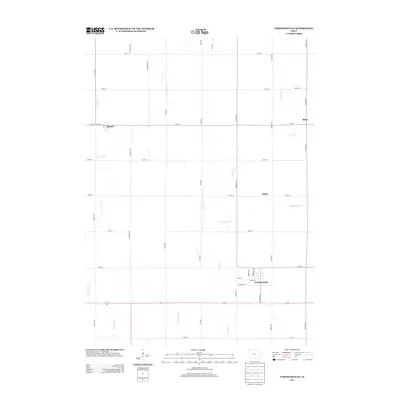
Editions of this 1965 Farnhamville Map
This is the sole edition of this map. No revisions or reprints were ever made.
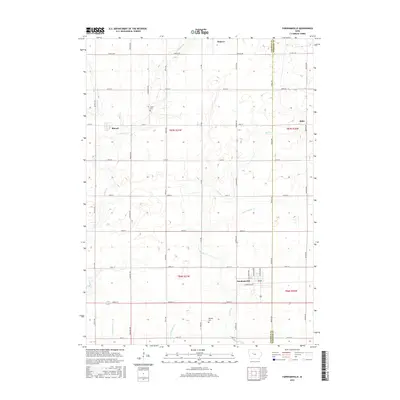
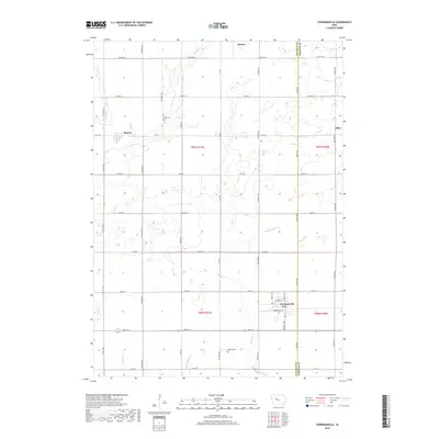
Historical Maps of Farnhamville Through Time
6 maps found