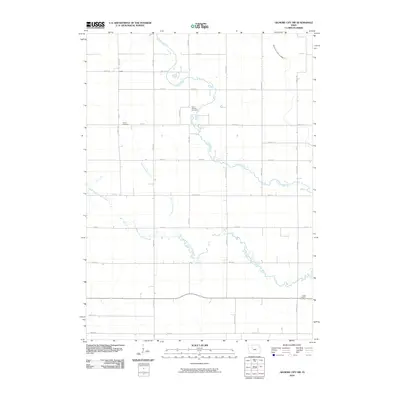
2010 Map of Gilmore City SW
USGS Topo · Published 2010About this map
Lizard and the surrounding Jackson Township countryside are defined by a network of drainage infrastructure and the winding paths of Lizard Creek and its South Branch. The landscape reflects a deeply managed agricultural environment, where engineered waterways like Drainage Ditch 125 and Drainage Ditch Number 3 serve to reclaim the low-lying prairie for farming. For the local historian or genealogist, this map provides precise locations for three distinct burial grounds that anchor the rural community: Lizard Cemetery, Saint Patricks Cemetery, and Saint Josephs Cemetery. The rigid grid of section roads, including Baxter Ave and Dakota Ave, contrasts with the organic curves of the creeks, illustrating the intersection of pioneer-era settlement patterns and modern agricultural utility.
Find a feature on this map
30 named features on this map. Tap any name to fly to it.
Don’t see what you’re looking for? This feature index may not catch every label — zoom into the map to look around manually.
Map Details
Editions of this 2010 Gilmore City SW Map
This is the sole edition of this map. No revisions or reprints were ever made.
Other maps of this area

1954 · Fort Dodge
USGS Topo · 1:250,000

1957 · Fort Dodge
USGS Topo · 1:250,000

1958 · Fort Dodge
USGS Topo · 1:250,000

1965 · Moorland
USGS Topo · 1:24,000

1965 · Knierim
USGS Topo · 1:24,000

1979 · Clare
USGS Topo · 1:24,000

1979 · Gilmore City SW
USGS Topo · 1:24,000

1979 · Manson
USGS Topo · 1:24,000

1979 · Unique
USGS Topo · 1:24,000

1979 · Gilmore City
USGS Topo · 1:24,000