2000s (21st Century) Maps of Winneshiek County, Iowa
Explore 125 historic maps of Winneshiek County from the 2000s (21st Century). These maps offer a rare glimpse into what life looked like during the 2000s — showing old roads, neighborhoods, homes, and landmarks that have changed or disappeared over time.
Whether you're researching your family's past, planning a metal detecting trip, or studying how Winneshiek County's landscape evolved across the 2000s, these high-resolution maps are a powerful tool for exploring the history of this region.
- Focus on a specific era: All maps on this page are from the 2000s, giving you a focused view of this time period.
- See what’s changed: Compare century-old streets, trails, and buildings to today's modern landscape using overlays and satellite layers.
- Research with precision: Use these maps for genealogy, historical research, land use analysis, or educational projects.
- View, download, or print: Maps are fully viewable online in high resolution, and can be downloaded or printed for your own records.
Start exploring Winneshiek County's history through authentic maps from the 2000s. This is your window into the past.
Winneshiek County, IA maps
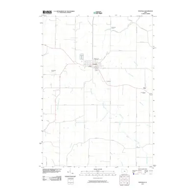
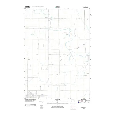
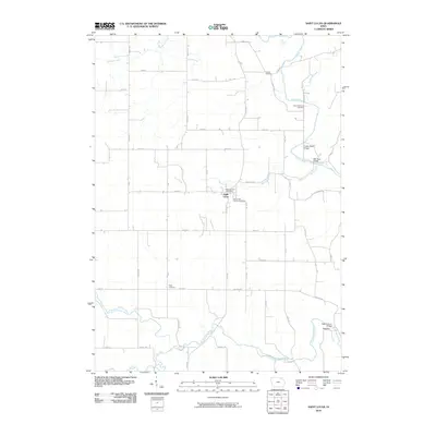
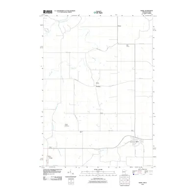
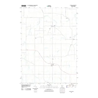
(125)- 2010 Map of Festina, 2010 Print
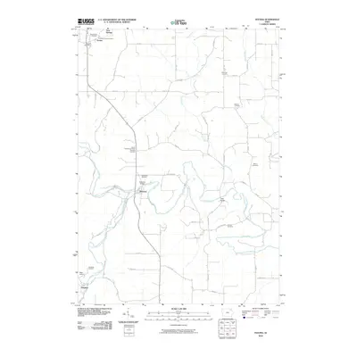 2010 Festina2010 Print · USGSCovers Winneshiek County, including Douglass, Festina, and other nearby areas
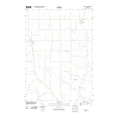
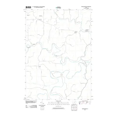
 - 2010 Map of Highlandville, 2010 Print
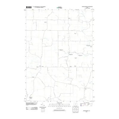 2010 Highlandville2010 Print · USGSCovers Winneshiek County, including Springwater, Sattre, and other nearby areas
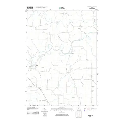
 - 2010 Map of Protivin, 2010 Print
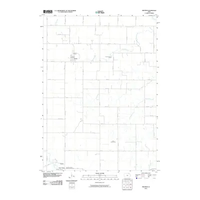 2010 Protivin2010 Print · USGSCovers Winneshiek County, including Protivin, Little Turkey, and other nearby areas
 - 2010 Map of Waucoma, 2010 Print
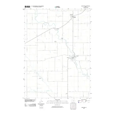 2010 Waucoma2010 Print · USGSCovers Winneshiek County, including Waucoma, Jackson Junction, and other nearby areas
 - 2010 Map of Bluffton, 2010 Print
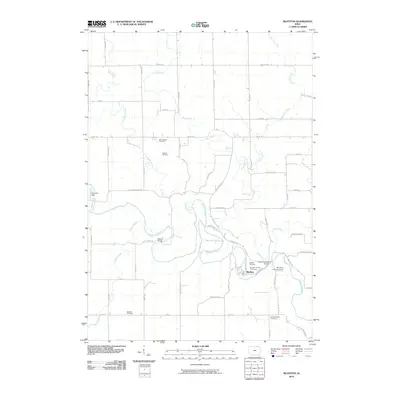 2010 Bluffton2010 Print · USGSCovers Winneshiek County, including Bluffton, United States, and other nearby areas
 - 2010 Map of Decorah, 2010 Print
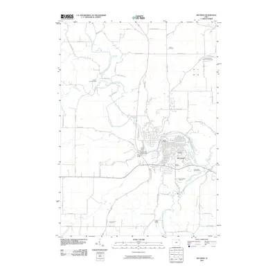 2010 Decorah2010 Print · USGSCovers Winneshiek County, including Decorah, United States, and other nearby areas
 - 2010 Map of Freeport, 2010 Print
 2010 Freeport2010 Print · USGSCovers Winneshiek County, including Decorah, Nasset, and other nearby areas
 - 2010 Map of Burr Oak, 2010 Print
 2010 Burr Oak2010 Print · USGSCovers Winneshiek County, including Burr Oak, Hesper, and other nearby areas
 - 2010 Map of Postville, 2010 Print
 2010 Postville2010 Print · USGSCovers Winneshiek County, including Postville, Ridley, and other nearby areas
 - 2010 Map of Fort Atkinson, 2010 Print
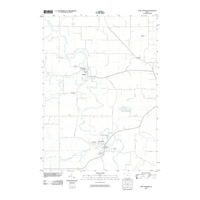 2010 Fort Atkinson2010 Print · USGSCovers Winneshiek County, including Calmar, Spillville, and other nearby areas
 - 2010 Map of Calmar, 2010 Print
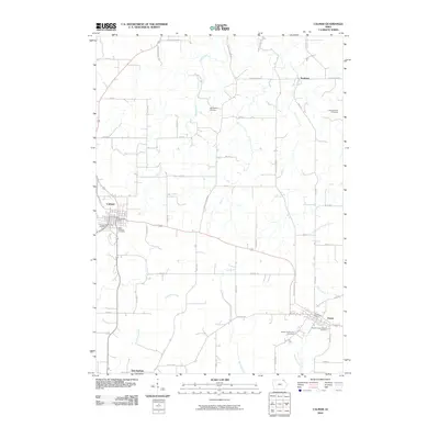 2010 Calmar2010 Print · USGSCovers Winneshiek County, including Calmar, Ossian, and other nearby areas
 - 2010 Map of Ridgeway, 2010 Print
 2010 Ridgeway2010 Print · USGSCovers Winneshiek County, including Ridgeway, United States, and other nearby areas
 - 2010 Map of Cresco NE, 2010 Print
 2010 Cresco NE2010 Print · USGSCovers Winneshiek County, including Cresco, Kendallville, and other nearby areas
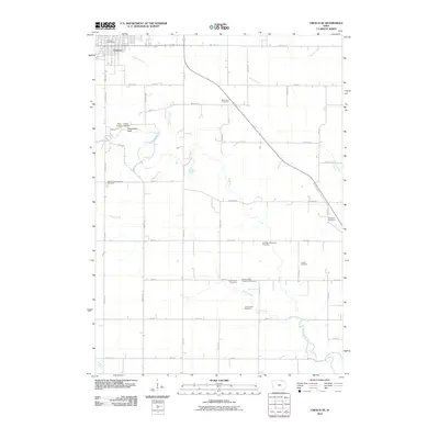
 - 2010 Map of Dorchester, 2010 Print
 2010 Dorchester2010 Print · USGSCovers Winneshiek County, including Quandahl, Dorchester, and other nearby areas
 - 2010 Map of Castalia, 2010 Print
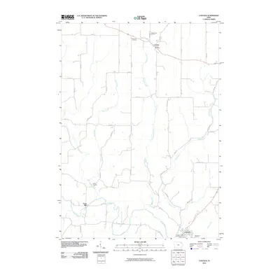 2010 Castalia2010 Print · USGSCovers Winneshiek County, including Clermont, Castalia, and other nearby areas
 - 2010 Map of Postville NW, 2010 Print
 2010 Postville NW2010 Print · USGSCovers Winneshiek County, including United States, Iowa, and other nearby areas
 - 2010 Map of Saint Lucas, 2010 Print
 2010 Saint Lucas2010 Print · USGSCovers Winneshiek County, including Saint Lucas, St. Lucas, and other nearby areas
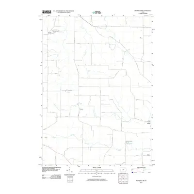
 - 2010 Map of Frankville, 2010 Print
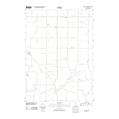 2010 Frankville2010 Print · USGSCovers Winneshiek County, including Moneek, Ludlow, and other nearby areas
 - 2010 Map of Hanover, 2010 Print
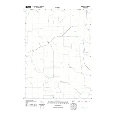
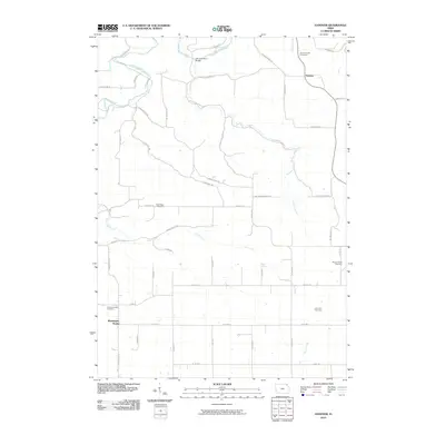 2010 Hanover2010 Print · USGSCovers Winneshiek County, including Hanover, Washington Prairie, and other nearby areas
 - 2010 Map of Cresco SE, 2010 Print
 2010 Cresco SE2010 Print · USGSCovers Winneshiek County, including Cresco, Ridgeway, and other nearby areas
 - 2010 Map of Harmony, 2010 Print
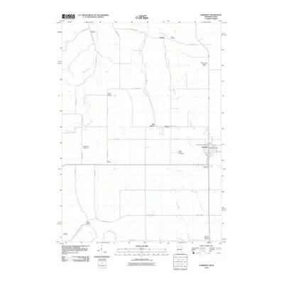 2010 Harmony2010 Print · USGSCovers Winneshiek County, including Harmony, Big Spring, and other nearby areas
 - 2010 Map of Spring Grove, 2010 Print
 2010 Spring Grove2010 Print · USGSCovers Winneshiek County, including Spring Grove, Black Hammer, and other nearby areas
 - 2010 Map of Wilmington, 2010 Print
 2010 Wilmington2010 Print · USGSCovers Winneshiek County, including Caledonia, Spring Grove, and other nearby areas
 - 2010 Map of Mabel, 2010 Print
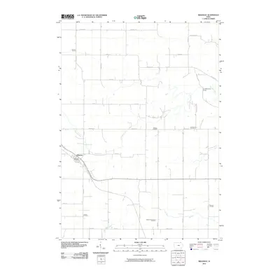
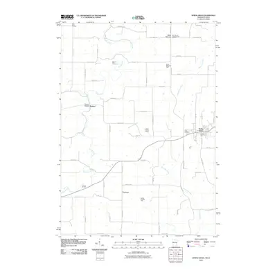
 2010 Mabel2010 Print · USGSCovers Winneshiek County, including Mabel, Newburg, and other nearby areas
 - 2010 Map of Canton, 2010 Print
 2010 Canton2010 Print · USGSCovers Winneshiek County, including Harmony, Amherst, and other nearby areas
Showing maps 1-25 of 125
Top cities of Winneshiek County
- Decorah historical maps
- Calmar historical maps
- Ossian historical maps
- Spillville historical maps
- Fort Atkinson historical maps
- Ridgeway historical maps
See more
Frequently asked questions
- What are the different types of historical maps available for Winneshiek County?
- What is the oldest map of Winneshiek County?
- Where can I purchase historical maps of Winneshiek County for my home or office?
- Where can I download high-res historical maps of Winneshiek County?
- Are there historical topographic maps available for Winneshiek County?
- Is there historical aerial imagery available for Winneshiek County?
- Where are historical maps of Winneshiek County sourced from?