Old Maps of Worth County, Iowa for Academic Research
Study the evolution of Worth County with 52 high-resolution historic maps. Whether you're teaching, researching, or modeling changes in land use, these maps provide essential visual documentation of urban, environmental, and geographic change.
- Analyze long-term change: Track patterns in development, transportation, and natural features.
- Ideal for environmental or urban studies: Support academic projects with primary historical map data.
- Use in the classroom or lab: Educators and researchers rely on these maps to bring historical context to life.
These maps are a powerful tool for teaching, research, and visualizing how Worth County has changed over the decades.
Worth County, IA maps
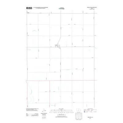
(52)- 1954 Map of Mason City, 1967 Print
 1954 Mason City1967 Print · USGSSouthern Minnesota and northern Iowa are shown here at the height of the mid-century rail era, centered on the regional hubs of Mason City and Rochester. Researchers can trace the vanished paths of the Chicago Great Western and find local landmarks like Pilot Knob and Bear Lake.2 unique versions available
 - 1957 Map of Mason City
 1957 Mason City1957 Print · USGSThe Minnesota-Iowa border region comes alive in this mid-century survey, from the industrial plants of Mason City to the medical hub of Rochester. Researchers can trace the rail-and-river economy through the Chicago Great Western Railway and the Shell Rock River.
 - 1958 Map of Mason City
 1958 Mason City1958 Print · USGSSouthern Minnesota and northern Iowa are shown during the mid-fifties when railroads still anchored the regional economy. Genealogists and historians can trace the intricate rail networks of the Illinois Central and find local landmarks in Mason City, Albert Lea, and Austin.
 - 1972 Map of Manly, 1975 Print
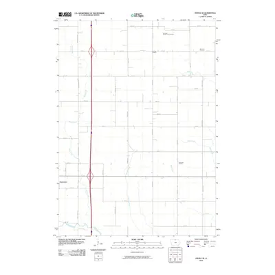
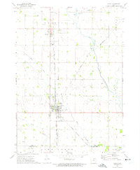 1972 Manly1975 Print · USGSWorth and Cerro Gordo counties are captured in the early 1970s as agricultural life and heavy rail converge. Genealogists and local historians can trace the paths of the Chicago Rock Island and Pacific through Manly or locate family plots at Kensett Cem and Bohemian Cem.
 - 1972 Map of Fertile, 1975 Print
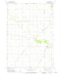
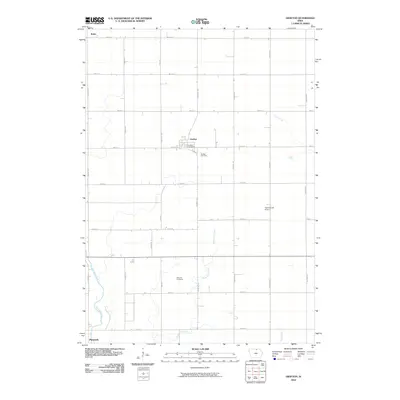
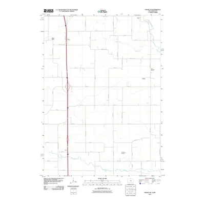
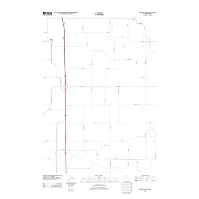
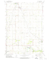 1972 Fertile1975 Print · USGSWorth County farming communities and the rail corridor are captured here during the early seventies. Genealogists and local historians can locate family sites near Elim Cem, Hanlontown, and the Chicago and North Western tracks.
 - 1972 Map of Northwood, 1975 Print
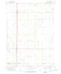
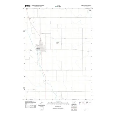
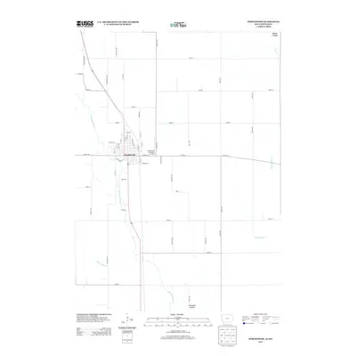
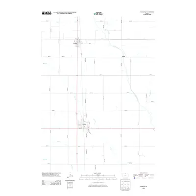
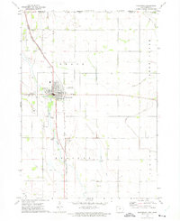 1972 Northwood1975 Print · USGSNorthwood sits at the crossroads of major Midwestern rail lines in the early seventies, just south of the Minnesota border. Genealogists and local historians can trace the town's footprint alongside the Shell Rock River, locating Sunset Rest Cem and the Fairground.
 - 1972 Map of Fertile NE, 1975 Print
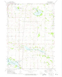
 1972 Fertile NE1975 Print · USGSWorth County, Iowa, and Freeborn County, Minnesota, meet here in the early 1970s, where intensive drainage projects and wildlife management define the land. Researchers can trace historic water management at Ditch systems or locate the North Shell Rock Cem near the Shell Rock River.
 - 1972 Map of Bristol, 1975 Print
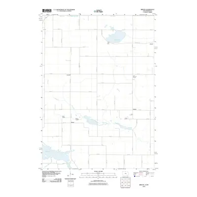
 1972 Bristol1975 Print · USGSWorth County and the Minnesota border come alive in the early seventies, showing a landscape of managed marshes and rail-connected settlements. Trace the rural community through St Patricks Cem, the village of Emmons, and the Bristol Ch.
 - 1972 Map of Fertile SE, 1975 Print
 1972 Fertile SE1975 Print · USGSNorthern Iowa farmland in the early seventies centers on the settlement of Hanlontown and the surrounding township sections. Genealogists and local historians can trace family roots through the Elk Grove Cem, Elk Creek Ch, and the old Chicago and North Western rail line.
 - 1972 Map of Grafton, 1975 Print
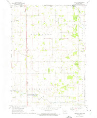
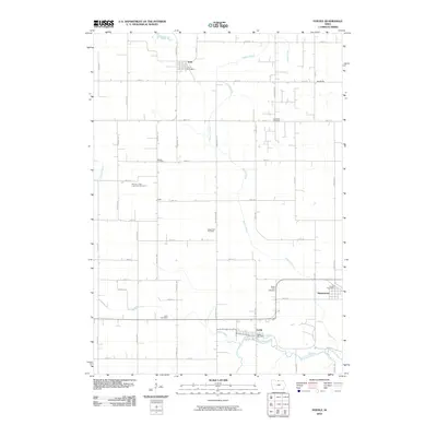
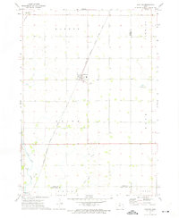 1972 Grafton1975 Print · USGSWorth County's agricultural heartland is captured here in the early seventies, showing a landscape defined by rail lines and section-grid farming. Genealogists and local historians can trace family farmsteads near Grafton, find the Grafton Cem, and follow the Shell Rock River past Plymouth.
 - 1972 Map of Carpenter, 1975 Print
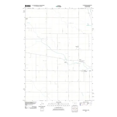
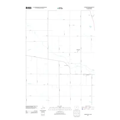
 1972 Carpenter1975 Print · USGSThe Iowa-Minnesota border region is captured here in the early 1970s as a thriving rail and agricultural corridor. Genealogists and local historians can trace the rural landscape through landmarks like Newburg Cem, the village of Meltonville, and Deer Creek Ch.
 - 1985 Map of Mason City
 1985 Mason City1985 Print · USGSThe Northern Iowa and Southern Minnesota borderlands are captured here in the mid-eighties, showing a region defined by agricultural drainage and rail heritage. Genealogists and historians can trace the grid of rural townships and find local landmarks like Pilot Knob State Park, Nora Springs, and Clear Lake State Park.2 unique versions available
 - 2010 Map of Fertile SE, 2010 Print
 2010 Fertile SE2010 Print · USGSCovers Worth County, including Hanlontown, Cerro Gordo County, and other nearby areas
 - 2010 Map of Manly, 2010 Print
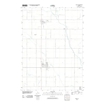 2010 Manly2010 Print · USGSCovers Worth County, including Manly, Plymouth, and other nearby areas
 - 2010 Map of Grafton, 2010 Print
 2010 Grafton2010 Print · USGSCovers Worth County, including Plymouth, Grafton, and other nearby areas
 - 2010 Map of Fertile, 2010 Print
 2010 Fertile2010 Print · USGSCovers Worth County, including Fertile, Joice, and other nearby areas
 - 2010 Map of Fertile NE, 2010 Print
 2010 Fertile NE2010 Print · USGSCovers Worth County, including Silver Lake, Freeborn County, and other nearby areas
 - 2010 Map of Northwood, 2010 Print
 2010 Northwood2010 Print · USGSCovers Worth County, including Northwood, Deer Creek, and other nearby areas
 - 2010 Map of Carpenter, 2010 Print
 2010 Carpenter2010 Print · USGSCovers Worth County, including Carpenter, Meltonville, and other nearby areas
 - 2010 Map of Bristol, 2010 Print
 2010 Bristol2010 Print · USGSCovers Worth County, including Emmons, Somber, and other nearby areas
 - 2013 Map of Fertile NE, 2013 Print
 2013 Fertile NE2013 Print · USGSCovers Worth County, including Silver Lake, Freeborn County, and other nearby areas
 - 2013 Map of Northwood, 2013 Print
 2013 Northwood2013 Print · USGSCovers Worth County, including Northwood, Deer Creek, and other nearby areas
 - 2013 Map of Carpenter, 2013 Print
 2013 Carpenter2013 Print · USGSCovers Worth County, including Carpenter, Meltonville, and other nearby areas
 - 2013 Map of Manly, 2013 Print
 2013 Manly2013 Print · USGSCovers Worth County, including Manly, Plymouth, and other nearby areas
 - 2013 Map of Grafton, 2013 Print
 2013 Grafton2013 Print · USGSCovers Worth County, including Plymouth, Grafton, and other nearby areas
Showing maps 1-25 of 52
Top cities of Worth County
- Northwood historical maps
- Manly historical maps
- Fertile historical maps
- Kensett historical maps
- Grafton historical maps
- Joice historical maps
See more
Frequently asked questions
- What are the different types of historical maps available for Worth County?
- What is the oldest map of Worth County?
- Where can I purchase historical maps of Worth County for my home or office?
- Where can I download high-res historical maps of Worth County?
- Are there historical topographic maps available for Worth County?
- Is there historical aerial imagery available for Worth County?
- Where are historical maps of Worth County sourced from?