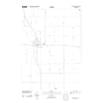
2013 Map of Northwood
USGS Topo · Published 2013About this map
The town of Northwood serves as the focal point of this northern Iowa landscape, situated along the meandering path of the Shell Rock River. The river corridor defines the western edge of the community, while the surrounding terrain is dominated by a grid-like network of agricultural roads and drainage systems like Ditch Number 11 and Ditch Number 40. To the east of the town center, the Northwood Municipal Airport is a notable modern landmark near the intersection of Co HWY s48 and 470th St. To the south, the terrain opens into the Turkeyfoot Prairie, reflecting the area's natural heritage amidst a deeply managed agricultural environment. Water remains a defining feature of the quadrangle, with Deer Creek cutting through the northeast corner, providing a contrast to the geometric precision of the farm plots and bird-named avenues such as Nuthatch Ave and Partridge Ave.
Find a feature on this map
53 named features on this map. Tap any name to fly to it.
Don’t see what you’re looking for? This feature index may not catch every label — zoom into the map to look around manually.
Map Details
Editions of this 2013 Northwood Map
This is the sole edition of this map. No revisions or reprints were ever made.
Other maps of this area

1954 · Albert Lea
USGS Topo · 1:62,500

1954 · Hayward
USGS Topo · 1:62,500

1954 · Mason City
USGS Topo · 1:250,000

1957 · Mason City
USGS Topo · 1:250,000

1958 · Mason City
USGS Topo · 1:250,000

1972 · Manly
USGS Topo · 1:24,000

1972 · Northwood
USGS Topo · 1:24,000

1972 · Fertile NE
USGS Topo · 1:24,000
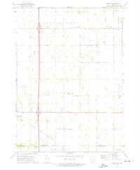
1972 · Fertile SE
USGS Topo · 1:24,000
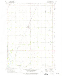
1972 · Grafton
USGS Topo · 1:24,000