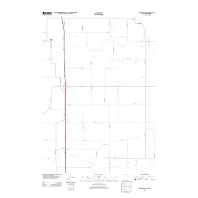
2013 Map of Fertile NE
USGS Topo · Published 2013About this map
Silver Lake and the small settlement of Tenold anchor this northern Iowa landscape, where the agricultural grid meets the winding waters of the Shell Rock River. The terrain is defined by its drainage and watercourses, including the serpentine path of Goose Cr and the southern flow of Elk Cr. Large open spaces like Panicum Prairie remain distinct from the surrounding network of section-line roads, such as Co Hwy-105 and Wheelerwood Rd. The map illustrates a highly organized rural landscape where early 21st-century infrastructure is superimposed over natural landmarks like Marks Hill Rd. The inclusion of Ditch Number 40 highlights the human engineering required to manage the prairie hydrology for local cultivation.
Find a feature on this map
40 named features on this map. Tap any name to fly to it.
Don’t see what you’re looking for? This feature index may not catch every label — zoom into the map to look around manually.
Map Details
Editions of this 2013 Fertile NE Map
This is the sole edition of this map. No revisions or reprints were ever made.
Other maps of this area

1954 · Albert Lea
USGS Topo · 1:62,500

1954 · Hayward
USGS Topo · 1:62,500

1954 · Mason City
USGS Topo · 1:250,000

1957 · Mason City
USGS Topo · 1:250,000

1958 · Mason City
USGS Topo · 1:250,000

1972 · Manly
USGS Topo · 1:24,000

1972 · Fertile
USGS Topo · 1:24,000

1972 · Northwood
USGS Topo · 1:24,000

1972 · Fertile NE
USGS Topo · 1:24,000

1972 · Bristol
USGS Topo · 1:24,000