Old Maps of Barton County, Kansas for Metal Detecting
Plan your next treasure hunt with 159 historic maps of Barton County. Find old homesites, ghost towns, trails, and gathering spots that may be lost to time — perfect for identifying promising metal detecting locations.
- Locate forgotten sites: Uncover places like long-lost settlements, abandoned rail lines, or gathering spots.
- Plan better hunts: Use map overlays combined with LiDAR or satellite views to narrow in on historically rich areas.
- Made for detectorists: Thousands of hobbyists use these maps to discover relics, coins, and hidden history.
Use these historic maps to boost your research and find new opportunities beneath the surface of Barton County.
Barton County, KS maps
(159)- 1889 Map of Larned, 1957 Print
 1889 Larned1957 Print · USGSWestern Kansas at the close of the frontier era shows a landscape being rapidly transformed by the iron rail and river commerce. Genealogists and historians can trace early township growth and rail stations like Rush Centre, Roselle, and the hub at Larned.
 - 1891 Map of Great Bend
 1891 Great Bend1891 Print · USGSThe Arkansas River valley comes alive in the late nineteenth century as railroads transform the Kansas prairie. Genealogists and historians can trace the early growth of Great Bend, the salt-spring landscapes of Byron, and rail stops like Seward and Heizer.
 - 1891 Map of Larned
 1891 Larned1891 Print · USGSLarned and the surrounding Kansas plains were undergoing a rapid transformation into a rail-and-river economy in the late 1880s. Local researchers can trace the growth of Larned at the river forks or follow the path of the Atchison Topeka and Santa Fe Railroad through towns like Rush Centre and Garfield.5 unique versions available
 - 1893 Map of Great Bend
 1893 Great Bend1893 Print · USGSCentral Kansas was undergoing rapid settlement in the late nineteenth century as the railroads moved across the prairie. Genealogists and historians can trace early townships and station stops like Great Bend, Pawnee Rock, and Ellinwood along the Arkansas River.5 unique versions available
 - 1894 Map of Ellsworth
 1894 Ellsworth1894 Print · USGSCentral Kansas was undergoing a period of rapid railway expansion in the late nineteenth century, transforming the prairie into a network of grid-organized townships. Genealogists and historians can trace early town sites and rail junctions like Ellsworth, Holyrood, and the path of the Union Pacific Railway.4 unique versions available
 - 1894 Map of Lyons
 1894 Lyons1894 Print · USGSRice County during the late nineteenth-century rail boom shows a landscape organized by townships and expanding prairie towns. Researchers can trace the early development of Lyons and Sterling or locate vanished landmarks like Huntsville P.O. and the Black Marsh.5 unique versions available
 - 1896 Map of Russell
 1896 Russell1896 Print · USGSCentral Kansas at the end of the nineteenth century reveals a landscape shaped by the Union Pacific and Missouri Pacific railroads. Genealogists can trace early homesteads near Maherville P.O., Dubuque, and the marshy Cheyenne Bottoms.4 unique versions available
 - 1896 Map of Hays
 1896 Hays1896 Print · USGSThe High Plains of central Kansas thrive in the 1890s as twin railroad corridors fuel the growth of new townships and farming communities. Genealogists can trace family roots through early settlements like Catharine, Munjor, and Liebenthal or locate family homesteads along the Union Pacific R. R. and Smoky Hill River.5 unique versions available
 - 1955 Map of Great Bend, 1966 Print
 1955 Great Bend1966 Print · USGSCentral Kansas during the mid-sixties transition reveals a landscape defined by new reservoirs and enduring rail corridors. Researchers can trace the development of towns like Hays and Great Bend or locate natural landmarks such as Round Mound and the wetlands of the Quivira National Wildlife Refuge.3 unique versions available
 - 1956 Map of Ellinwood NE, 1957 Print
 1956 Ellinwood NE1957 Print · USGSBarton County is captured here in the mid-1950s, a period defined by the expansion of the local petroleum industry across the prairie. Genealogists and historians can trace the rural landscape through family-centric landmarks like SS Peter & Paul Sch, School No 10, and the sprawling Cheyenne Bottoms.2 unique versions available
 - 1956 Map of Ellinwood NW, 1957 Print
 1956 Ellinwood NW1957 Print · USGSBarton County mid-century landscape is defined by the massive marshlands and engineering of the central plains. Trace the early management of the Cheyenne Bottoms State Waterfowl Refuge and locate rural landmarks like Dartmouth and the Cheyenne View Sch.2 unique versions available
 - 1957 Map of Great Bend
 1957 Great Bend1957 Print · USGSCentral Kansas at the peak of the postwar era shows a landscape of growing rail hubs and massive new water projects. Trace the routes of the Union Pacific through Hays or locate the newly formed shorelines of Cedar Bluff Reservoir and Kanopolis Reservoir.
 - 1957 Map of Ellinwood SW, 1958 Print
 1957 Ellinwood SW1958 Print · USGSThe Great Bend Prairie south of the Arkansas River is shown here during the late fifties oil boom. Genealogists and historians can locate rural schools like Rolling Green Sch or the Bellville Sch (Abandoned) and trace the Atchison Topeka and Santa Fe rail line.2 unique versions available
 - 1957 Map of Ellinwood, 1958 Print
 1957 Ellinwood1958 Print · USGSBarton County is captured here in the late fifties, showcasing the productive intersection of rail, river, and oil. Researchers can trace family roots at St Josephs Cem, locate vanished rural schoolhouses like School No 30, or follow the busy Atchison Topeka and Santa Fe corridor.2 unique versions available
 - 1958 Map of Great Bend
 1958 Great Bend1958 Print · USGSCentral Kansas in the late fifties reveals a landscape of high-plains agriculture and vital river crossings. Researchers can trace the development of regional hubs like Hays and Russell, or locate historic sites such as Fort Larned and the Cheyenne Bottoms wildlife area.2 unique versions available
 - 1958 Map of Great Bend, 1959 Print
 1958 Great Bend1959 Print · USGSGreat Bend and the surrounding Kansas plains are captured in detail during the late fifties, showing a bustling regional center defined by the Arkansas River. Genealogists and local historians can trace many neighborhood schools like Lincoln Sch or locate family plots in the Great Bend Cemetery.3 unique versions available
 - 1959 Map of Great Bend NE, 1960 Print
 1959 Great Bend NE1960 Print · USGSBarton County at the close of the 1950s reveals a landscape defined by meandering creeks, expanding oil fields, and a network of rural schools. Genealogists and historians can locate Walnut Valley Cem, trace the Koen Canal, and find early landmarks like Jefferson Sch.3 unique versions available
 - 1960 Map of Pawnee Rock, 1961 Print
 1960 Pawnee Rock1961 Print · USGSThe Kansas river valley near Pawnee Rock was a landscape of rail-driven transit and early oil exploration in the 1960s. Genealogists and historians can locate rural landmarks like Bergtal Ch, the namesake Pawnee Rock State Park, and the tracks of the Atchison Topeka and Santa Fe.2 unique versions available
 - 1960 Map of Heizer, 1961 Print
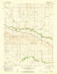 1960 Heizer1961 Print · USGSBarton County agriculture and the burgeoning oil industry meet in the 1960s along the winding Walnut Creek. Researchers can trace old rail corridors like the Atchison Topeka and Santa Fe or locate rural landmarks such as St Anthony Cem and the Walnut Ridge Sch.
 - 1964 Map of Holyrood NW
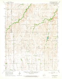 1964 Holyrood NW1964 Print · USGSMid-century Ellsworth and Barton counties reveal a landscape shaped by petroleum extraction and rural community hubs. Genealogists and historians can locate family landmarks like Palacky Cem and the Townhall alongside the Progress Oil Field.
 - 1964 Map of Holyrood, 1965 Print
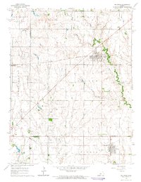 1964 Holyrood1965 Print · USGSCentral Kansas during the mid-sixties reveals a landscape defined by the convergence of major rail lines and a dense network of petroleum production. Researchers can trace the Atchison Topeka and Santa Fe tracks through Holyrood and locate the Bushton Cem near the Missouri Pacific line.
 - 1965 Map of Otis, 1967 Print
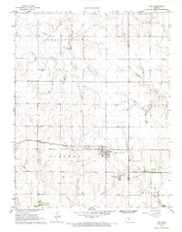 1965 Otis1967 Print · USGSThe town of Otis is captured in the mid-sixties as a center of Kansas energy production and agriculture. Researchers can trace the rail-side refinery, the Bureau of Mines Helium Plant, and local burial sites like the Lutheran Cem.
 - 1965 Map of Albert, 1967 Print
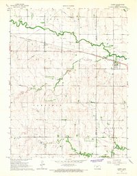 1965 Albert1967 Print · USGSMid-century Barton and Rush counties are captured here as a productive landscape of grain and gas along the Walnut Creek valley. Trace the early energy boom through the local GAS FIELD or locate family sites at Shaffer, Walnut View Sch, and the Albert Cem.
 - 1969 Map of Olmitz, 1971 Print
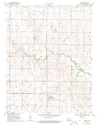 1969 Olmitz1971 Print · USGSBarton County oil production and prairie rail transit are documented here in the late sixties. Genealogists and local historians can locate several rural burial grounds like St Anns Cem and Boyle Cem, as well as the Missouri Pacific rail corridor.
 - 1969 Map of Claflin, 1971 Print
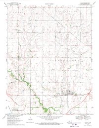 1969 Claflin1971 Print · USGSBarton County oil production and rail transport converge in the late sixties near the town of Claflin. Genealogists and local historians can trace family locations through rural landmarks like Odin, Holy Family Cem, and the Bloomingdale Cem.
Showing maps 1-25 of 159
Top cities of Barton County
- Great Bend historical maps
- Hoisington historical maps
- Ellinwood historical maps
- Claflin historical maps
- Buffalo Township historical maps
- Pawnee Rock historical maps
See more
Frequently asked questions
- What are the different types of historical maps available for Barton County?
- What is the oldest map of Barton County?
- Where can I purchase historical maps of Barton County for my home or office?
- Where can I download high-res historical maps of Barton County?
- Are there historical topographic maps available for Barton County?
- Is there historical aerial imagery available for Barton County?
- Where are historical maps of Barton County sourced from?