2010s Maps of Barton County, Kansas
Explore 72 historic maps of Barton County from the 2010s. These maps offer a rare glimpse into what life looked like during the 2010s — showing old roads, neighborhoods, homes, and landmarks that have changed or disappeared over time.
Whether you're researching your family's past, planning a metal detecting trip, or studying how Barton County's landscape evolved across the 2010s, these high-resolution maps are a powerful tool for exploring the history of this region.
- Focus on a specific era: All maps on this page are from the 2010s, giving you a focused view of this time period.
- See what’s changed: Compare century-old streets, trails, and buildings to today's modern landscape using overlays and satellite layers.
- Research with precision: Use these maps for genealogy, historical research, land use analysis, or educational projects.
- View, download, or print: Maps are fully viewable online in high resolution, and can be downloaded or printed for your own records.
Start exploring Barton County's history through authentic maps from the 2010s. This is your window into the past.
Barton County, KS maps
(72)- 2012 Map of Albert, 2012 Print
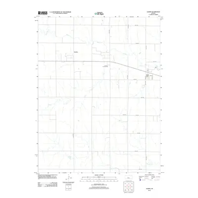 2012 Albert2012 Print · USGSBarton County agriculture and energy production intersect in the early twenty-first century along the banks of Walnut Cr. Local historians can trace the town layouts of Albert and Schaffer or locate the Albert Cem and the Otis-Albert Oil and Gas Field.
 - 2012 Map of Albert SE, 2012 Print
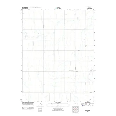 2012 Albert SE2012 Print · USGSBarton County, Kansas, is captured in the early 2010s as a landscape of grid-patterned prairie and active energy production. Local history researchers can trace the reach of the Rutherford Oil Field and the winding course of Dry Walnut Cr.
 - 2012 Map of Otis, 2012 Print
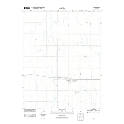 2012 Otis2012 Print · USGSOtis and the surrounding Rush County plains are captured here in the early 21st century, showing the intersection of rural townships and prairie waterways. Researchers can locate the Lutheran Cem, the local PO, and the drainage patterns of Eagle Cr.
 - 2012 Map of Otis NE, 2012 Print
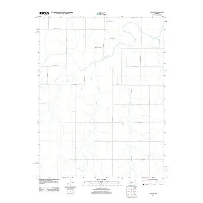 2012 Otis NE2012 Print · USGSThe Smoky Hill River valley south of Hays is captured here in the early twenty-first century, showcasing the intersection of prairie watercourses and rural section roads. Researchers can locate Pleasantdale Cem or trace the paths of Eagle Cr and Duck Cr.
 - 2012 Map of Olmitz, 2012 Print
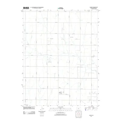 2012 Olmitz2012 Print · USGSBarton County is shown here in the early 2010s, defined by its traditional agricultural grid and active petroleum production. Genealogists can locate family sites at Saint Anns Cem and Boyle Cem, or trace the development of the Mary A Oil Field.
 - 2012 Map of Great Bend, 2012 Print
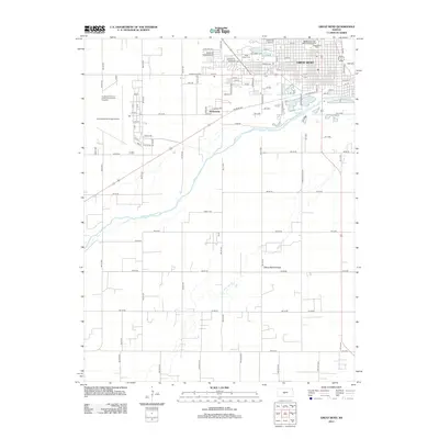 2012 Great Bend2012 Print · USGSBarton County life in the early 21st century centers on the bend of the river where urban expansion meets the Kansas prairie. Trace the development of Great Bend near the Arkansas River, from the Great Bend Cem to the Great Bend Municipal Airport.
 - 2012 Map of Pawnee Rock, 2012 Print
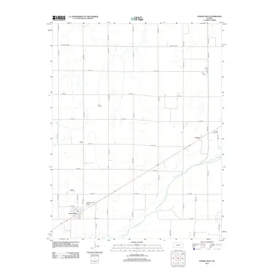 2012 Pawnee Rock2012 Print · USGSBarton County at the start of the twenty-first century shows a landscape defined by the Arkansas River and agricultural section lines. Genealogists can trace family footprints across several rural burial sites, including Rockville Cem and Bergtal Cem.
 - 2012 Map of Beaver, 2012 Print
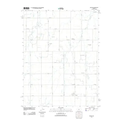 2012 Beaver2012 Print · USGSBarton County, Kansas, is shown in the early 21st century as a landscape shaped by petroleum and faith. Genealogists can locate family burial sites at Saint Josephs Cem and Friends Cem, while researchers can trace the extent of the Beaver North Oil Field.
 - 2012 Map of Ellinwood SW, 2012 Print
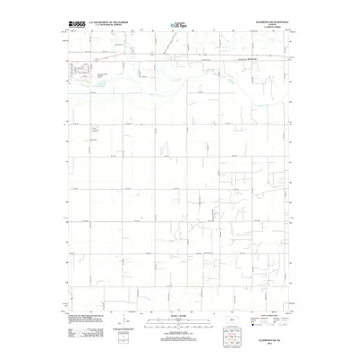 2012 Ellinwood SW2012 Print · USGSBarton County just east of Great Bend is shown here as the local landscape appeared in the early 2010s. Genealogists and researchers can trace rural section lines to landmarks like Bellville School and the settlement of Dartmouth near the Arkansas River.
 - 2012 Map of Susank, 2012 Print
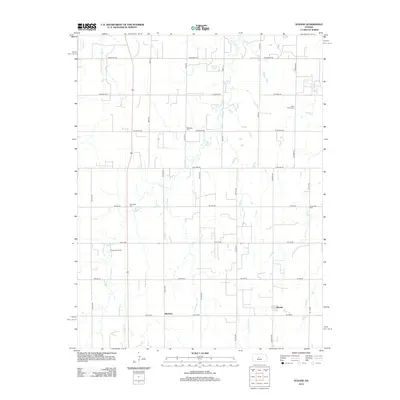 2012 Susank2012 Print · USGSBarton County agriculture and industry meet in the early twenty-first century near Susank and Stickney. Researchers can locate ancestral plots at Cross Plains Cem or Schneider Cem and trace the extent of the Templing Oil Field.
 - 2012 Map of Raymond, 2012 Print
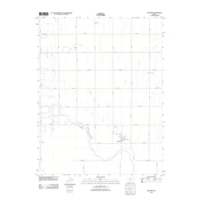 2012 Raymond2012 Print · USGSCentral Kansas life revolves around the Arkansas River and the small town of Raymond in this 2012 study. Genealogists and local historians can locate family plots at Hilltop Cem or trace the early foundations of Silica along the northern rail corridor.
 - 2012 Map of Dubuque, 2012 Print
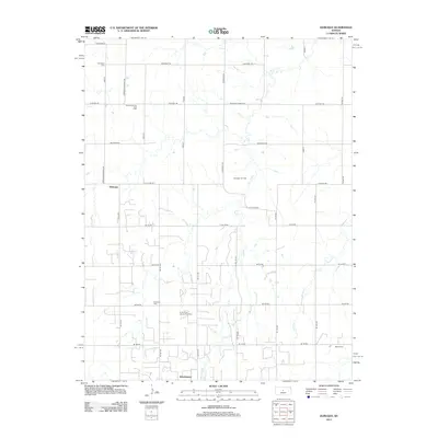 2012 Dubuque2012 Print · USGSBarton County is shown during a period of transition in the early twenty-first century, where energy extraction meets traditional agriculture. Genealogists can locate family landmarks such as Dubuque Cem and Immanuel Cem near the Driscoll Oil and Gas Field.
 - 2012 Map of Ellinwood NW, 2012 Print
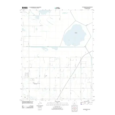 2012 Ellinwood NW2012 Print · USGSBarton County, Kansas, is shown here in the early twenty-first century as a landscape defined by the massive Cheyenne Bottoms wetlands. Researchers can trace the local infrastructure surrounding Barton County Community Coll and find remote landmarks like Button Airport.
 - 2012 Map of Holyrood, 2012 Print
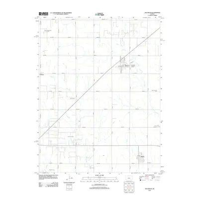 2012 Holyrood2012 Print · USGSHolyrood and Bushton are documented here at the start of the 2010s, showing a landscape defined by prairie agriculture and oil production. Researchers can trace family history at Button Cem or locate old community sites like Farhman and Cain.
 - 2012 Map of Chase NW, 2012 Print
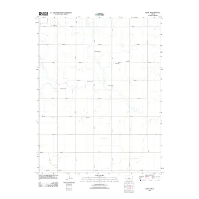 2012 Chase NW2012 Print · USGSBarton County oil production and rural cemeteries are mapped here during the early twenty-first century. Genealogists and researchers can trace family lands near the Montgomery Cem or explore the extent of the Chase-Silica Oil Field.
 - 2012 Map of Redwing, 2012 Print
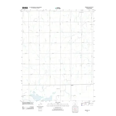 2012 Redwing2012 Print · USGSBarton County, Kansas, is depicted here in the early twenty-first century as a landscape of grid-roads and active energy production. Local historians and land researchers can trace the extent of the Beaver South Oil Field and Odin Oil Field surrounding the small community of Redwing.
 - 2012 Map of Heizer, 2012 Print
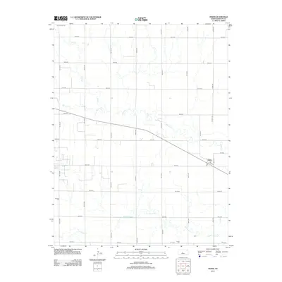 2012 Heizer2012 Print · USGSBarton County agricultural lands are captured here in the early twenty-first century, showing the small settlement of Heizer amidst a network of section-line roads. Researchers can locate several burial sites including Saint Anthony Cem and Patterson Cem along the winding banks of Walnut Cr.
 - 2012 Map of Ellinwood, 2012 Print
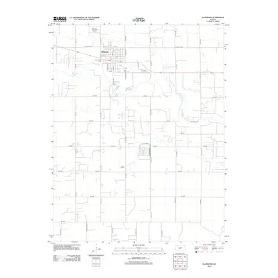 2012 Ellinwood2012 Print · USGSEllinwood sits alongside the winding Arkansas River in the early twenty-first century, surrounded by a vast grid of Barton County section roads. Genealogists and local historians can locate Saint Josephs Cem and trace the town's street-level detail from S Main St to the PO.
 - 2012 Map of Holyrood NW, 2012 Print
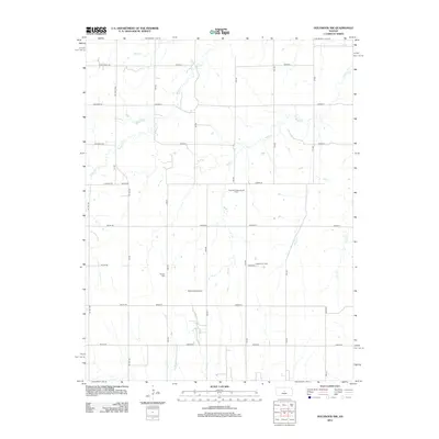 2012 Holyrood NW2012 Print · USGSBarton County is captured here in the early twenty-first century, showcasing its dual identity as a center for both agriculture and energy production. Researchers can pinpoint the Palacky Cem or trace the extent of the Progress Oil Field and Stoltenberg Oil Field.
 - 2012 Map of Hoisington, 2012 Print
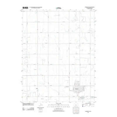 2012 Hoisington2012 Print · USGSBarton County enters the second decade of the millennium as a center of oil production and prairie agriculture. Genealogists and researchers can trace the roads near Hoisington, locate family plots at Olivet Cem, or study the extent of the Carroll Oil Field.
 - 2012 Map of Claflin, 2012 Print
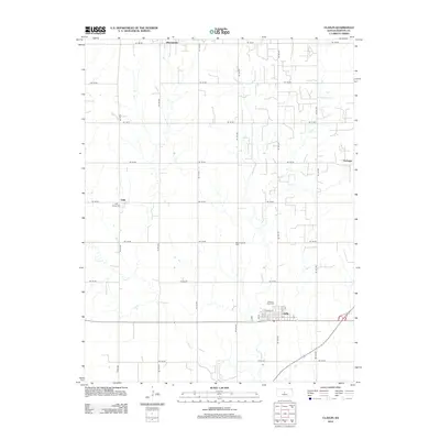 2012 Claflin2012 Print · USGSBarton County agriculture and small-town life are captured here in the early twenty-first century. Genealogists and local historians can locate specific burial sites and family landmarks like Pleasant View Cem, Holy Family Cem, and the streets of Claflin.
 - 2012 Map of Great Bend NE, 2012 Print
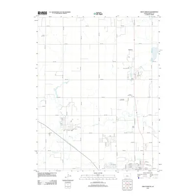 2012 Great Bend NE2012 Print · USGSBarton County is captured here in the early twenty-first century as the area north of Great Bend balances its agricultural roots with civic expansion. Researchers can trace family history at Walnut Valley Cemetery or locate the old siding at Dent Spur.
 - 2012 Map of Ellinwood NE, 2012 Print
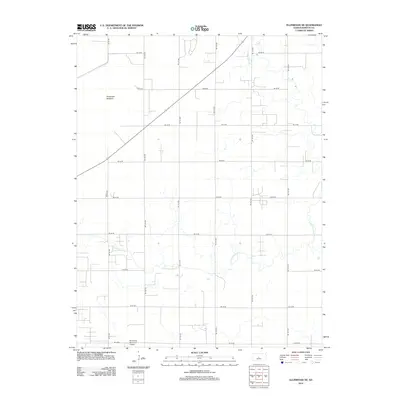 2012 Ellinwood NE2012 Print · USGSBarton County, Kansas, is documented here in the early twenty-first century, showcasing the intersection of the prairie's grid-work roads and natural drainage basins. Researchers can trace the path of Little Cheyenne Cr or locate the Ellinwood Municipal Airport.
 - 2012 Map of Galatia, 2012 Print
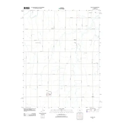 2012 Galatia2012 Print · USGSBarton County agriculture and petroleum interests intersect in the early twenty-first century as the prairie meets the Smoky Hill River. Family researchers and historians can trace local roots at Milberger Cem, Fairview Cem, and the village of Galatia.
 - 2015 Map of Otis, 2015 Print
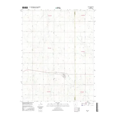 2015 Otis2015 Print · USGSThe community of Otis and its surrounding prairie landscapes are captured here in the mid-2010s, showing the intersection of rural transit and agriculture. Genealogists and local historians can locate the Lutheran Cem and trace the paths of Eagle Cr and Blood Cr.
Showing maps 1-25 of 72
Top cities of Barton County
- Great Bend historical maps
- Hoisington historical maps
- Ellinwood historical maps
- Claflin historical maps
- Buffalo Township historical maps
- Pawnee Rock historical maps
See more
Frequently asked questions
- What are the different types of historical maps available for Barton County?
- What is the oldest map of Barton County?
- Where can I purchase historical maps of Barton County for my home or office?
- Where can I download high-res historical maps of Barton County?
- Are there historical topographic maps available for Barton County?
- Is there historical aerial imagery available for Barton County?
- Where are historical maps of Barton County sourced from?