Old Maps of Cedar Vale, Kansas for Genealogy
Trace your family roots with 18 historic maps of Cedar Vale. These high-res maps reveal old neighborhoods, homesites, landmarks, and streets — helping you uncover where your ancestors lived and how the area evolved over time.
- Explore historic neighborhoods: Identify where your relatives may have lived in the 1800s or 1900s.
- Compare maps over time: Trace the changes in streets, buildings, and landmarks for multi-generational research.
- Perfect for genealogy & ancestry research: Used by family historians and researchers to map out lineage and migration.
These maps are an incredible resource for exploring your personal connection to Cedar Vale's past.
Cedar Vale, KS maps
(18)- 1885 Map of Sedan, 1960 Print
 1885 Sedan1960 Print · USGSSoutheast Kansas during the 1880s rail boom shows a landscape of emerging prairie towns and expanding iron rails. Genealogists and local historians can trace the early rail layouts of the Atchison Topeka and Santa Fe Railroad through Elk Falls and Longton, or find long-established rural centers like Wauneta and Boston.
 - 1889 Map of Burden
 1889 Burden1889 Print · USGSCowley County was at the height of its railroad-driven expansion in the 1880s, becoming a vital corridor for three major lines. Researchers can trace the early layouts of Winfield, Burden, and Dexter alongside long-lost railroad stops like Torrance.6 unique versions available
 - 1889 Map of Sedan
 1889 Sedan1889 Print · USGSSoutheastern Kansas in the late nineteenth century is captured here as the railroad era transformed the prairie. Researchers can trace early township developments and the paths of the Denver Memphis and Atlantic Railroad through towns like Sedan, Grenola, and Cedar Vale.4 unique versions available
 - 1955 Map of Wichita, 1959 Print
 1955 Wichita1959 Print · USGSSouth-central Kansas comes alive in the mid-1950s as Wichita grows into its role as a regional industrial and military powerhouse. Trace the rail-and-river network connecting El Dorado and Arkansas City through the Atchison Topeka and Santa Fe lines.3 unique versions available
 - 1958 Map of Wichita
 1958 Wichita1958 Print · USGSSouth Central Kansas in the late fifties was a landscape of aviation industry, oil exploration, and expanding turnpikes. Researchers can trace mid-century growth through McConnell Air Force Base, major facilities for Cessna Aircraft Company, and the active El Dorado Oil Field.
 - 1962 Map of Cedar Vale West, 1963 Print
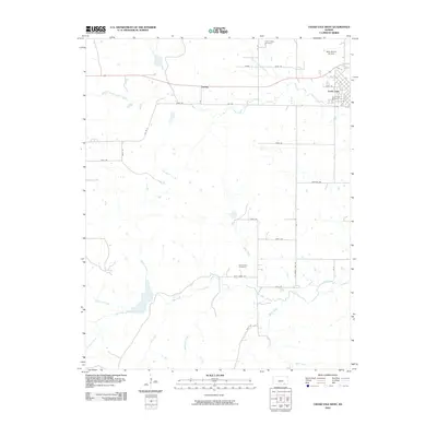
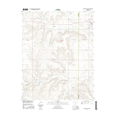
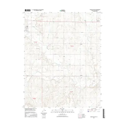
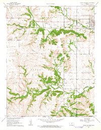 1962 Cedar Vale West1963 Print · USGSCowley County in the early 1960s reveals a landscape shaped by rail, ranching, and the legacy of the Old Indian Treaty Boundary. Genealogists and historians can trace family roots through the Cedar Creek Cem or locate the industrial footprint of local Oil Wells and the Missouri Pacific line.2 unique versions available
 - 1962 Map of Cedar Vale East, 1963 Print
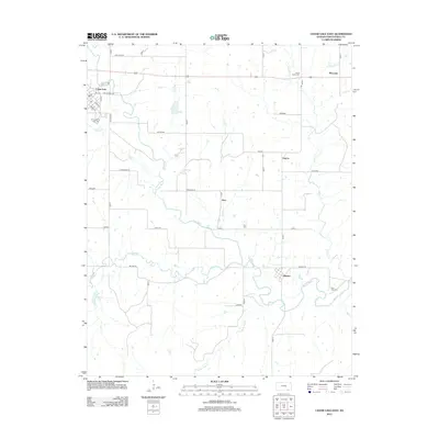
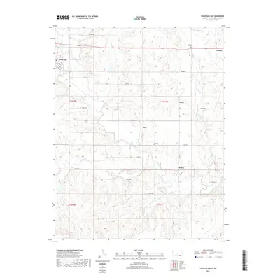
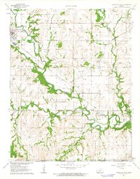 1962 Cedar Vale East1963 Print · USGSChautauqua County’s borderlands come into focus in the early sixties as the Caney River valley transitions into the Oklahoma panhandle. Genealogists and historians can trace the Old Indian Treaty Boundary and locate Osro Falls Cem or the rail-stop at Hewins.3 unique versions available
 - 1985 Map of Sedan
 1985 Sedan1985 Print · USGSSoutheast Kansas in the mid-1980s is defined by rail towns and prairie waterways along the Chautauqua and Cowley county lines. Researchers can trace the Atchison Topeka and Santa Fe line through Grenola or locate the Indian Treaty Boundary and Kaw State Wildlife Area.2 unique versions available
 - 2010 Map of Cedar Vale East, 2010 Print
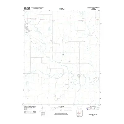 2010 Cedar Vale East2010 Print · USGSCovers Cedar Vale, including Layton, Osro, and other nearby areas
 - 2010 Map of Cedar Vale West, 2010 Print
 2010 Cedar Vale West2010 Print · USGSCovers Cedar Vale, including Taussig, Cowley County, and other nearby areas
 - 2012 Map of Cedar Vale East, 2012 Print
 2012 Cedar Vale East2012 Print · USGSCovers Cedar Vale, including Layton, Osro, and other nearby areas
 - 2012 Map of Cedar Vale West, 2012 Print
 2012 Cedar Vale West2012 Print · USGSCovers Cedar Vale, including Taussig, Cowley County, and other nearby areas
 - 2015 Map of Cedar Vale West, 2015 Print
 2015 Cedar Vale West2015 Print · USGSCovers Cedar Vale, including Taussig, Cowley County, and other nearby areas
 - 2015 Map of Cedar Vale East, 2015 Print
 2015 Cedar Vale East2015 Print · USGSCovers Cedar Vale, including Layton, Osro, and other nearby areas
 - 2018 Map of Cedar Vale East, 2018 Print
 2018 Cedar Vale East2018 Print · USGSCovers Cedar Vale, including Layton, Osro, and other nearby areas
 - 2018 Map of Cedar Vale West, 2018 Print
 2018 Cedar Vale West2018 Print · USGSCovers Cedar Vale, including Taussig, Cowley County, and other nearby areas
 - 2022 Map of Cedar Vale West, 2022 Print
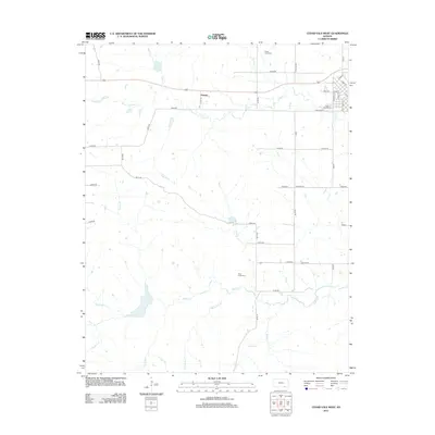
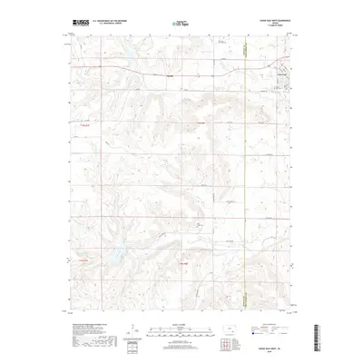
 2022 Cedar Vale West2022 Print · USGSCowley County's western rangelands come into focus in the early 2020s as the hills descend toward the valley of Rock Cr. Researchers can trace old family lineages at Rock Creek Cem or locate the quiet crossroads of Taussig and the streets of Cedar Vale.
 - 2022 Map of Cedar Vale East, 2022 Print
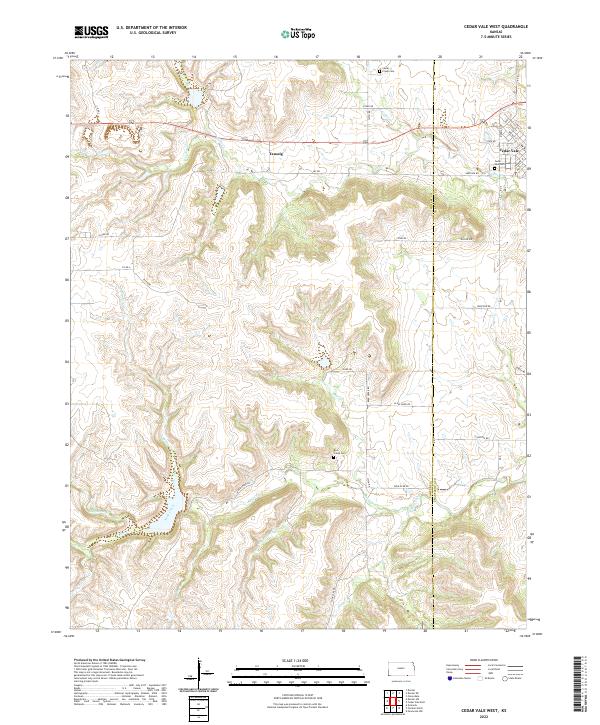
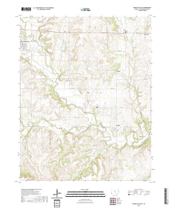 2022 Cedar Vale East2022 Print · USGSChautauqua County at the start of the 2020s remains a landscape of river-valley ranching and quiet rural hubs. Researchers can trace the local cemetery sites of Ozro and Rose Dale or locate the small centers of Hewins and Wauneta.
End of results
Showing maps 1-18 of 18
Top cities near Cedar Vale
Frequently asked questions
- What are the different types of historical maps available for Cedar Vale?
- What is the oldest map of Cedar Vale?
- Where can I purchase historical maps of Cedar Vale for my home or office?
- Where can I download high-res historical maps of Cedar Vale?
- Are there historical topographic maps available for Cedar Vale?
- Is there historical aerial imagery available for Cedar Vale?
- Where are historical maps of Cedar Vale sourced from?