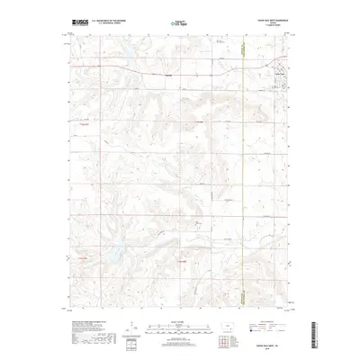
2018 Map of Cedar Vale West
USGS Topo · Published 2018About this map
Cedar Vale occupies the northeastern corner of this landscape, its residential grid defined by streets like Walnut St and Kingman St at the boundary between Cowley and Chautauqua counties. The terrain is defined by a dense network of drainage, where Rock Creek and its various tributaries, including Whittenby Cr and Acker Cr, carve through the Flint Hills region. The map captures a primarily rural cattle-ranching and agricultural environment where small family cemeteries and vanished railroad stops provide critical genealogical markers.
Find a feature on this map
47 named features on this map. Tap any name to fly to it.
Don’t see what you’re looking for? This feature index may not catch every label — zoom into the map to look around manually.
Map Details
Editions of this 2018 Cedar Vale West Map
This is the sole edition of this map. No revisions or reprints were ever made.
Other maps of this area

1885 · Sedan
USGS Topo · 1:125,000

1889 · Burden
USGS Topo · 1:125,000

1889 · Sedan
USGS Topo · 1:125,000

1909 · Pawhuska
USGS Topo · 1:125,000

1910 · Pawhuska
USGS Topo · 1:125,000

1916 · Foraker
USGS Topo · 1:62,500

1955 · Wichita
USGS Topo · 1:250,000

1955 · Enid
USGS Topo · 1:250,000

1958 · Enid
USGS Topo · 1:250,000

1958 · Wichita
USGS Topo · 1:250,000