Old Maps of Lebo, Kansas for Hiking & Exploration
Hike through history with 20 historic maps of Lebo. Explore old trails, ghost towns, and forgotten backroads — perfect for outdoor adventurers and local explorers.
- Rediscover forgotten places: Map out old mining camps, roads, and footpaths that no longer exist on modern maps.
- Layer with modern tools: Combine with LiDAR or satellite views to plan hikes through historical terrain.
- Made for exploration: Popular among hikers, overlanders, and local history lovers.
Use these maps to find adventure and explore the hidden past of Lebo.
Lebo, KS maps
(20)- 1885 Map of Burlington
 1885 Burlington1885 Print · USGSCoffey County was a hub of steam and steel in the 1880s, where several competing rail lines converged on the river valley. You can trace early family homesteads near Burlington, the small settlement of Bellgrade, and the junctions of the Kansas Southern Railroad.
 - 1894 Map of Burlington
 1894 Burlington1894 Print · USGSCoffey County was a bustling intersection of iron and water in the 1880s, where the Neosho River met multiple competing railroads. Genealogists can trace family footprints in early settlements like Burlington, Leroy, and the Welsh community of Arvonia.5 unique versions available
 - 1947 Map of Lawrence, 1954 Print
 1947 Lawrence1954 Print · USGSEastern Kansas and western Missouri thrive in the late 1940s, showing a landscape defined by major river valleys and a dense railway network. Genealogists can trace family settlements from Lawrence to Greenwood and locate landmarks like Olathe Navy and Lake Lotawana.
 - 1950 Map of Lawrence
 1950 Lawrence1950 Print · USGSMid-century Kansas and Missouri come alive in this map of the river-valley corridors just as the interstate era was beginning. Researchers can trace the legacy of major rail lines like the Union Pacific RR and locate ancestral roots in towns from Lawrence to Harrisonville.
 - 1956 Map of Lawrence, 1967 Print
 1956 Lawrence1967 Print · USGSEastern Kansas and the Missouri border country are captured here during the mid-century transition to the interstate era. Genealogists and local historians can trace family-named terrain like Summers Mound and the footprint of Sunflower Ordnance Works near Baldwin City.4 unique versions available
 - 1957 Map of Lebo, 1958 Print
 1957 Lebo1958 Print · USGSThe Kansas prairie at the mid-century reveals a landscape defined by the Atchison Topeka and Santa Fe railroad and old boundary lines. Genealogists can trace family names near Arvonia or locate burials at Lincoln Cem and Key West Cem.2 unique versions available
 - 1957 Map of Lebo NW, 1958 Print
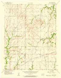 1957 Lebo NW1958 Print · USGSLyon County, Kansas, at the end of the fifties reveals a landscape shaped by the ATCHISON TOPEKA AND SANTA FE railroad and the Marais des Cygnes River. Genealogists can trace family roots through rural landmarks like Neosho Rapids and Arvonia Cem.3 unique versions available
 - 1961 Map of Lawrence
 1961 Lawrence1961 Print · USGSThe Kansas-Missouri borderland shows its mid-century transition from a rail-dependent agricultural region to a suburbanizing landscape. Genealogists can trace family footprints through numerous Cem sites and distinctive terrain landmarks like Graves Mound and Summers Mound.
 - 1985 Map of Garnett
 1985 Garnett1985 Print · USGSAnderson County and its neighbors in the mid-eighties show a landscape of rising reservoirs and enduring rail towns. Genealogists and historians can trace the transition from rail to highway at Beto Junction or locate heritage sites like Silkville and Neosho Rapids.
 - 1990 Map of Garnett
 1990 Garnett1990 Print · USGSEast-central Kansas was a landscape of major reservoirs and established rail towns during the 1990s. Genealogists and historians can trace the paths of the Missouri Pacific Railroad and the Atchison Topeka and Santa Fe Railway through towns like Garnett and Silkville.
 - 2009 Map of Lebo, 2009 Print
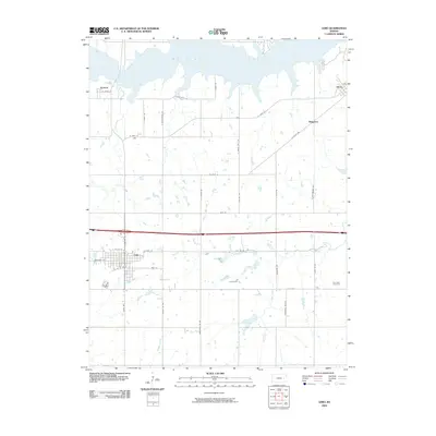 2009 Lebo2009 Print · USGSCoffey County's prairie landscape is defined by the expansive waters of Melvern Lake and the grid-work of rural townships in the early 2000s. Researchers can trace local history through the streets of Lebo or find family landmarks like the Key West Cemetery and the settlement of Arvonia.
 - 2009 Map of Lebo NW, 2009 Print
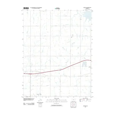 2009 Lebo NW2009 Print · USGSThe prairie landscape of Coffey County is shown here in the early twenty-first century as it surrounds the shores of Melvern Lake. Genealogists can locate several local burial sites including Arvonia Cemetery, Lincoln Cemetery, and Saint Lawrence Cemetery.
 - 2012 Map of Lebo, 2012 Print
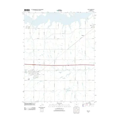 2012 Lebo2012 Print · USGSLebo and the surrounding Coffey County prairie are documented here in the early twenty-first century. Genealogists and local historians can trace family plots at Lincoln Cem and Key W Cem or locate homes in Arvonia and Olivet.
 - 2012 Map of Lebo NW, 2012 Print
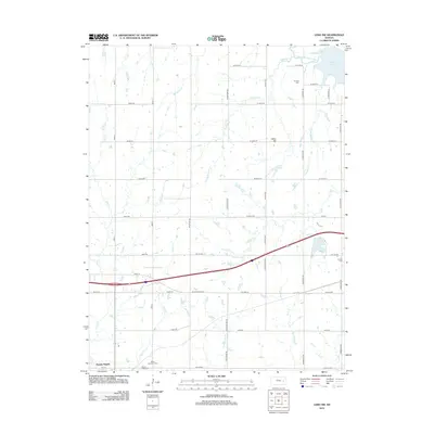 2012 Lebo NW2012 Print · USGSThe rural landscape around Neosho Rapids in the early twenty-first century reveals a grid of prairie roads and quiet river valleys. Genealogists can locate family landmarks like Saint Lawrence Cem or follow the waters of Puleston Cr and Melvern Lake.
 - 2015 Map of Lebo, 2015 Print
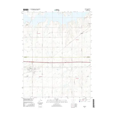 2015 Lebo2015 Print · USGSOsage and Coffey counties are shown here as they appeared in the early 2010s, centered on the grid of Lebo and the southern shores of Melvern Lake. Researchers can trace old property lines and rural landmarks like the Cem at Key West or the quiet settlement of Olivet.
 - 2015 Map of Lebo NW, 2015 Print
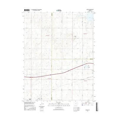 2015 Lebo NW2015 Print · USGSThe rural borders of Osage, Lyon, and Coffey counties are captured here in the mid-2010s, where the BNSF Railway meets the Marais des Cygnes River. Genealogists and historians can locate several local burial sites, such as Arvonia Cem and Lincoln Cem, alongside the residential streets of Lebo.
 - 2018 Map of Lebo NW, 2018 Print
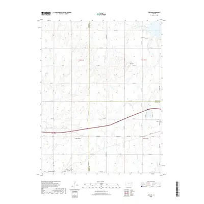 2018 Lebo NW2018 Print · USGSThe rural borders of Lyon, Osage, and Coffey counties come together here in the late 2010s near the Marais des Cygnes River. Researchers can locate several family and community landmarks, including Arvonia Cem, Lincoln Cem, and the quiet streets of Neosho Rapids.
 - 2018 Map of Lebo, 2018 Print
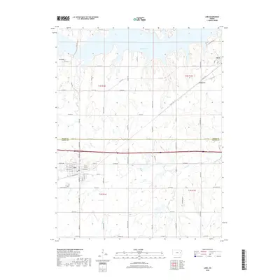 2018 Lebo2018 Print · USGSThe Kansas prairie meets the branching waters of Melvern Lake in the late 2010s. Genealogists and local historians can trace the streets of Lebo or locate the rural Key West Cem and the small settlements of Arvonia and Olivet.
 - 2022 Map of Lebo, 2022 Print
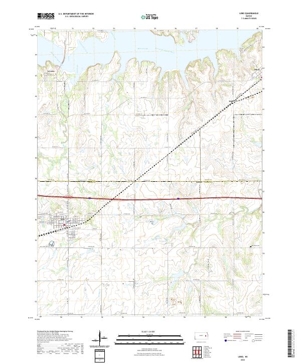 2022 Lebo2022 Print · USGSThe borderlands of Coffey and Osage Counties are captured here in the early twenty-first century, centered on the community of Lebo. Researchers can trace the legacy of local families through Lincoln Cem and explore the shoreline of Melvern Lake.
 - 2022 Map of Lebo NW, 2022 Print
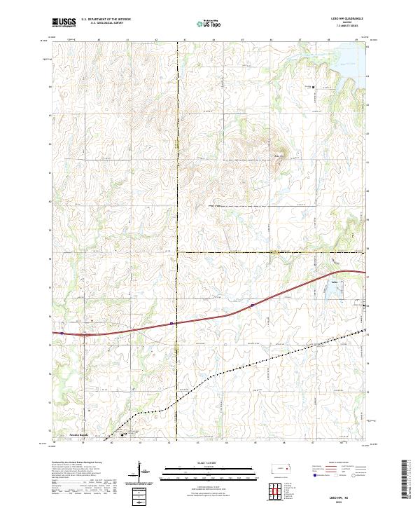 2022 Lebo NW2022 Print · USGSLyon County at the dawn of the 2020s shows a landscape defined by the western waters of Melvern Lake and the Marais des Cygnes River. Researchers can trace old family roots and community sites at Arvonia Cem, Mount Hope Cem, and the village of Neosho Rapids.
End of results
Showing maps 1-20 of 20
Top cities near Lebo
- Osage City historical maps
- Burlington historical maps
- Lyndon historical maps
- Ottumwa historical maps
- Hartford historical maps
- New Strawn historical maps
See more
Frequently asked questions
- What are the different types of historical maps available for Lebo?
- What is the oldest map of Lebo?
- Where can I purchase historical maps of Lebo for my home or office?
- Where can I download high-res historical maps of Lebo?
- Are there historical topographic maps available for Lebo?
- Is there historical aerial imagery available for Lebo?
- Where are historical maps of Lebo sourced from?