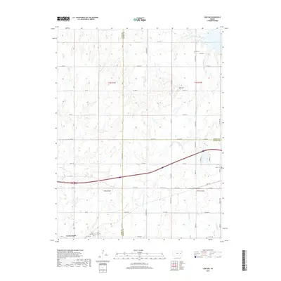
2018 Map of Lebo NW
USGS Topo · Published 2018About this map
The Marais des Cygnes River winds through the northeast corner of this Kansas landscape, feeding into the western reaches of Melvern Lake. This agricultural region at the intersection of Lyon, Osage, and Coffey counties is defined by a dense network of tributaries, including Troublesome Cr, Plum Cr, and Winnifred Cr, which drain into the river system. The settlement of Neosho Rapids anchors the southwest corner, while the surrounding countryside preserves several local heritage sites. Genealogists and local historians can find specifically named burial grounds such as Arvonia Cem, Lincoln Cem, Saint Lawrence Cem, and Mount Hope Cem. The topography is marked by modest elevations like Bebo Hill, with a rural road grid providing access to the various sections of these eastern Kansas townships.
Find a feature on this map
67 named features on this map. Tap any name to fly to it.
Don’t see what you’re looking for? This feature index may not catch every label — zoom into the map to look around manually.
Map Details
Editions of this 2018 Lebo NW Map
This is the sole edition of this map. No revisions or reprints were ever made.
Other maps of this area

1885 · Eskridge
USGS Topo · 1:125,000

1885 · Burlington
USGS Topo · 1:125,000

1888 · Emporia
USGS Topo · 1:125,000

1889 · Burlingame
USGS Topo · 1:125,000

1889 · Eskridge
USGS Topo · 1:125,000

1894 · Emporia
USGS Topo · 1:125,000

1894 · Eskridge
USGS Topo · 1:125,000

1894 · Burlingame
USGS Topo · 1:125,000

1894 · Burlington
USGS Topo · 1:125,000

1947 · Lawrence
USGS Topo · 1:250,000