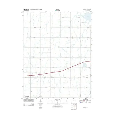
2012 Map of Lebo NW
USGS Topo · Published 2012About this map
Neosho Rapids sits in the southwestern corner of this survey, where the landscape is defined by the winding course of Plum Cr and the broader drainage toward the Neosho River basin. To the northeast, the Marais des Cygnes River feeds into the edge of Melvern Lake, creating a riparian corridor that contrasts with the surrounding agricultural grid. The map is a valuable resource for genealogists, documenting several rural burial grounds including Saint Lawrence Cem, Mount Hope Cem, Arvonia Cem, and Lincoln Cem. These sites, along with landmarks like Bebo Hill, serve as anchor points for the history of this portion of Coffey and Lyon counties. A network of section roads like Road X and S Davis RD provides structure to the prairie terrain, which is further dissected by numerous local waterways such as Puleston Cr and Winnifred Cr.
Find a feature on this map
51 named features on this map. Tap any name to fly to it.
Don’t see what you’re looking for? This feature index may not catch every label — zoom into the map to look around manually.
Map Details
Editions of this 2012 Lebo NW Map
This is the sole edition of this map. No revisions or reprints were ever made.
Other maps of this area

1885 · Eskridge
USGS Topo · 1:125,000

1885 · Burlington
USGS Topo · 1:125,000

1888 · Emporia
USGS Topo · 1:125,000

1889 · Burlingame
USGS Topo · 1:125,000

1889 · Eskridge
USGS Topo · 1:125,000

1894 · Emporia
USGS Topo · 1:125,000

1894 · Eskridge
USGS Topo · 1:125,000

1894 · Burlingame
USGS Topo · 1:125,000

1894 · Burlington
USGS Topo · 1:125,000

1947 · Lawrence
USGS Topo · 1:250,000