Old Maps of Udall, Kansas for Metal Detecting
Plan your next treasure hunt with 16 historic maps of Udall. Find old homesites, ghost towns, trails, and gathering spots that may be lost to time — perfect for identifying promising metal detecting locations.
- Locate forgotten sites: Uncover places like long-lost settlements, abandoned rail lines, or gathering spots.
- Plan better hunts: Use map overlays combined with LiDAR or satellite views to narrow in on historically rich areas.
- Made for detectorists: Thousands of hobbyists use these maps to discover relics, coins, and hidden history.
Use these historic maps to boost your research and find new opportunities beneath the surface of Udall.
Udall, KS maps
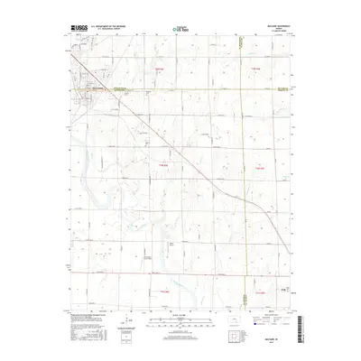
(16)- 1890 Map of Wellington
 1890 Wellington1890 Print · USGSSumner and Cowley counties are captured here in the late nineteenth century as a dense network of railroads and river towns transformed the Kansas prairie. Genealogists and historians can trace the early layouts of Wellington, Oxford, and Geuda Springs before the turn of the century.6 unique versions available
 - 1955 Map of Udall, 1956 Print
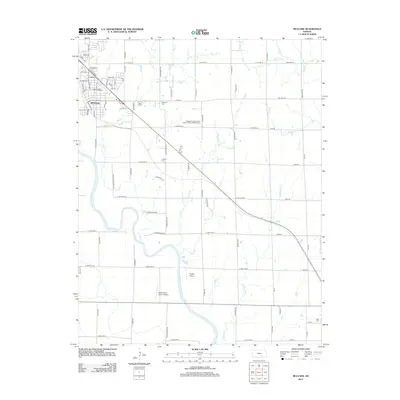
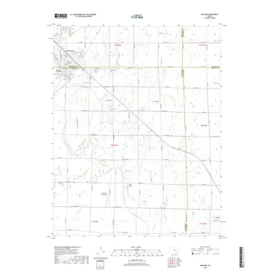
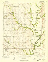 1955 Udall1956 Print · USGSCowley County in the mid-fifties is a landscape of river bends and rural crossroads during a time of active petroleum exploration and rail travel. Researchers can locate country schools like Red Bud Sch, the tracks of the Atchison Topeka and Santa Fe, and the Old Indian Boundary.2 unique versions available
 - 1955 Map of Mulvane, 1956 Print
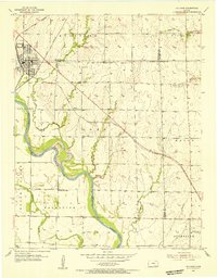 1955 Mulvane1956 Print · USGSThe rail-and-river landscape surrounding mid-century Mulvane is captured here at the intersection of four Kansas counties. Researchers can trace the original Atchison Topeka and Santa Fe corridor and locate local landmarks like Littleton Cem and Central Sch.
 - 1955 Map of Wichita, 1959 Print
 1955 Wichita1959 Print · USGSSouth-central Kansas comes alive in the mid-1950s as Wichita grows into its role as a regional industrial and military powerhouse. Trace the rail-and-river network connecting El Dorado and Arkansas City through the Atchison Topeka and Santa Fe lines.3 unique versions available
 - 1958 Map of Wichita
 1958 Wichita1958 Print · USGSSouth Central Kansas in the late fifties was a landscape of aviation industry, oil exploration, and expanding turnpikes. Researchers can trace mid-century growth through McConnell Air Force Base, major facilities for Cessna Aircraft Company, and the active El Dorado Oil Field.
 - 1985 Map of Wellington
 1985 Wellington1985 Print · USGSSouthern Kansas in the mid-eighties reveals a landscape shaped by historical lines and rail commerce, from Wellington to the Arkansas River. Researchers can trace the Old Indian Treaty Boundary and locate family sites near Prairie Lawn Cem or Bluff City.2 unique versions available
 - 2010 Map of Udall, 2010 Print
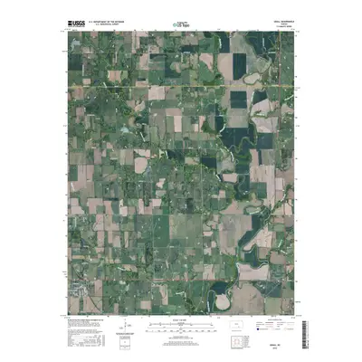
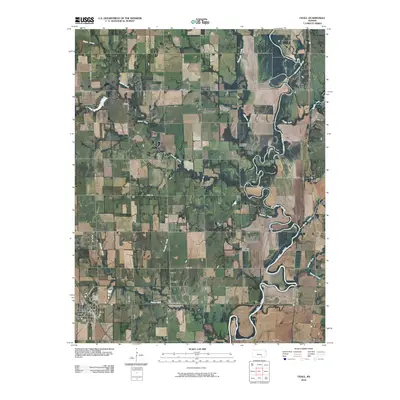 2010 Udall2010 Print · USGSCovers Udall, including Rock, Butler County, and other nearby areas
 - 2010 Map of Mulvane, 2010 Print
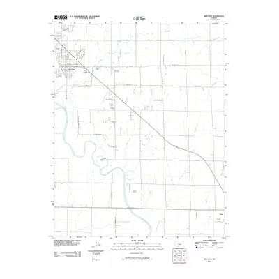 2010 Mulvane2010 Print · USGSCovers Udall, including Mulvane, Sedgwick County, and other nearby areas
 - 2012 Map of Mulvane, 2012 Print
 2012 Mulvane2012 Print · USGSCovers Udall, including Mulvane, Sedgwick County, and other nearby areas
 - 2012 Map of Udall, 2012 Print
 2012 Udall2012 Print · USGSCovers Udall, including Rock, Butler County, and other nearby areas
 - 2015 Map of Mulvane, 2015 Print
 2015 Mulvane2015 Print · USGSCovers Udall, including Mulvane, Sedgwick County, and other nearby areas
 - 2015 Map of Udall, 2015 Print
 2015 Udall2015 Print · USGSCovers Udall, including Rock, Butler County, and other nearby areas
 - 2018 Map of Udall, 2018 Print
 2018 Udall2018 Print · USGSCovers Udall, including Rock, Butler County, and other nearby areas
 - 2018 Map of Mulvane, 2018 Print
 2018 Mulvane2018 Print · USGSCovers Udall, including Mulvane, Sedgwick County, and other nearby areas
 - 2022 Map of Udall, 2022 Print
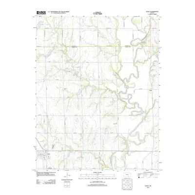
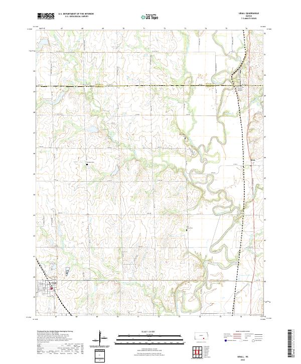 2022 Udall2022 Print · USGSUdall and the north Cowley County prairies appear here in the early twenty-first century, anchored by the meandering Walnut River. Researchers can trace local history through features like Red Bud Cem, the settlement of Rock, and the Pilot Pointe Estates Airport.
 - 2022 Map of Mulvane, 2022 Print
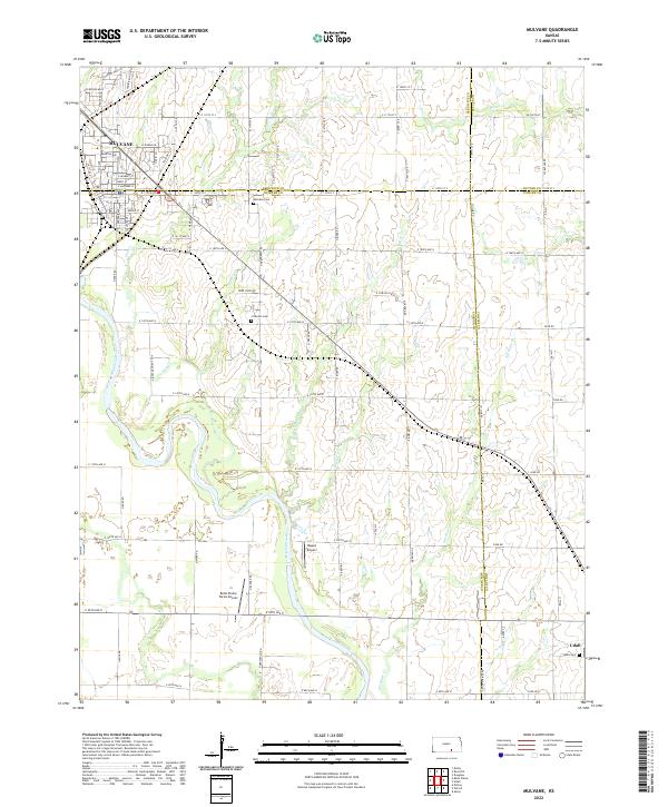 2022 Mulvane2022 Print · USGSThe Arkansas River valley near the Sumner and Cowley county lines is shown here in the early twenty-first century. Genealogists and local historians can trace family locations near Mulvane Cem, Littleton Cem, and the rural settlement of Udall.
End of results
Showing maps 1-16 of 16
Top cities near Udall
- Wichita historical maps
- Derby historical maps
- Winfield historical maps
- Haysville historical maps
- Mulvane historical maps
- Rose Hill historical maps
See more
Frequently asked questions
- What are the different types of historical maps available for Udall?
- What is the oldest map of Udall?
- Where can I purchase historical maps of Udall for my home or office?
- Where can I download high-res historical maps of Udall?
- Are there historical topographic maps available for Udall?
- Is there historical aerial imagery available for Udall?
- Where are historical maps of Udall sourced from?