Old Maps of Hays, Kansas for Metal Detecting
Plan your next treasure hunt with 17 historic maps of Hays. Find old homesites, ghost towns, trails, and gathering spots that may be lost to time — perfect for identifying promising metal detecting locations.
- Locate forgotten sites: Uncover places like long-lost settlements, abandoned rail lines, or gathering spots.
- Plan better hunts: Use map overlays combined with LiDAR or satellite views to narrow in on historically rich areas.
- Made for detectorists: Thousands of hobbyists use these maps to discover relics, coins, and hidden history.
Use these historic maps to boost your research and find new opportunities beneath the surface of Hays.
Hays, KS maps
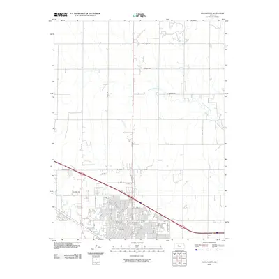
(17)- 1896 Map of Hays
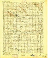 1896 Hays1896 Print · USGSThe High Plains of central Kansas thrive in the 1890s as twin railroad corridors fuel the growth of new townships and farming communities. Genealogists can trace family roots through early settlements like Catharine, Munjor, and Liebenthal or locate family homesteads along the Union Pacific R. R. and Smoky Hill River.5 unique versions available
 - 1955 Map of Great Bend, 1966 Print
 1955 Great Bend1966 Print · USGSCentral Kansas during the mid-sixties transition reveals a landscape defined by new reservoirs and enduring rail corridors. Researchers can trace the development of towns like Hays and Great Bend or locate natural landmarks such as Round Mound and the wetlands of the Quivira National Wildlife Refuge.3 unique versions available
 - 1957 Map of Great Bend
 1957 Great Bend1957 Print · USGSCentral Kansas at the peak of the postwar era shows a landscape of growing rail hubs and massive new water projects. Trace the routes of the Union Pacific through Hays or locate the newly formed shorelines of Cedar Bluff Reservoir and Kanopolis Reservoir.
 - 1958 Map of Great Bend
 1958 Great Bend1958 Print · USGSCentral Kansas in the late fifties reveals a landscape of high-plains agriculture and vital river crossings. Researchers can trace the development of regional hubs like Hays and Russell, or locate historic sites such as Fort Larned and the Cheyenne Bottoms wildlife area.2 unique versions available
 - 1961 Map of Hays South, 1962 Print
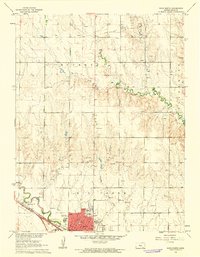
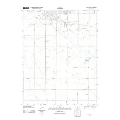
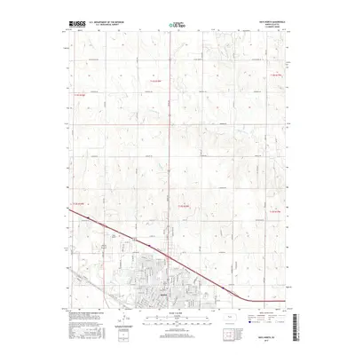
 1961 Hays South1962 Print · USGSThe southern outskirts of Hays and the village of Munjor are captured here during the early sixties. Researchers can trace the development of Fort Hays State College or locate numerous Oil Wells and landmarks like the Old Fort Hays Museum.3 unique versions available
 - 1961 Map of Hays North, 1962 Print
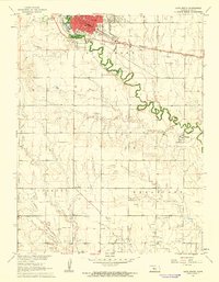
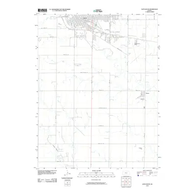
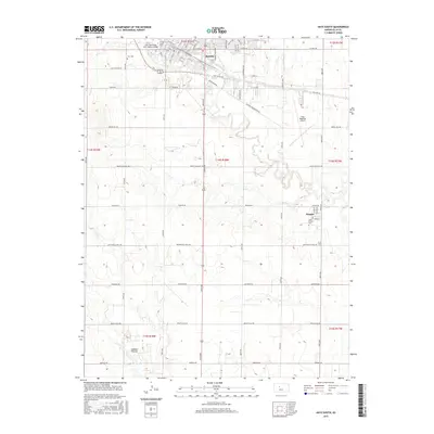
 1961 Hays North1962 Print · USGSHays was a bustling hub of education and industry in the early sixties, centered on the Union Pacific rail line. Researchers can trace the mid-century footprints of Fort Hays State College, find family plots at St Joseph Cem, or locate dozens of local quarries.3 unique versions available
 - 1985 Map of Hays
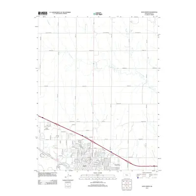
 1985 Hays1985 Print · USGSCentral Kansas in the mid-eighties shows a landscape of river-valley farming and emerging energy production. Trace the route of the Butterfield Overland Despatch Trail or locate family roots in Hays, Liebenthal, or Schoenchen.2 unique versions available
 - 2010 Map of Hays North, 2010 Print
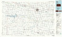
 2010 Hays North2010 Print · USGSCovers Hays, including Ellis County, United States, and other nearby areas
 - 2010 Map of Hays South, 2010 Print
 2010 Hays South2010 Print · USGSCovers Hays, including Munjor, Ellis County, and other nearby areas
 - 2012 Map of Hays South, 2012 Print
 2012 Hays South2012 Print · USGSCovers Hays, including Munjor, Ellis County, and other nearby areas
 - 2012 Map of Hays North, 2012 Print
 2012 Hays North2012 Print · USGSCovers Hays, including Ellis County, United States, and other nearby areas
 - 2015 Map of Hays North, 2015 Print
 2015 Hays North2015 Print · USGSCovers Hays, including Ellis County, United States, and other nearby areas
 - 2015 Map of Hays South, 2015 Print
 2015 Hays South2015 Print · USGSCovers Hays, including Munjor, Ellis County, and other nearby areas
 - 2018 Map of Hays North, 2018 Print
 2018 Hays North2018 Print · USGSCovers Hays, including Ellis County, United States, and other nearby areas
 - 2018 Map of Hays South, 2018 Print
 2018 Hays South2018 Print · USGSCovers Hays, including Munjor, Ellis County, and other nearby areas
 - 2022 Map of Hays North, 2022 Print
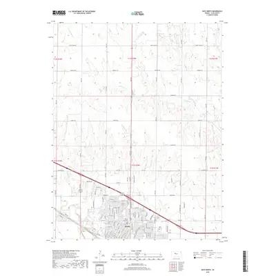
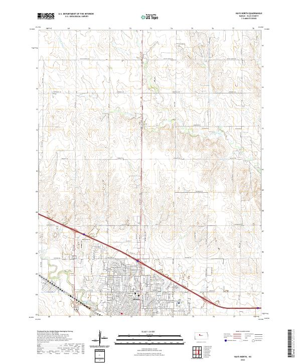 2022 Hays North2022 Print · USGSThe northern edge of Hays and its surrounding prairie landscapes come into focus in this contemporary survey of Ellis County. Local researchers can precisely locate Mount Allen Cem, Saint Joseph Cem, and the path of Chetolah Cr.
 - 2022 Map of Hays South, 2022 Print
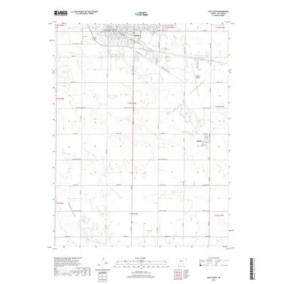
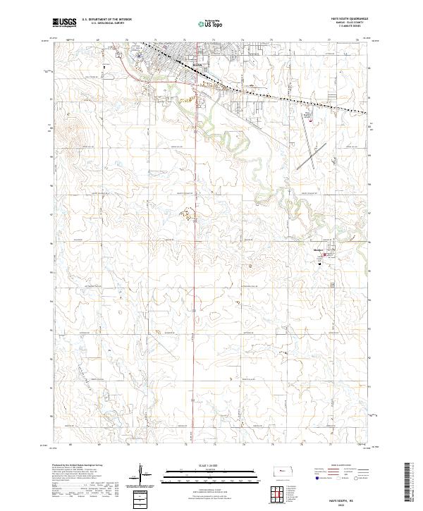 2022 Hays South2022 Print · USGSThe southern outskirts of Hays and the plains of Ellis County are captured here in the early twenty-first century. Genealogists and local historians can locate Munjor, the Fort Cem, and historical routes like Butterfield Trail Rd.
End of results
Showing maps 1-17 of 17
Top cities near Hays
Frequently asked questions
- What are the different types of historical maps available for Hays?
- What is the oldest map of Hays?
- Where can I purchase historical maps of Hays for my home or office?
- Where can I download high-res historical maps of Hays?
- Are there historical topographic maps available for Hays?
- Is there historical aerial imagery available for Hays?
- Where are historical maps of Hays sourced from?