2000-2009 Maps of Finney County, Kansas
Explore 34 historic maps of Finney County from 2000-2009. These maps offer a rare glimpse into what life looked like during the 2000s — showing old roads, neighborhoods, homes, and landmarks that have changed or disappeared over time.
Whether you're researching your family's past, planning a metal detecting trip, or studying how Finney County's landscape evolved across the 2000s, these high-resolution maps are a powerful tool for exploring the history of this region.
- Focus on a specific era: All maps on this page are from the 2000s, giving you a focused view of this time period.
- See what’s changed: Compare century-old streets, trails, and buildings to today's modern landscape using overlays and satellite layers.
- Research with precision: Use these maps for genealogy, historical research, land use analysis, or educational projects.
- View, download, or print: Maps are fully viewable online in high resolution, and can be downloaded or printed for your own records.
Start exploring Finney County's history through authentic maps from the 2000s. This is your window into the past.
Finney County, KS maps
(34)- 2009 Map of Hickok NE, 2009 Print
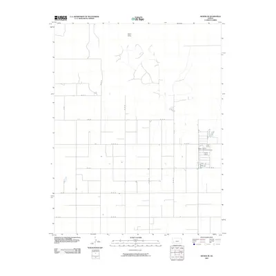 2009 Hickok NE2009 Print · USGSSherman Township in western Kansas reveals a landscape defined by industrial agriculture and energy extraction during the early twenty-first century. Researchers can trace the section-line road grid and locate the Master Feeders Eleven Incoporated Airport and the Pleasant Prairie Oil Field.
 - 2009 Map of Dighton SW, 2009 Print
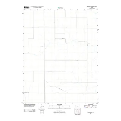 2009 Dighton SW2009 Print · USGSWestern Kansas rangelands and prairie drainages are meticulously documented in this early twenty-first-century survey of northern Finney County. Researchers can trace the section-line roads and seasonal watercourses like Hackberry Creek and Spring Creek as they cross State Hwy 23.
 - 2009 Map of Horse Thief Canyon SW, 2009 Print
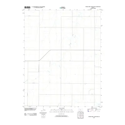 2009 Horse Thief Canyon SW2009 Print · USGSFinney County in the early twenty-first century remains a landscape of sprawling plains and organized transit. Genealogists and local historians can trace the paths of Sand Creek and the rural boundary established by Finney-Hodgeman County Line Rd.
 - 2009 Map of Amy SW, 2009 Print
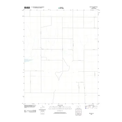 2009 Amy SW2009 Print · USGSFinney County’s rural grid is captured here during the first decade of the millennium, showing a landscape defined by dry basins and section-line roads. Genealogists and historians can trace property boundaries along Lane Scott, Bison Rd, and near the natural landmark of Dry Lake.
 - 2009 Map of Modoc SE, 2009 Print
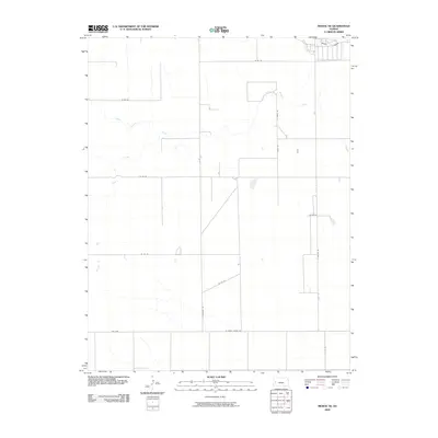 2009 Modoc SE2009 Print · USGSFinney County, Kansas, is captured here in the early 21st century, showing the organized grid of the high plains. You can trace the drainage of White Woman Creek and Sand Creek among rural thoroughfares like S Cherokee Rd.
 - 2009 Map of Beeler SW, 2009 Print
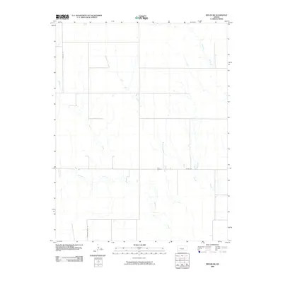 2009 Beeler SW2009 Print · USGSFinney County’s high plains and seasonal creek beds are documented here in the early 2000s. Genealogists and local researchers can pinpoint Buda Cemetery and trace the paths of Plum Creek and Hackberry Creek across the section-line road grid.
 - 2009 Map of Deerfield NE, 2009 Print
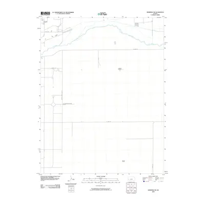 2009 Deerfield NE2009 Print · USGSFinney County ranch lands and the High Plains river valley are captured here at the start of the 21st century. Researchers can locate family landmarks like the Deer Field Cemetery or trace agricultural footprints at the Brown Ranch.
 - 2009 Map of Pierceville SW, 2009 Print
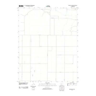 2009 Pierceville SW2009 Print · USGSFinney County’s high plains are captured here in the early 2000s, showcasing the rigid township and range grid that defines western Kansas. Genealogists can trace family-named routes and rural intersections like Annie Sheer Rd, S Pierceville Rd, and the Arkansas River corridor.
 - 2009 Map of Tennis, 2009 Print
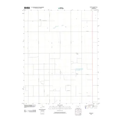 2009 Tennis2009 Print · USGSFinney County, Kansas, is captured in the early twenty-first century as a landscape of grid-patterned agriculture and prairie outposts. Researchers can trace rural property access and small-town centers like Tennis and Gano or locate landmarks such as Crist Airport.
 - 2009 Map of Wild Horse Lake, 2009 Print
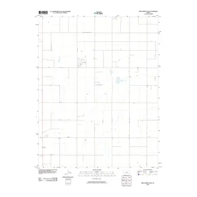 2009 Wild Horse Lake2009 Print · USGSFinney County agricultural lands are captured here at the end of the first decade of the new millennium. Researchers can locate family landmarks like Ivanhoe Cemetery or trace the geography of local water bodies such as Wild Horse Lake.
 - 2009 Map of Tennis NE, 2009 Print
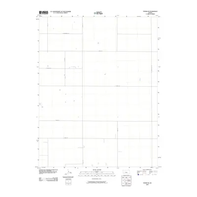 2009 Tennis NE2009 Print · USGSFinney County, Kansas, is captured in the late 2000s as a structured agricultural grid of section lines and prairie roads. Genealogists and local historians can trace family land and rural homesteads along Shoupe Rd, E Tennis Rd, and Towns Rd.
 - 2009 Map of Wolf NE, 2009 Print
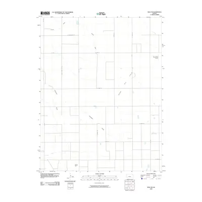 2009 Wolf NE2009 Print · USGSFinney County oil production and agricultural aviation take center stage in this early 21st-century survey of the Kansas plains. Researchers can trace the layout of the Nunn Oil Field or locate rural infrastructure like the R J C Farms Incorporated Airport.
 - 2009 Map of Dighton SE, 2009 Print
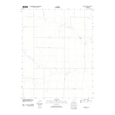 2009 Dighton SE2009 Print · USGSFinney County, Kansas, is captured in the early 2000s, showcasing a landscape of high plains agriculture and drainage. Genealogists and local historians can locate Thomas Cemetery and trace the paths of Spring Creek and Hackberry Creek.
 - 2009 Map of Deerfield SE, 2009 Print
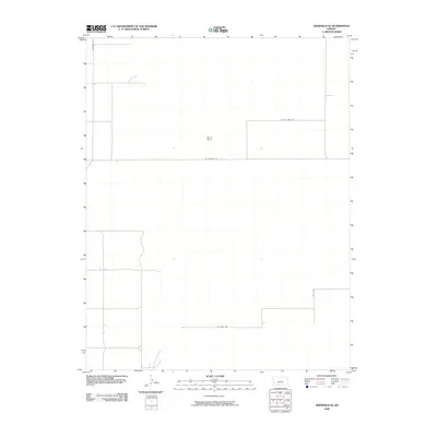 2009 Deerfield SE2009 Print · USGSFinney County ranching and the rigid geometry of the High Plains are captured here in the late 2000s. Genealogists and land researchers can trace property access via Deerfield Ln or locate the sprawling grounds of Reeve Ranch.
 - 2009 Map of Lowe, 2009 Print
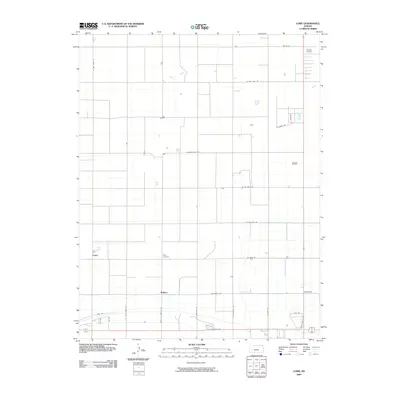 2009 Lowe2009 Print · USGSFinney County agriculture is on full display in this 2000s survey of the Kansas plains. Genealogists and local historians can locate Toper Cemetery and trace the rural settlements of Rodkey and Lowe among the irrigation channels of the Farmers Ditch.
 - 2009 Map of Pierceville, 2009 Print
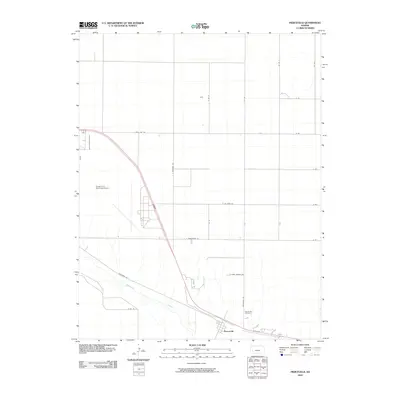 2009 Pierceville2009 Print · USGSFinney County agricultural lands meet modern aviation in this early 21st-century survey. Genealogists and local historians can trace the town of Pierceville, locate family plots at Pierceville Cemetery, and explore the layout of the Garden City Municipal Airport.
 - 2009 Map of South of Eminence Cemetery, 2009 Print
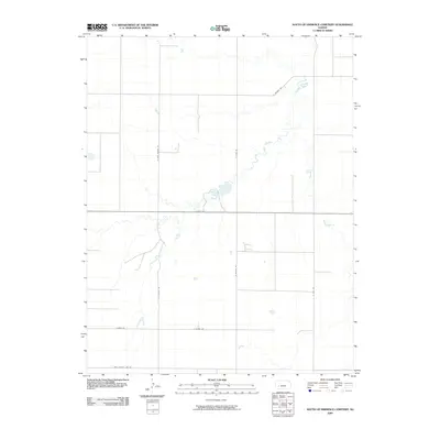 2009 South of Eminence Cemetery2009 Print · USGSFinney County's open plains are captured here in the early 2000s, showing the intersection of the Pawnee River and the rural road grid. Researchers can trace land boundaries and local routes like E Kansas Ave and Algrim Rd.
 - 2009 Map of Wolf, 2009 Print
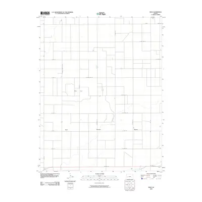 2009 Wolf2009 Print · USGSFinney County agricultural life at the end of the first decade of the millennium is marked by its expansive irrigation networks and grid-road settlements. Researchers can trace the paths of the Great Eastern Ditch and local rural hubs like Wolf and Ritchal.
 - 2009 Map of Copeland NW, 2009 Print
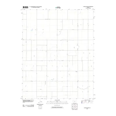 2009 Copeland NW2009 Print · USGSFinney County, Kansas, is shown here in the early 2000s as a structured landscape of high plains agriculture and rural settlement. Genealogists and local historians can locate the Colusa Cemetery and trace the grid of section-line routes like Haskell County Line Rd and Tice St.
 - 2009 Map of Garden City SW, 2009 Print
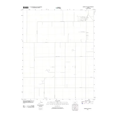 2009 Garden City SW2009 Print · USGSFinney County, Kansas, is shown here as a strictly ordered agricultural landscape in the late 2000s. Researchers can trace the local road network and family-named routes such as Plymell Church Rd, W Pete Smith Rd, and Annie Scheer Rd.
 - 2009 Map of Amy SE, 2009 Print
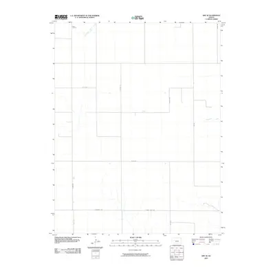 2009 Amy SE2009 Print · USGSFinney County’s rural expanse is captured here in the early 2000s, showcasing the structured agricultural landscape of the High Plains. Genealogists and local historians can locate Sutton Cemetery and trace the paths of South Fork Walnut Creek and Frontier Rd.
 - 2009 Map of Kalvesta SW, 2009 Print
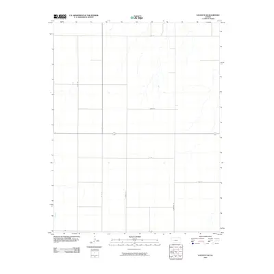 2009 Kalvesta SW2009 Print · USGSFinney County in the early twenty-first century is captured here as a sprawling grid of rural section roads and ephemeral prairie drainages. Genealogists and local historians can trace specific land tracts and property access via N Ingalls Rd, E Bell Rd, and N Rd 36.
 - 2009 Map of Pawnee Mound, 2009 Print
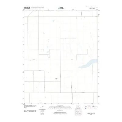 2009 Pawnee Mound2009 Print · USGSFinney County’s high plains are mapped here in the late 2000s, showing the intersection of agricultural road networks and natural landmarks. Researchers can trace the perimeter of Dry Lake or locate the elevation at Pawnee Mound near S Quivira Rd.
 - 2009 Map of West of Wild Horse Lake, 2009 Print
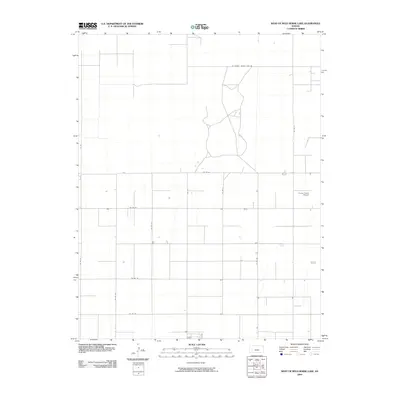 2009 West of Wild Horse Lake2009 Print · USGSFinney County agricultural lands at the turn of the millennium show a landscape defined by industrial-scale farming and aviation. Trace rural property boundaries and infrastructure along Co Rd 50 and locate the Currey Farms Airport.
 - 2009 Map of Kalvesta, 2009 Print
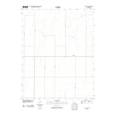 2009 Kalvesta2009 Print · USGSKalvesta and the surrounding Finney County plains are captured here in the early twenty-first century, showing the rural grid of western Kansas. Researchers can trace the path of local corridors like N Zeim Grade Rd and Renstrom Rd as they converge near Kalvesta.
Showing maps 1-25 of 34
Top cities of Finney County
Frequently asked questions
- What are the different types of historical maps available for Finney County?
- What is the oldest map of Finney County?
- Where can I purchase historical maps of Finney County for my home or office?
- Where can I download high-res historical maps of Finney County?
- Are there historical topographic maps available for Finney County?
- Is there historical aerial imagery available for Finney County?
- Where are historical maps of Finney County sourced from?