1970s Maps of Finney County, Kansas
Explore 22 historic maps of Finney County from the 1970s. These maps offer a rare glimpse into what life looked like during the 1970s — showing old roads, neighborhoods, homes, and landmarks that have changed or disappeared over time.
Whether you're researching your family's past, planning a metal detecting trip, or studying how Finney County's landscape evolved across the 1970s, these high-resolution maps are a powerful tool for exploring the history of this region.
- Focus on a specific era: All maps on this page are from the 1970s, giving you a focused view of this time period.
- See what’s changed: Compare century-old streets, trails, and buildings to today's modern landscape using overlays and satellite layers.
- Research with precision: Use these maps for genealogy, historical research, land use analysis, or educational projects.
- View, download, or print: Maps are fully viewable online in high resolution, and can be downloaded or printed for your own records.
Start exploring Finney County's history through authentic maps from the 1970s. This is your window into the past.
Finney County, KS maps
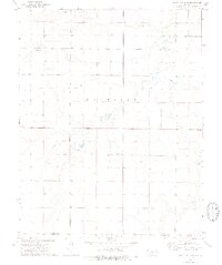
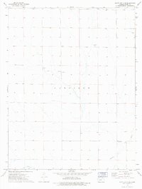
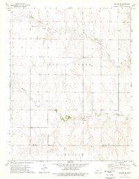
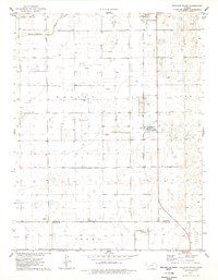
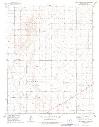
(22)- 1974 Map of Ravanna, 1976 Print
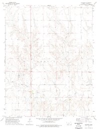 1974 Ravanna1976 Print · USGSFinney County in the mid-seventies preserves the location of a former county seat and the early infrastructure of the plains. Genealogists and local historians can trace the Ravanna (Old Site), find the Garfield Cem, and locate historic river crossings like Fords.
 - 1974 Map of Horse Thief Canyon SW, 1976 Print
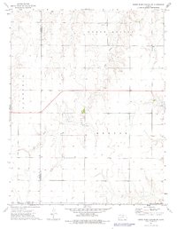 1974 Horse Thief Canyon SW1976 Print · USGSWestern Kansas at the height of the 1970s reveals a quiet landscape of prairie townships and resource extraction. Researchers can trace land use through a network of Gravel Pits and wells located near Sand Creek and North Roscoe.
 - 1974 Map of Kalvesta, 1976 Print
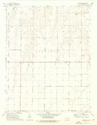 1974 Kalvesta1976 Print · USGSFinney and Gray counties are documented here in the mid-1970s, showcasing a rural landscape defined by prairie crossroads and seasonal waterways. Genealogists and historians can trace local landmarks like Kalvesta, the extraction at Caliche Pit, and the course of Sand Creek.
 - 1974 Map of Scott City 4 SW, 1976 Print
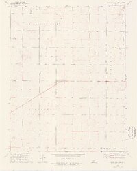 1974 Scott City 4 SW1976 Print · USGSFinney and Gray counties in the mid-1970s reveal a landscape of sparse prairie and growing energy extraction. Researchers can trace the layout of Pleasant Valley and Pierceville townships, punctuated by an Oil Field and scattered Gas Wells.2 unique versions available
 - 1974 Map of Scott City 4 SE, 1976 Print
 1974 Scott City 4 SE1976 Print · USGSThe high plains of western Kansas are captured here during the mid-1970s, showing the rural landscape along the Pawnee River. Genealogists and local researchers can locate the Theoni Sch and numerous water sources such as a Spring and several Wells.2 unique versions available
 - 1974 Map of Scott City 4 NW, 1976 Print
 1974 Scott City 4 NW1976 Print · USGSFinney County, Kansas, in the mid-1970s reveals a landscape of industrial extraction and high plains agriculture. Researchers can trace the development of energy resources through numerous Gas Wells, an early Drill Hole, and a local Gravel Pit.2 unique versions available
 - 1974 Map of Dighton SW, 1976 Print
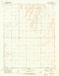
 1974 Dighton SW1976 Print · USGSWestern Kansas townships in Lane and Finney Counties are documented here during the mid-seventies, showing the rural landscape before modern agricultural shifts. Researchers can locate the small Cem, a historic Ford, and the winding paths of Hackberry Creek and Spring Creek.
 - 1974 Map of Amy SE, 1976 Print
 1974 Amy SE1976 Print · USGSThe high plains of Lane and Finney counties are captured in the mid-1970s, showcasing a landscape of section-line roads and ephemeral creek beds. Genealogists and local historians can locate the Sutton Cem, the local Townhall, and excavation sites like the Caliche Pits.
 - 1974 Map of Scott City 4 NE, 1976 Print
 1974 Scott City 4 NE1976 Print · USGSFinney County in the mid-1970s reveals a rural Kansas landscape centered on the GARFIELD township and the Pawnee River. Genealogists and local historians can locate the Eminence Cem and trace the sites of local Caliche Pits and Springs.3 unique versions available
 - 1974 Map of Amy SW, 1976 Print
 1974 Amy SW1976 Print · USGSWestern Kansas at the start of the seventies reveals a landscape of high-plains agriculture and mineral extraction across the borders of three counties. Genealogists and historians can trace the rural layout of Pleasant Valley or locate local landmarks like Dry Lake and the Caliche Pits.
 - 1974 Map of Hay Canyon, 1976 Print
 1974 Hay Canyon1976 Print · USGSFinney County's river-fed canyons are captured in the mid-1970s as the regional landscape was managed for conservation and ranching. Researchers can trace land use at the Finney State Game Management Area or locate the Caliche Pit and State Lake.
 - 1974 Map of Beeler SW, 1976 Print
 1974 Beeler SW1976 Print · USGSNess County and the surrounding High Plains are captured here in the mid-1970s at the meeting point of four different counties. Researchers can locate the Buda Cem and Buda Community Hall or trace drainages like Plum Creek and Hackberry Creek.
 - 1974 Map of Dighton SE, 1976 Print
 1974 Dighton SE1976 Print · USGSLane and Finney counties meet in this mid-1970s survey of the Kansas High Plains, where the terrain is dominated by winding creek beds and open rangeland. Researchers can locate specific local landmarks like Thomas Cem and various Caliche Pits scattered along Spring Creek.
 - 1974 Map of Kalvesta SW, 1976 Print
 1974 Kalvesta SW1976 Print · USGSFinney and Gray Counties during the mid-1970s show a landscape of quiet utility where the High Plains meet the Pawnee River. Researchers can trace the path of a cross-country Pipeline or locate local landmarks like Bond and the Pawnee Acres Community Hall.
 - 1974 Map of Horse Thief Canyon NW, 1976 Print
 1974 Horse Thief Canyon NW1976 Print · USGSWestern Kansas prairie life is captured here in the mid-seventies, showing the agricultural landscape at the border of Finney and Hodgeman counties. Researchers can locate the Kitterville Community Hall and Kitterville Cem along the banks of the Pawnee River.
 - 1976 Map of Lowe, 1978 Print
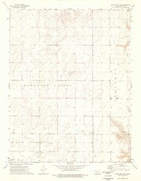
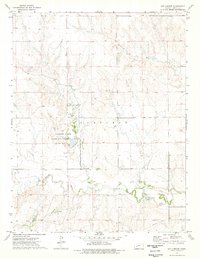
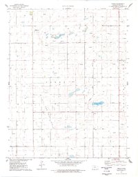
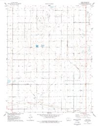 1976 Lowe1978 Print · USGSFinney County in the mid-seventies shows a landscape of intensive land use, from energy extraction to irrigated ranching. Researchers can locate specific sites like the Toper Cem, the rail stop at Lowe, and the localized geography of Ackley Lake and Pleasant Valley.
 - 1976 Map of Modoc SE, 1978 Print
 1976 Modoc SE1978 Print · USGSWestern Kansas land use comes into focus in the mid-1970s, showing a landscape defined by watercourses and energy infrastructure. Researchers can trace the path of White Woman Creek or locate local landmarks like East Hibbard and the regional Oil Field.
 - 1976 Map of Shallow Water, 1978 Print
 1976 Shallow Water1978 Print · USGSWestern Kansas during the mid-seventies shows a landscape of high-plains agriculture and rising energy production. Genealogists and local historians can trace the rural infrastructure of Shallow Water and Friend, from the Prairie View Ch to the industrial Refinery and sprawling Oil Field.
 - 1976 Map of Tennis, 1978 Print
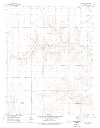
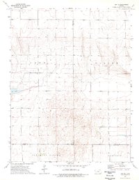
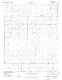
 1976 Tennis1978 Print · USGSFinney County in the mid-seventies is a landscape of high plains energy production and rail heritage. Trace the path of the Atchison Topeka and Santa Fe through Tennis and Gano, alongside numerous extraction sites in the Oil and Gas Field.
 - 1976 Map of Pawnee Mound, 1978 Print
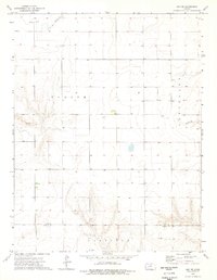
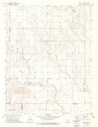
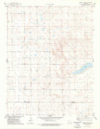 1976 Pawnee Mound1978 Print · USGSWestern Kansas at the end of the seventies reveals a landscape of high-plains relief and seasonal basins. Researchers can trace the boundary between Scott Co and Finney Co while locating landmarks like Pawnee Mound and the basin of Dry Lake.
 - 1976 Map of Tennis NE, 1978 Print
 1976 Tennis NE1978 Print · USGSFinney County in the mid-1970s reveals a landscape transitioning into a major energy producer. Researchers can trace the early industrial footprint of the region through the grid of a Gas Well and numerous Well sites located throughout Pleasant Valley.
 - 1976 Map of White Woman Bottoms, 1978 Print
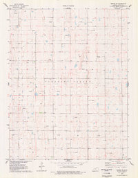
 1976 White Woman Bottoms1978 Print · USGSFinney County in the mid-seventies shows a landscape of high-plains agriculture and water management. You can trace family-named sites like the Hulpieu Homestead or the Barker Sch and see infrastructure like the Farmers Ditch.
End of results
Showing maps 1-22 of 22
Top cities of Finney County
Frequently asked questions
- What are the different types of historical maps available for Finney County?
- What is the oldest map of Finney County?
- Where can I purchase historical maps of Finney County for my home or office?
- Where can I download high-res historical maps of Finney County?
- Are there historical topographic maps available for Finney County?
- Is there historical aerial imagery available for Finney County?
- Where are historical maps of Finney County sourced from?