
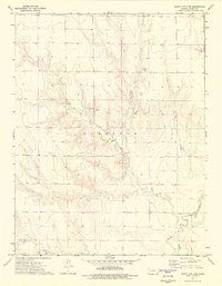
1974 Map of Scott City 4 NE
USGS Topo · Published 1976About this map
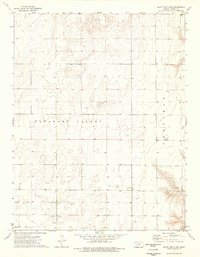
The Garfield township area of Finney County is defined by its intermittent water sources and the path of the Pawnee River. In the mid-1970s, this landscape was characterized by a scattered network of agricultural infrastructure, including a landmark simply noted as Wells and several groundwater outlets labeled as Spring and Springs. The presence of Caliche Pits and a Caliche Pit indicates the importance of local mineral extraction for road surfacing and construction in this High Plains environment.
Find a feature on this map
8 named features on this map. Tap any name to fly to it.
Don’t see what you’re looking for? This feature index may not catch every label — zoom into the map to look around manually.
Map Details
Editions of this 1974 Scott City 4 NE Map
3 editions found
Other maps of this area

1955 · Scott City
USGS Topo · 1:250,000

1958 · Scott City
USGS Topo · 1:250,000

1974 · Ravanna
USGS Topo · 1:24,000
1974 · Scott City 4 SW
USGS Topo · 1:24,000
1974 · Scott City 4 SE
USGS Topo · 1:24,000
1974 · Scott City 4 NW
USGS Topo · 1:24,000

1974 · Dighton SW
USGS Topo · 1:24,000

1974 · Amy SE
USGS Topo · 1:24,000

1974 · Amy SW
USGS Topo · 1:24,000
1974 · Kalvesta SW
USGS Topo · 1:24,000