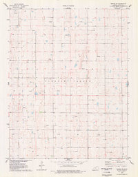
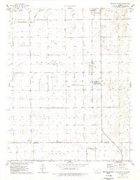
1976 Map of Tennis NE
USGS Topo · Published 1978About this map
Pleasant Valley defines the topography of this western Kansas landscape, where the prairie is meticulously sectioned for resource extraction. During the mid-1970s, this portion of Finney County became a grid of energy production, as evidenced by the proliferation of the Gas Well and smaller Well sites scattered across nearly every square mile. The natural drainage of the valley is punctuated by numerous small depressions and basins, a characteristic geological feature of the High Plains. This survey provides a precise record of the infrastructure required to tap into the underlying natural gas reserves, showing the placement of access roads and individual wellheads during a period of significant regional industrial development.
Find a feature on this map
3 named features on this map. Tap any name to fly to it.
Don’t see what you’re looking for? This feature index may not catch every label — zoom into the map to look around manually.
Map Details
Editions of this 1976 Tennis NE Map
This is the sole edition of this map. No revisions or reprints were ever made.
Other maps of this area

1940 · Scott City
USGS Topo · 1:62,500

1944 · Tennis
USGS Topo · 1:62,500

1951 · Scott City
USGS Topo · 1:62,500

1955 · Scott City
USGS Topo · 1:250,000

1958 · Scott City
USGS Topo · 1:250,000
1974 · Scott City 4 SW
USGS Topo · 1:24,000
1974 · Scott City 4 NW
USGS Topo · 1:24,000

1974 · Amy SW
USGS Topo · 1:24,000
1976 · Lowe
USGS Topo · 1:24,000
1976 · Shallow Water
USGS Topo · 1:24,000