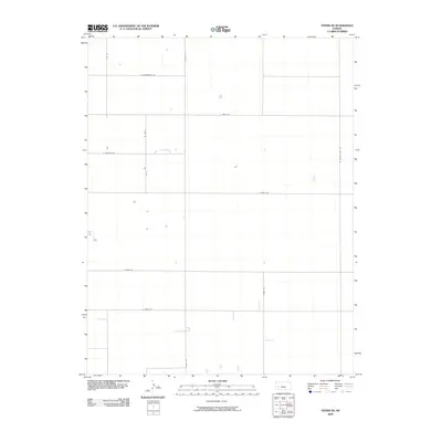
2009 Map of Tennis NE
USGS Topo · Published 2009About this map
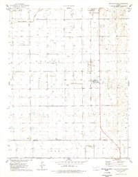
Shoupe Rd and N Sixteen Mile Rd anchor this high-plains landscape in Finney County, Kansas, during the late 2000s. The survey reveals a rigid, square-mile grid system typical of Western Kansas agriculture, where section lines double as the local transportation network. Unlike more populated areas, this quadrant is defined by its wide-open spaces and large-scale land management, with major east-west corridors like E Tennis Rd and E Gano Rd facilitating movement across the prairie. The map shows scattered rural residences and agricultural buildings, such as those along E Sterling Rd and E Sondregger Rd. This layout reflects the enduring legacy of the Homestead Act and the systematic township and range surveying that shaped the region's development into a major grain-producing territory.
Find a feature on this map
12 named features on this map. Tap any name to fly to it.
Don’t see what you’re looking for? This feature index may not catch every label — zoom into the map to look around manually.
Map Details
Editions of this 2009 Tennis NE Map
This is the sole edition of this map. No revisions or reprints were ever made.
Other maps of this area
1940 · Scott City
USGS Topo · 1:62,500
1944 · Tennis
USGS Topo · 1:62,500
1951 · Scott City
USGS Topo · 1:62,500

1955 · Scott City
USGS Topo · 1:250,000

1958 · Scott City
USGS Topo · 1:250,000
1974 · Scott City 4 SW
USGS Topo · 1:24,000
1974 · Scott City 4 NW
USGS Topo · 1:24,000
1974 · Amy SW
USGS Topo · 1:24,000
1976 · Lowe
USGS Topo · 1:24,000
1976 · Shallow Water
USGS Topo · 1:24,000