2000s (21st Century) Maps of Junction City, Kansas
Explore 15 historic maps of Junction City from the 2000s (21st Century). These maps offer a rare glimpse into what life looked like during the 2000s — showing old roads, neighborhoods, homes, and landmarks that have changed or disappeared over time.
Whether you're researching your family's past, planning a metal detecting trip, or studying how Junction City's landscape evolved across the 2000s, these high-resolution maps are a powerful tool for exploring the history of this region.
- Focus on a specific era: All maps on this page are from the 2000s, giving you a focused view of this time period.
- See what’s changed: Compare century-old streets, trails, and buildings to today's modern landscape using overlays and satellite layers.
- Research with precision: Use these maps for genealogy, historical research, land use analysis, or educational projects.
- View, download, or print: Maps are fully viewable online in high resolution, and can be downloaded or printed for your own records.
Start exploring Junction City's history through authentic maps from the 2000s. This is your window into the past.
Junction City, KS maps
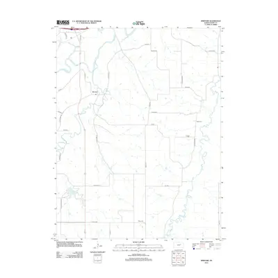
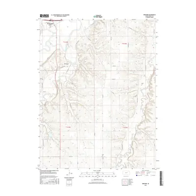
(15)- 2009 Map of Wreford, 2009 Print
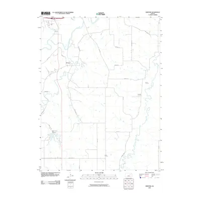 2009 Wreford2009 Print · USGSCovers Junction City, including Wreford, Geary County, and other nearby areas
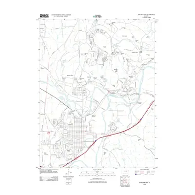
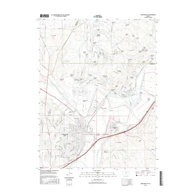
 - 2009 Map of Junction City, 2009 Print
 2009 Junction City2009 Print · USGSCovers Junction City, including Grandview Plaza, Riley County, and other nearby areas
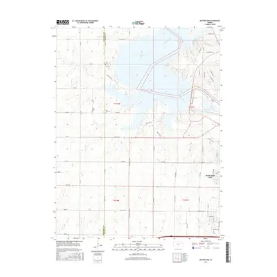
 - 2009 Map of Milford Dam, 2009 Print
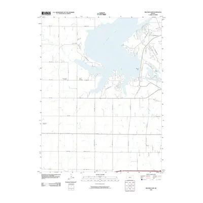 2009 Milford Dam2009 Print · USGSCovers Junction City, including Geary County, Dickinson County, and other nearby areas
 - 2012 Map of Junction City, 2012 Print
 2012 Junction City2012 Print · USGSCovers Junction City, including Grandview Plaza, Riley County, and other nearby areas
 - 2012 Map of Milford Dam, 2012 Print
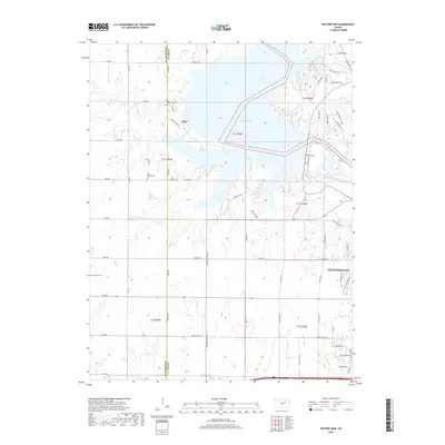
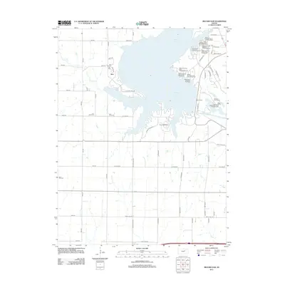 2012 Milford Dam2012 Print · USGSCovers Junction City, including Geary County, Dickinson County, and other nearby areas
 - 2012 Map of Wreford, 2012 Print
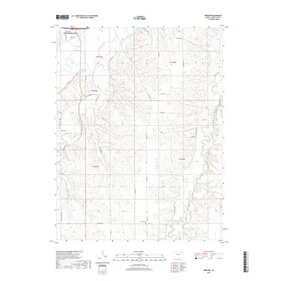
 2012 Wreford2012 Print · USGSCovers Junction City, including Wreford, Geary County, and other nearby areas
 - 2015 Map of Wreford, 2015 Print
 2015 Wreford2015 Print · USGSCovers Junction City, including Wreford, Geary County, and other nearby areas
 - 2016 Map of Junction City, 2016 Print
 2016 Junction City2016 Print · USGSCovers Junction City, including Grandview Plaza, Riley County, and other nearby areas
 - 2016 Map of Milford Dam, 2016 Print
 2016 Milford Dam2016 Print · USGSCovers Junction City, including Geary County, Dickinson County, and other nearby areas
 - 2018 Map of Wreford, 2018 Print
 2018 Wreford2018 Print · USGSCovers Junction City, including Wreford, Geary County, and other nearby areas
 - 2018 Map of Junction City, 2018 Print
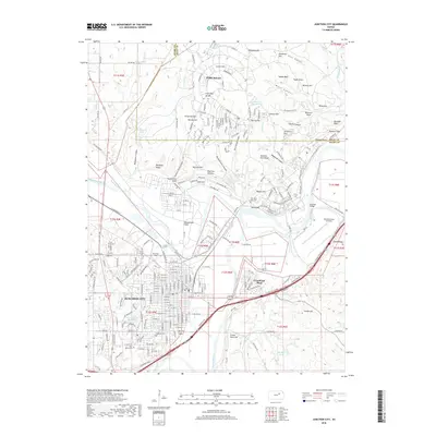 2018 Junction City2018 Print · USGSCovers Junction City, including Grandview Plaza, Riley County, and other nearby areas
 - 2018 Map of Milford Dam, 2018 Print
 2018 Milford Dam2018 Print · USGSCovers Junction City, including Geary County, Dickinson County, and other nearby areas
 - 2022 Map of Wreford, 2022 Print
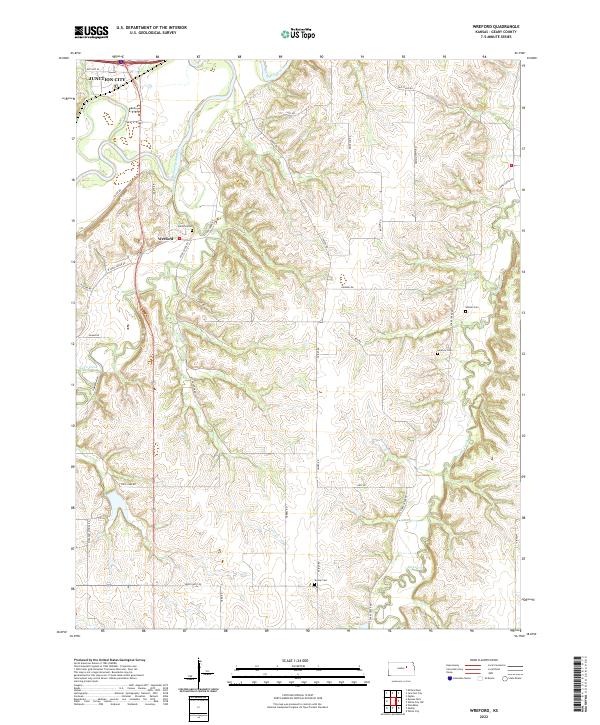 2022 Wreford2022 Print · USGSGeary County, Kansas, reveals its rural character and river-valley geography in this recent survey. Local historians can trace early travel routes and family ties at Wreford, Skiddy Cem, and along the historic Old Stage Rd.
 - 2022 Map of Junction City, 2022 Print
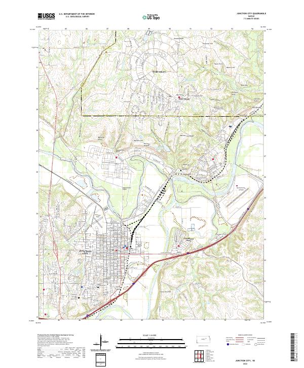 2022 Junction City2022 Print · USGSJunction City and the confluence of the Kansas River system are captured here in the early twenty-first century. Researchers can trace the boundaries of Fort Riley alongside local landmarks like the Geary County Courthouse and Saint Mary's Cem.
 - 2022 Map of Milford Dam, 2022 Print
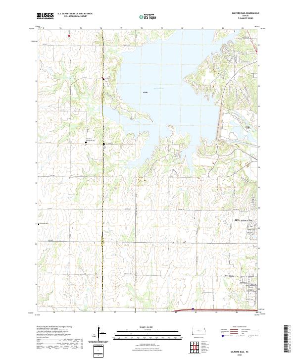 2022 Milford Dam2022 Print · USGSNear the Geary and Dickinson County line in the early 2020s, this area reflects a landscape defined by the Republican River and its reservoir. Family historians can trace rural roots through Alida Cem, Saint Johns Cem, and the settlement of Alida.
End of results
Showing maps 1-15 of 15
Top cities near Junction City
- Manhattan historical maps
- Chapman historical maps
- Chapman historical maps
- Ogden historical maps
- Grandview Plaza historical maps
- Wakefield historical maps
See more
Frequently asked questions
- What are the different types of historical maps available for Junction City?
- What is the oldest map of Junction City?
- Where can I purchase historical maps of Junction City for my home or office?
- Where can I download high-res historical maps of Junction City?
- Are there historical topographic maps available for Junction City?
- Is there historical aerial imagery available for Junction City?
- Where are historical maps of Junction City sourced from?