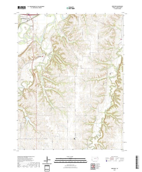
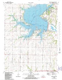
2022 Map of Wreford
USGS Topo · Published 2022About this map
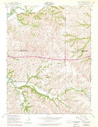
Junction City anchors the northern reaches of this landscape, where the Smoky Hill River meanders through the valley just south of the city limits. The terrain transitions from these river bottoms into a network of creek drainages, including Lyon Creek, Clarks Creek, and Otter Creek. The small community of Wreford sits centrally, serving as a landmark in a region defined by agricultural heritage and a long-standing rural road network. Historical transportation routes are still evident through labels like Old Stage Rd and Old Hwy 40, tracing the paths of early travelers across the Kansas prairie.
Find a feature on this map
38 named features on this map. Tap any name to fly to it.
Don’t see what you’re looking for? This feature index may not catch every label — zoom into the map to look around manually.
Map Details
Editions of this 2022 Wreford Map
This is the sole edition of this map. No revisions or reprints were ever made.
Historical Maps of Junction City Through Time
14 maps found
1950 Alida
Geary County, KS
1951 Swede Creek
Geary County, KS
1955 Milford Dam
Geary County, KS
1955 Swede Creek
Geary County, KS
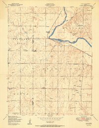
1964 Wreford
Geary County, KS
1971 White City NE
Geary County, KS
1971 White City NW
Geary County, KS
1982 Milford Dam
Geary County, KS
1982 Swede Creek
Geary County, KS
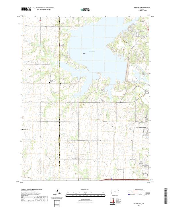
2022 Milford Dam
Geary County, KS
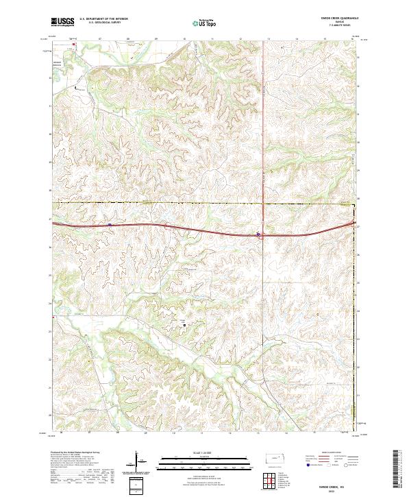
2022 Swede Creek
Geary County, KS
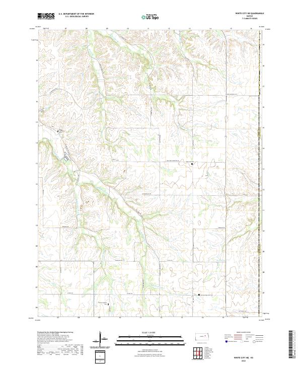
2022 White City NE
Geary County, KS
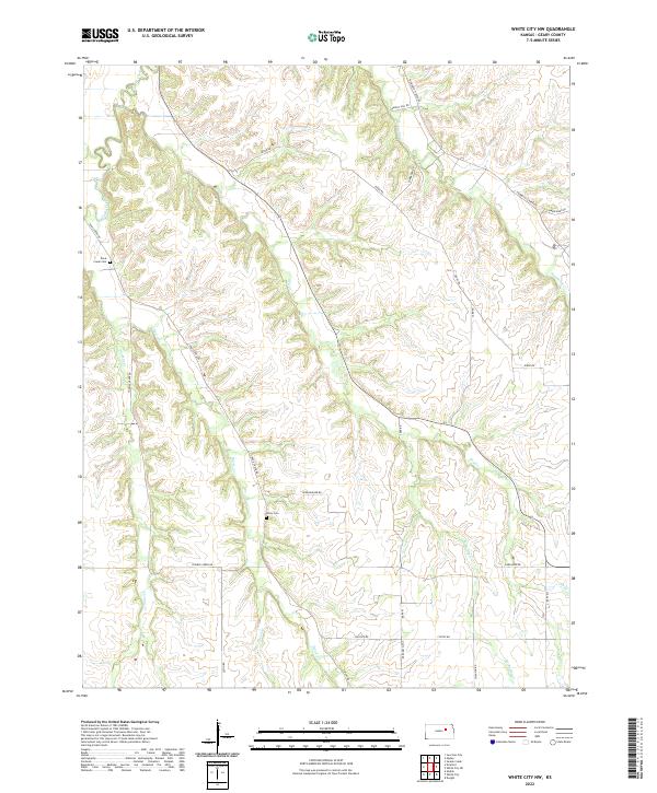
2022 White City NW
Geary County, KS
2022 Wreford
Geary County, KS