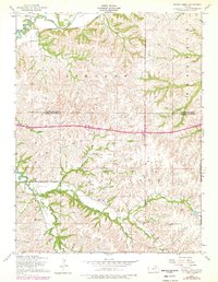
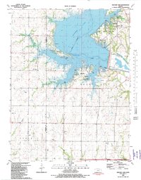
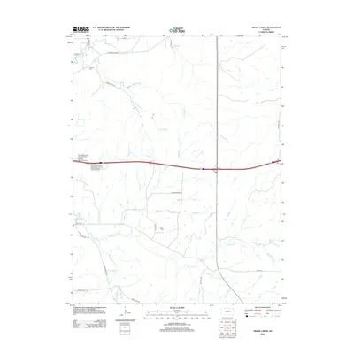
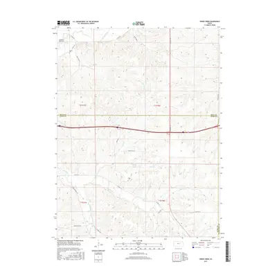
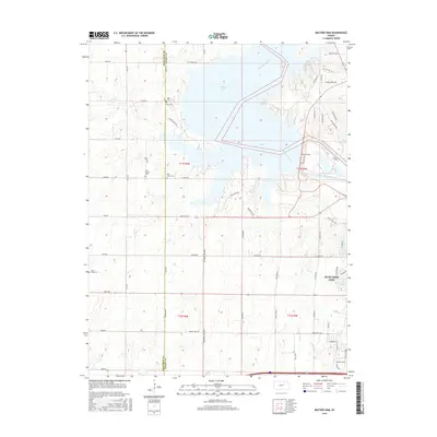
1950 Map of Alida
USGS Topo · Published 1950About this map
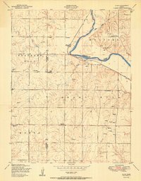
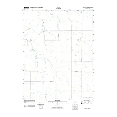
Alida serves as the focal point for this agrarian landscape on the border of Dickinson and Geary counties at the turn of the 1950s. The settlement sits strategically at the confluence of the Republican River and Curtis Creek, where the Union Pacific railroad tracks follow the river's path. This map captures a dense network of local education and community history, evidenced by the numerous country schools like Tell School and Pleasant View School and several rural burying grounds including St Johns and Bethel Cemetery.
Find a feature on this map
22 named features on this map. Tap any name to fly to it.
Don’t see what you’re looking for? This feature index may not catch every label — zoom into the map to look around manually.
Map Details
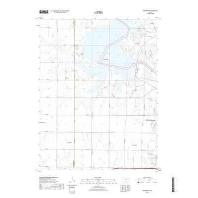
Editions of this 1950 Alida Map
2 editions found
Historical Maps of Junction City Through Time
34 maps found
1950 Alida
Geary County, KS
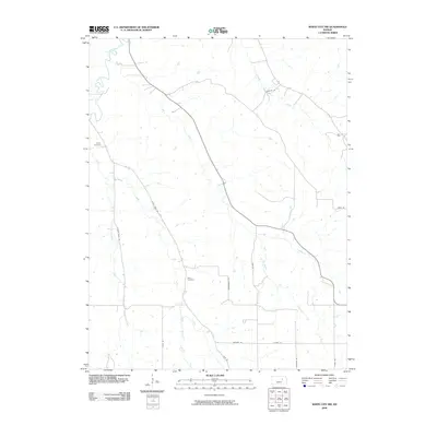
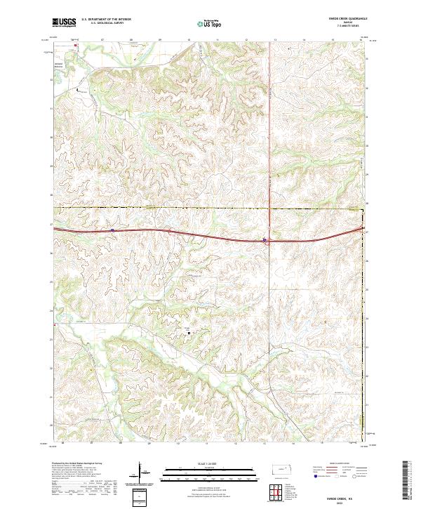
1951 Swede Creek
Geary County, KS
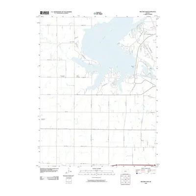
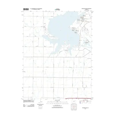
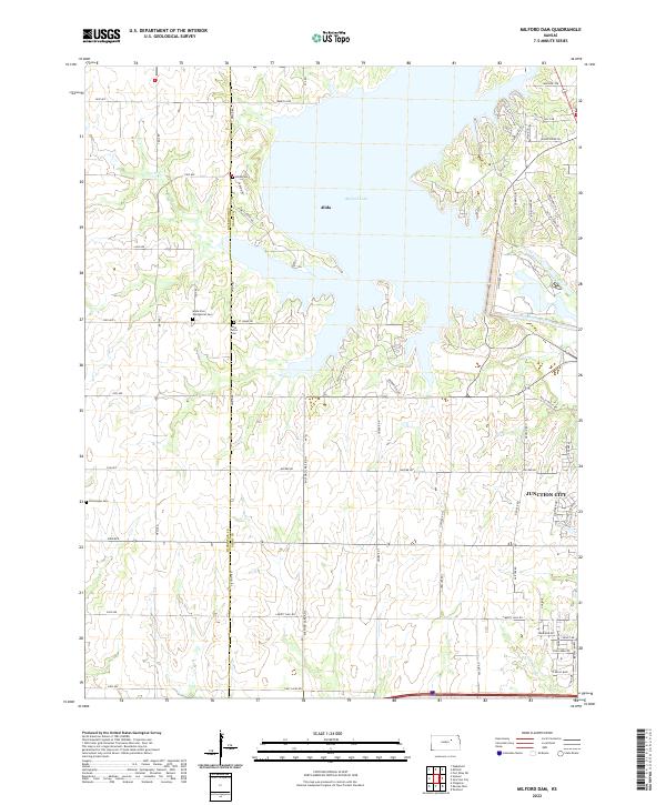
1955 Milford Dam
Geary County, KS
1955 Swede Creek
Geary County, KS
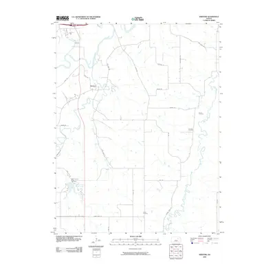
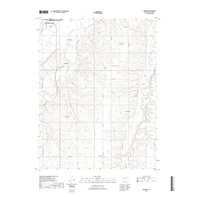
1964 Wreford
Geary County, KS
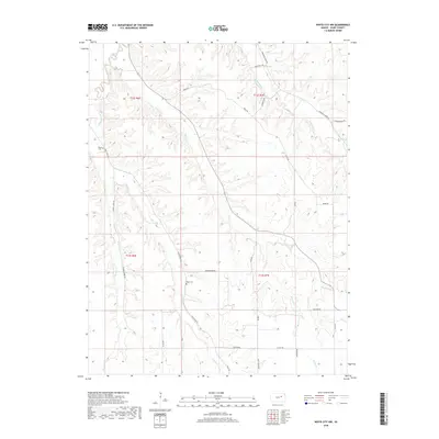
1971 White City NE
Geary County, KS
1971 White City NW
Geary County, KS
1982 Milford Dam
Geary County, KS
1982 Swede Creek
Geary County, KS
2009 Milford Dam
Geary County, KS
2009 Swede Creek
Geary County, KS
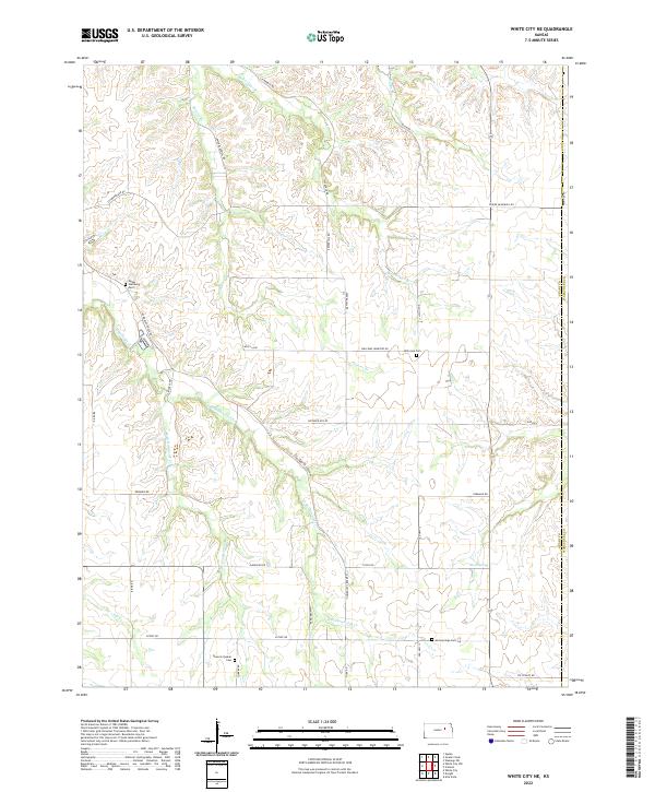
2009 White City NE
Geary County, KS
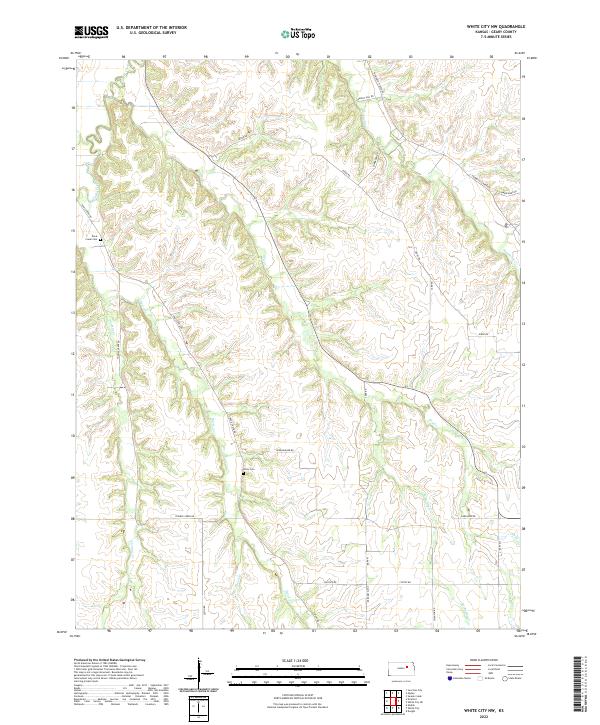
2009 White City NW
Geary County, KS
2009 Wreford
Geary County, KS
2012 Milford Dam
Geary County, KS
2012 Swede Creek
Geary County, KS
2012 White City NE
Geary County, KS
2012 White City NW
Geary County, KS
2012 Wreford
Geary County, KS
2015 Swede Creek
Geary County, KS
2015 White City NE
Geary County, KS
2015 White City NW
Geary County, KS
2015 Wreford
Geary County, KS
2016 Milford Dam
Geary County, KS
2018 Milford Dam
Geary County, KS
2018 Swede Creek
Geary County, KS
2018 White City NE
Geary County, KS
2018 White City NW
Geary County, KS
2018 Wreford
Geary County, KS
2022 Milford Dam
Geary County, KS
2022 Swede Creek
Geary County, KS
2022 White City NE
Geary County, KS
2022 White City NW
Geary County, KS
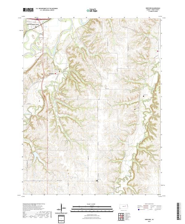
2022 Wreford
Geary County, KS