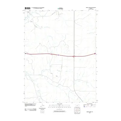
2009 Map of Swede Creek
USGS Topo · Published 2009About this map
Ashland and its surrounding prairie landscape are defined by an intricate network of waterways draining toward the larger river systems of Riley County. This 2009 survey highlights the geographic transition from the headwaters of North Branch Kings Creek and South Branch Kings Creek to the broader valleys of McDowell Creek and Swede Creek. Genealogical interest centers on the Ashland Cemetery and Briggs Cemetery, providing key reference points for local history. Modern transportation corridors like Old Hwy 18 and Konza Prairie Ln overlay the older patterns of ranching and rural settlement, while numerous smaller tributaries such as Briggs Branch and Poole Branch trace the undulating drainage basins of the Kansas flint hills region.
Find a feature on this map
22 named features on this map. Tap any name to fly to it.
Don’t see what you’re looking for? This feature index may not catch every label — zoom into the map to look around manually.
Map Details
Editions of this 2009 Swede Creek Map
This is the sole edition of this map. No revisions or reprints were ever made.
Other maps of this area

1885 · Eskridge
USGS Topo · 1:125,000

1886 · Junction City
USGS Topo · 1:125,000

1889 · Wamego
USGS Topo · 1:125,000

1889 · Junction City
USGS Topo · 1:125,000

1889 · Parkerville
USGS Topo · 1:125,000

1889 · Eskridge
USGS Topo · 1:125,000

1894 · Eskridge
USGS Topo · 1:125,000

1894 · Junction City
USGS Topo · 1:125,000

1894 · Parkerville
USGS Topo · 1:125,000

1894 · Wamego
USGS Topo · 1:125,000