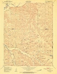
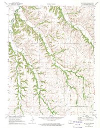
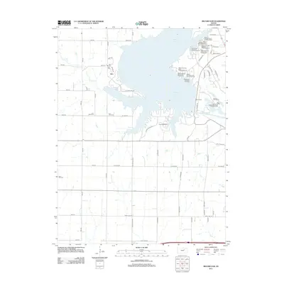
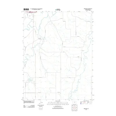
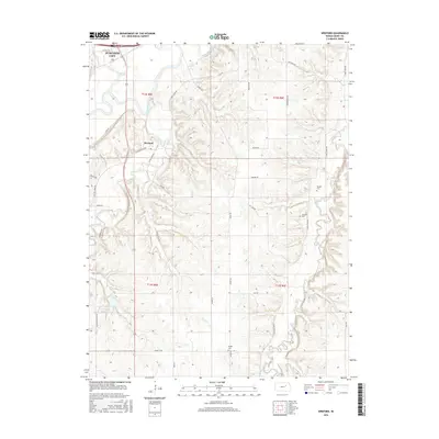
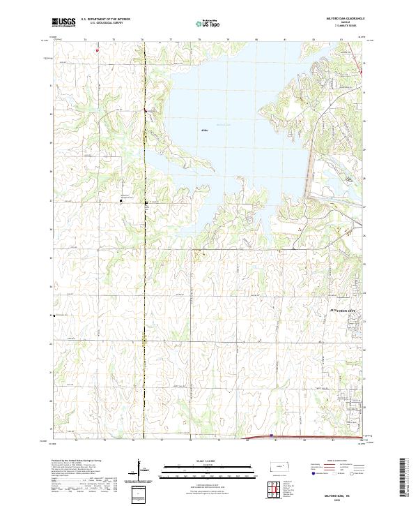
1955 Map of Milford Dam
USGS Topo · Published 1978About this map
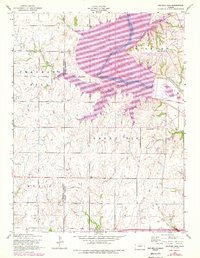
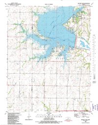
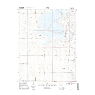
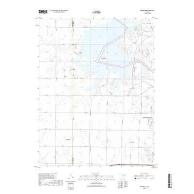
Milford Lake and the winding Republican River dominate this landscape along the border of Dickinson and Geary Counties. The transition from mid-century rural survey to late-1970s land management is visible in the purple-tinted revisions, showing the expansion of the reservoir and the establishment of the Milford-Pleasant View State Park. The surrounding highlands of Fragrant Hill and Smoky Hill are dotted with the essential landmarks of early Kansas community life, including the Alida Church and several rural education sites like Walla Walla School. Genealogy researchers will find several well-defined burial grounds across the townships, such as Alida Cem, St Johns Cem, and Good Hope Cem, which provide a grounded record of the families who settled this river valley before the modern landscape was reshaped by the dam.
Find a feature on this map
17 named features on this map. Tap any name to fly to it.
Don’t see what you’re looking for? This feature index may not catch every label — zoom into the map to look around manually.
Map Details
Editions of this 1955 Milford Dam Map
3 editions found
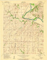
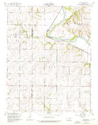
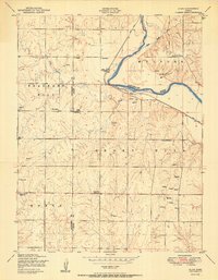
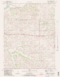
Historical Maps of Junction City Through Time
34 maps found
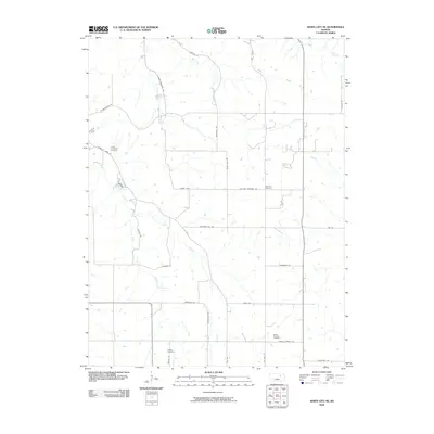
1950 Alida
Geary County, KS
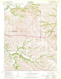
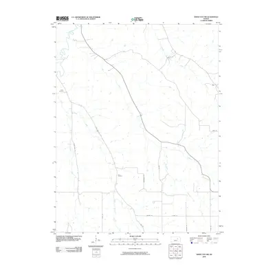
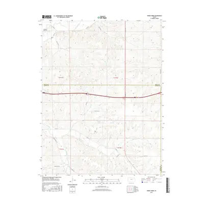
1951 Swede Creek
Geary County, KS
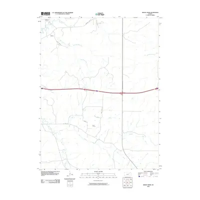
1955 Milford Dam
Geary County, KS
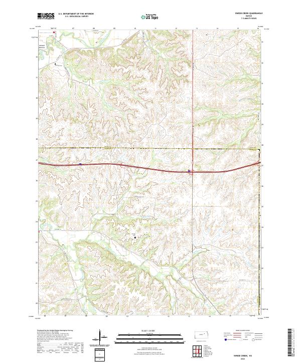
1955 Swede Creek
Geary County, KS
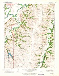
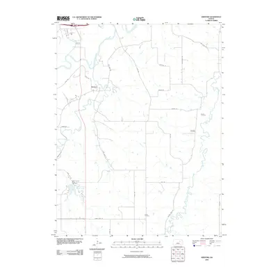
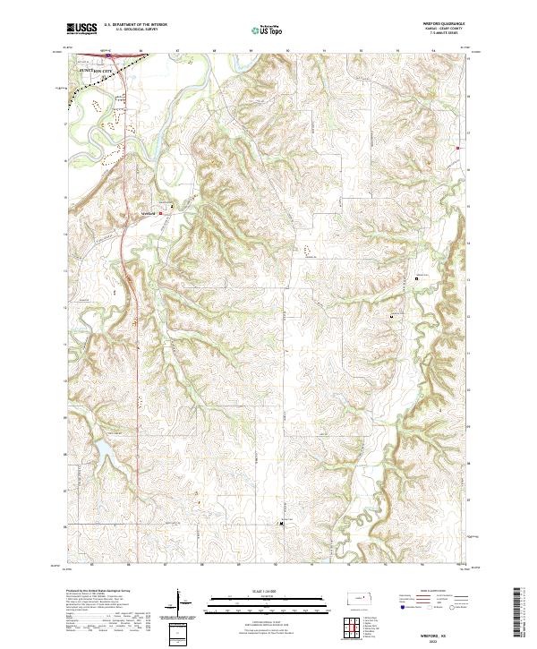
1964 Wreford
Geary County, KS
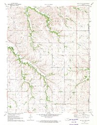
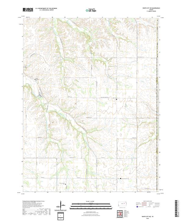
1971 White City NE
Geary County, KS
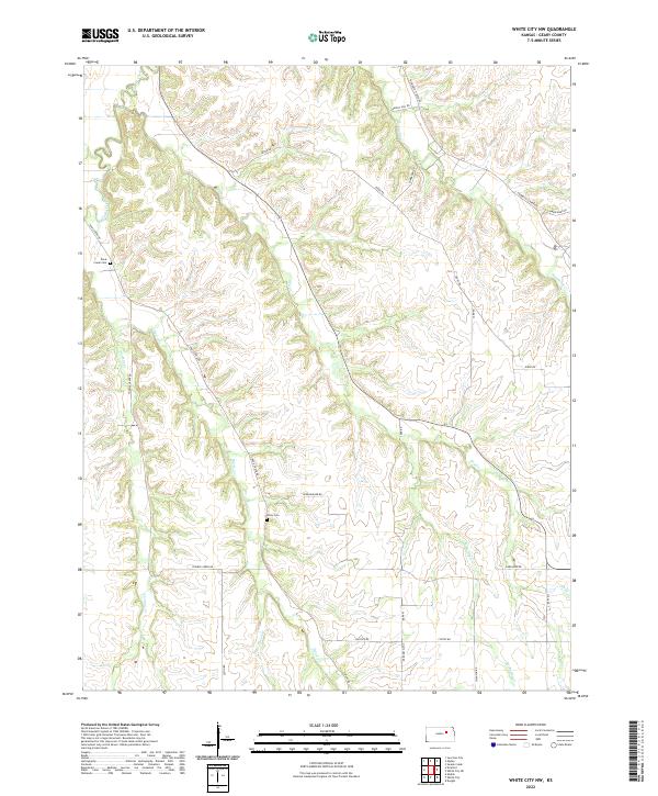
1971 White City NW
Geary County, KS
1982 Milford Dam
Geary County, KS
1982 Swede Creek
Geary County, KS
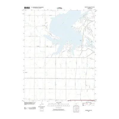
2009 Milford Dam
Geary County, KS
2009 Swede Creek
Geary County, KS
2009 White City NE
Geary County, KS
2009 White City NW
Geary County, KS
2009 Wreford
Geary County, KS
2012 Milford Dam
Geary County, KS
2012 Swede Creek
Geary County, KS
2012 White City NE
Geary County, KS
2012 White City NW
Geary County, KS
2012 Wreford
Geary County, KS
2015 Swede Creek
Geary County, KS
2015 White City NE
Geary County, KS
2015 White City NW
Geary County, KS
2015 Wreford
Geary County, KS
2016 Milford Dam
Geary County, KS
2018 Milford Dam
Geary County, KS
2018 Swede Creek
Geary County, KS
2018 White City NE
Geary County, KS
2018 White City NW
Geary County, KS
2018 Wreford
Geary County, KS
2022 Milford Dam
Geary County, KS
2022 Swede Creek
Geary County, KS
2022 White City NE
Geary County, KS
2022 White City NW
Geary County, KS
2022 Wreford
Geary County, KS