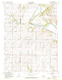
1955 Map of Alida
USGS Topo · Published 1976About this map
Republican River flows through the northern reaches of this landscape, carving a wide valley that serves as a primary corridor for the Union Pacific railroad. In the mid-1950s, the rural community of Alida sat as a quiet hub near the river, supported by localized infrastructure like Alida School and nearby Gas Tanks. This survey captures the region just before the construction of the Milford Dam, which would eventually transform this valley into a reservoir.
Find a feature on this map
20 named features on this map. Tap any name to fly to it.
Don’t see what you’re looking for? This feature index may not catch every label — zoom into the map to look around manually.
Map Details
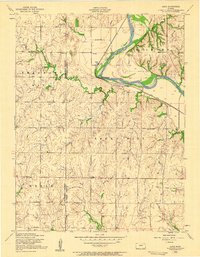
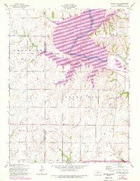
Editions of this 1955 Alida Map
3 editions found
Other maps of this area

1886 · Junction City
USGS Topo · 1:125,000

1889 · Junction City
USGS Topo · 1:125,000

1889 · Abilene
USGS Topo · 1:125,000

1889 · Parkerville
USGS Topo · 1:125,000

1891 · Clay Center
USGS Topo · 1:125,000

1894 · Junction City
USGS Topo · 1:125,000

1894 · Abilene
USGS Topo · 1:125,000

1894 · Parkerville
USGS Topo · 1:125,000

1947 · Fort Riley
USGS Topo · 1:62,500

1950 · Junction City
USGS Topo · 1:24,000