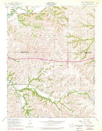
1955 Map of Swede Creek
USGS Topo · Published 1978About this map
Mc Dowell Creek and its many tributaries, including Swede Creek and Briggs Branch, carve through the Flint Hills landscape in this mid-century survey of the Ashland, Zeandale, and Jackson townships. The map documents a rural environment on the cusp of modernization, featuring Interstate 70 cutting across the central hills, while older community markers remain prominent. Genealogists and local historians can locate the Ashland Cem and Briggs Cem, alongside civic foundations like Briggs School and School No 4. The drainage pattern is particularly intricate, with Deadman Creek, Poole Branch, and West McDowell Creek illustrating the complex water network that defined property lines and early settlement patterns in this part of Riley and Geary Counties.
Find a feature on this map
21 named features on this map. Tap any name to fly to it.
Don’t see what you’re looking for? This feature index may not catch every label — zoom into the map to look around manually.
Map Details
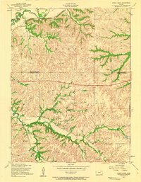
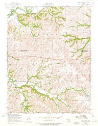
Editions of this 1955 Swede Creek Map
3 editions found
Other maps of this area

1885 · Eskridge
USGS Topo · 1:125,000

1886 · Junction City
USGS Topo · 1:125,000

1889 · Wamego
USGS Topo · 1:125,000

1889 · Junction City
USGS Topo · 1:125,000

1889 · Parkerville
USGS Topo · 1:125,000

1889 · Eskridge
USGS Topo · 1:125,000

1894 · Eskridge
USGS Topo · 1:125,000

1894 · Junction City
USGS Topo · 1:125,000

1894 · Parkerville
USGS Topo · 1:125,000

1894 · Wamego
USGS Topo · 1:125,000