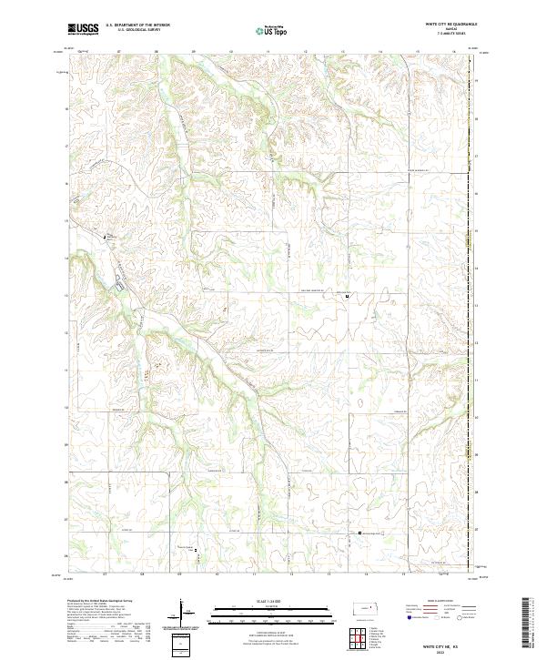
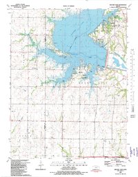
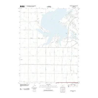
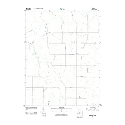
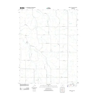
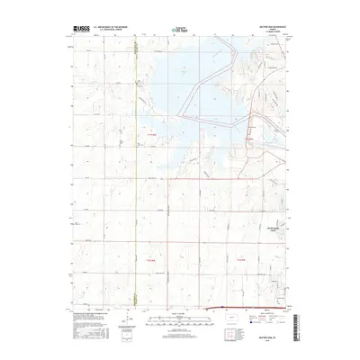
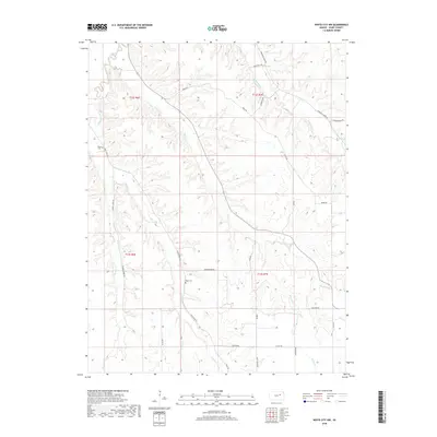
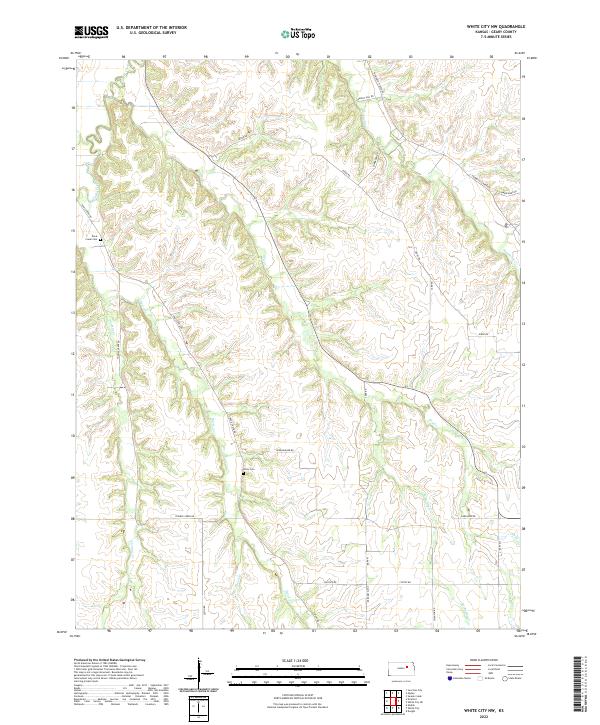
2022 Map of White City NE
USGS Topo · Published 2022About this map
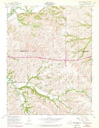
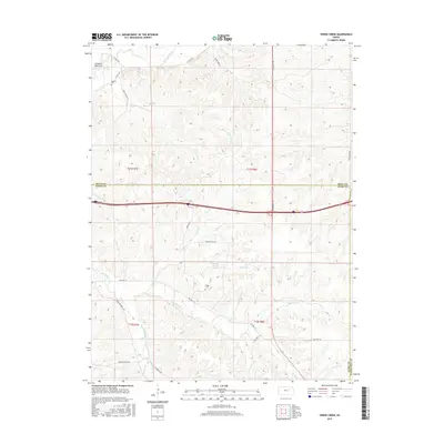
The rolling drainage basins of Humboldt Cr define this rural landscape on the border of Geary and Wabaunsee counties. The area is characterized by a dense network of family-named creeks and branches, including MacArthur Br, Thierer Br, and Poole Br, which carve through the Flint Hills terrain. For genealogists and local historians, the map preserves the exact locations of several secluded burial grounds that speak to the area's early settlement patterns, such as the Upper Humboldt Cem in the northwest and the Damoris Quaker Cem to the south.
Find a feature on this map
38 named features on this map. Tap any name to fly to it.
Don’t see what you’re looking for? This feature index may not catch every label — zoom into the map to look around manually.
Map Details
Editions of this 2022 White City NE Map
This is the sole edition of this map. No revisions or reprints were ever made.
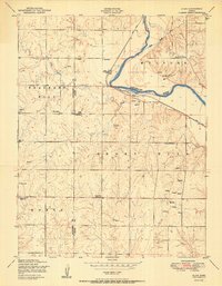
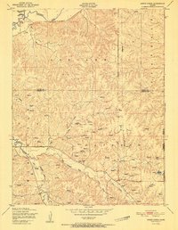
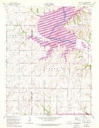
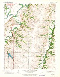
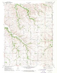
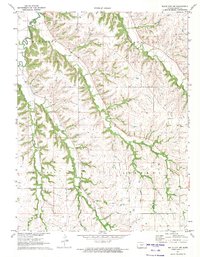
Historical Maps of Geary County Through Time
34 maps found
1950 Alida
Geary County, KS
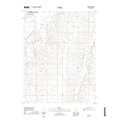
1951 Swede Creek
Geary County, KS
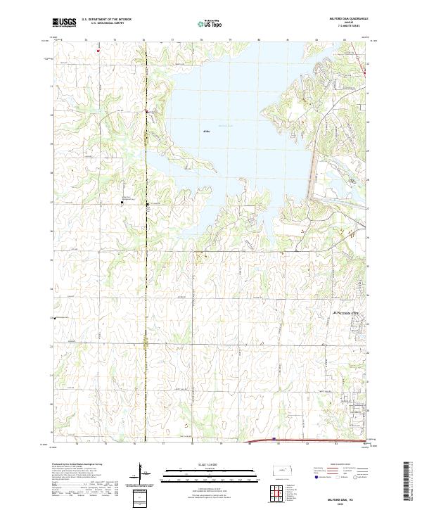
1955 Milford Dam
Geary County, KS
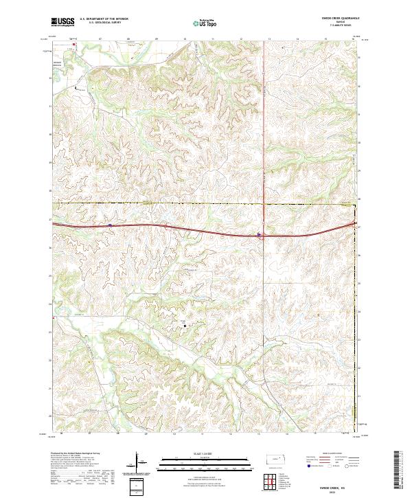
1955 Swede Creek
Geary County, KS
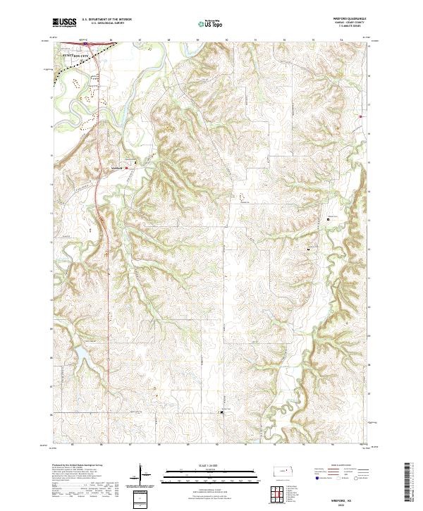
1964 Wreford
Geary County, KS
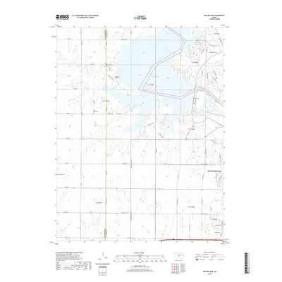
1971 White City NE
Geary County, KS
1971 White City NW
Geary County, KS
1982 Milford Dam
Geary County, KS
1982 Swede Creek
Geary County, KS
2009 Milford Dam
Geary County, KS
2009 Swede Creek
Geary County, KS
2009 White City NE
Geary County, KS
2009 White City NW
Geary County, KS
2009 Wreford
Geary County, KS
2012 Milford Dam
Geary County, KS
2012 Swede Creek
Geary County, KS
2012 White City NE
Geary County, KS
2012 White City NW
Geary County, KS
2012 Wreford
Geary County, KS
2015 Swede Creek
Geary County, KS
2015 White City NE
Geary County, KS
2015 White City NW
Geary County, KS
2015 Wreford
Geary County, KS
2016 Milford Dam
Geary County, KS
2018 Milford Dam
Geary County, KS
2018 Swede Creek
Geary County, KS
2018 White City NE
Geary County, KS
2018 White City NW
Geary County, KS
2018 Wreford
Geary County, KS
2022 Milford Dam
Geary County, KS
2022 Swede Creek
Geary County, KS
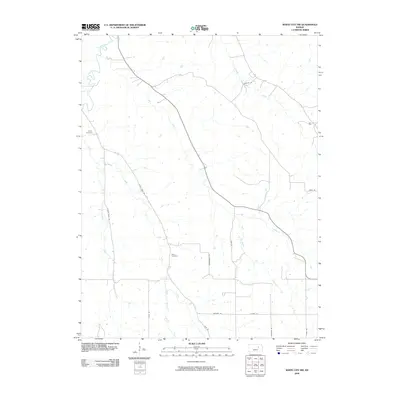
2022 White City NE
Geary County, KS
2022 White City NW
Geary County, KS
2022 Wreford
Geary County, KS