2020s Maps of Hamilton County, Kansas
Explore 30 historic maps of Hamilton County from the 2020s. These maps offer a rare glimpse into what life looked like during the 2020s — showing old roads, neighborhoods, homes, and landmarks that have changed or disappeared over time.
Whether you're researching your family's past, planning a metal detecting trip, or studying how Hamilton County's landscape evolved across the 2020s, these high-resolution maps are a powerful tool for exploring the history of this region.
- Focus on a specific era: All maps on this page are from the 2020s, giving you a focused view of this time period.
- See what’s changed: Compare century-old streets, trails, and buildings to today's modern landscape using overlays and satellite layers.
- Research with precision: Use these maps for genealogy, historical research, land use analysis, or educational projects.
- View, download, or print: Maps are fully viewable online in high resolution, and can be downloaded or printed for your own records.
Start exploring Hamilton County's history through authentic maps from the 2020s. This is your window into the past.
Hamilton County, KS maps
(30)- 2022 Map of Durkee Creek NE, 2022 Print
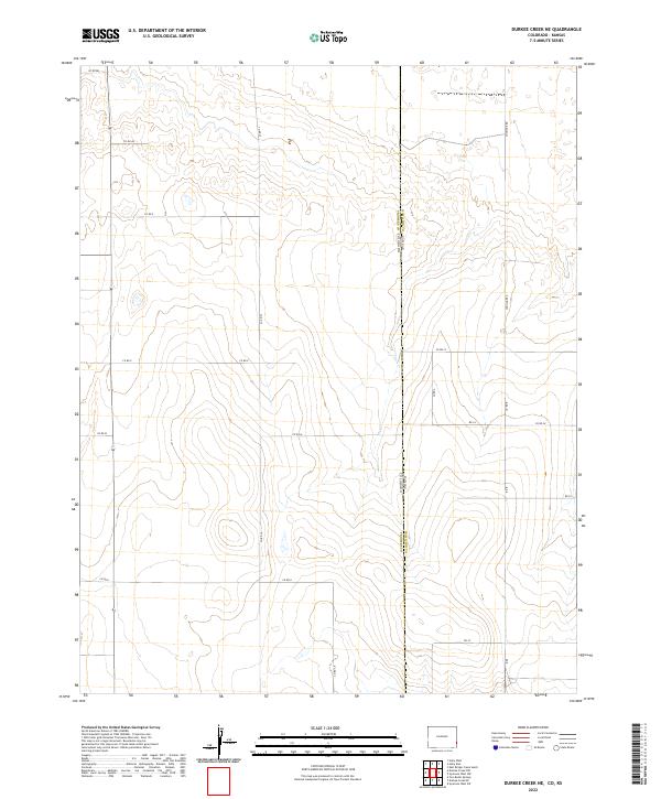 2022 Durkee Creek NE2022 Print · USGSThe Colorado-Kansas border takes center stage in the 2020s, showing the intersection of Prowers Co and Hamilton Co. Researchers can trace the section-line road network, including Coolidge Rd and Co Rd 37, as it navigates the high plains terrain.
 - 2022 Map of Durkee Creek SE, 2022 Print
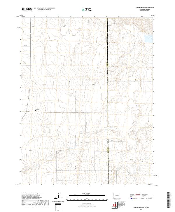 2022 Durkee Creek SE2022 Print · USGSThe Colorado-Kansas borderlands in the early twenty-first century are defined by high plains ranching and a rigid grid of section roads. Researchers can locate the Garber Cem and trace seasonal waterways like Dry Cr and N Bear Cr.
 - 2022 Map of Lycan NE, 2022 Print
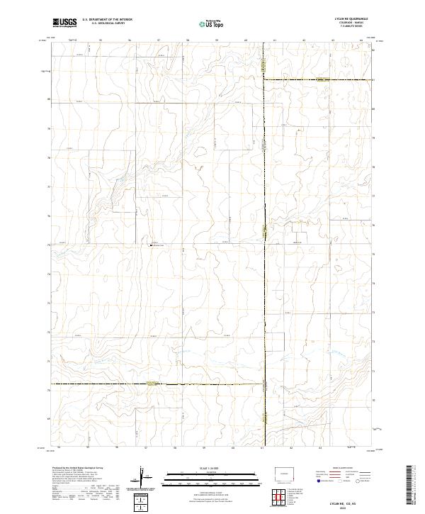 2022 Lycan NE2022 Print · USGSThe Colorado and Kansas state line meets in this 2022 survey of the High Plains. Genealogists and historians can locate the Amerine Cem and trace the paths of N Bear Cr and Little Bear Cr across the border.
 - 2022 Map of Holly East, 2022 Print
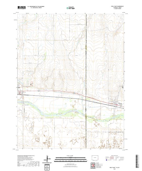 2022 Holly East2022 Print · USGSThe Colorado-Kansas border comes alive in this modern survey of the High Plains, where the Arkansas River links two neighboring states. Researchers can trace local history through sites like the Holly Cem, Coolidge settlement, and the Buffalo Canal.
 - 2022 Map of Towner SE, 2022 Print
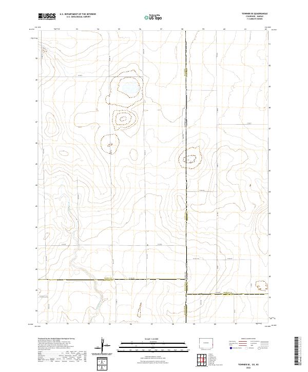 2022 Towner SE2022 Print · USGSThe Colorado-Kansas borderlands are shown in the early twenty-first century, where four counties meet in an expansive grid of section roads. Trace local transport routes along State Line Rd and the drainage of Wild Horse Cr past remote junctions like Co Rd 79.
 - 2022 Map of Holly NE, 2022 Print
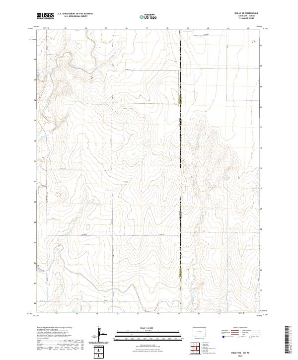 2022 Holly NE2022 Print · USGSThe Colorado-Kansas borderlands are captured here in the early twenty-first century, showing the intersection of Prowers and Hamilton counties. Researchers can trace the path of the Amity Canal and identify local landmarks like Wild Horse Creek and the Hazel Lateral.
 - 2022 Map of Johnson NE, 2022 Print
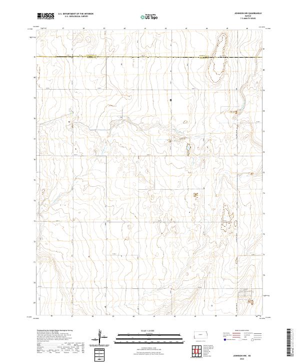
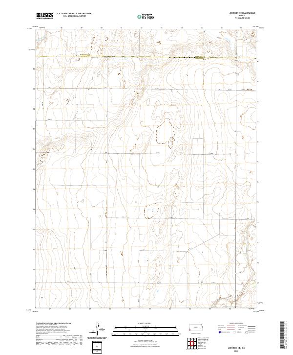 2022 Johnson NE2022 Print · USGSWestern Kansas agricultural land is captured here in the early 2020s along the boundary of Hamilton Co and Stanton Co. Researchers can trace the section-line road network from Rd 37 to Road N and follow the course of Little Bear Cr.
 - 2022 Map of Big Bow NW, 2022 Print
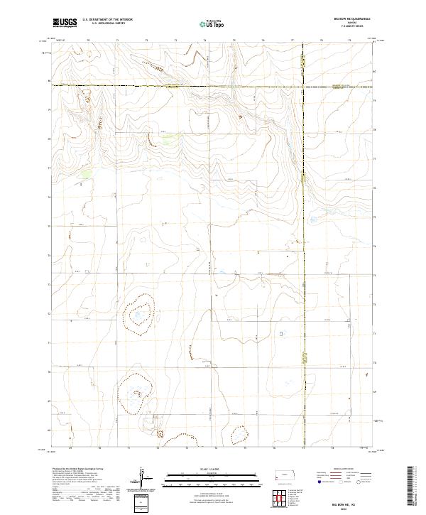
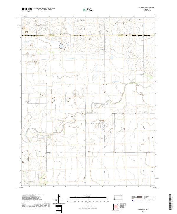 2022 Big Bow NW2022 Print · USGSWestern Kansas at the start of the 2020s shows a landscape of systematic agriculture and deep-rooted rural infrastructure. Local history researchers can pinpoint the Mitchell Cemetery or trace the path of Little Bear Creek across the Stanton and Hamilton county line.
 - 2022 Map of Syracuse West, 2022 Print
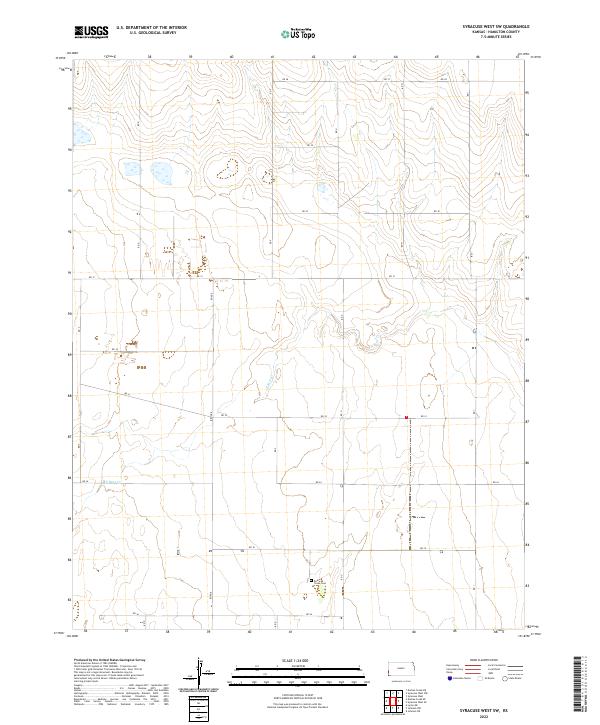
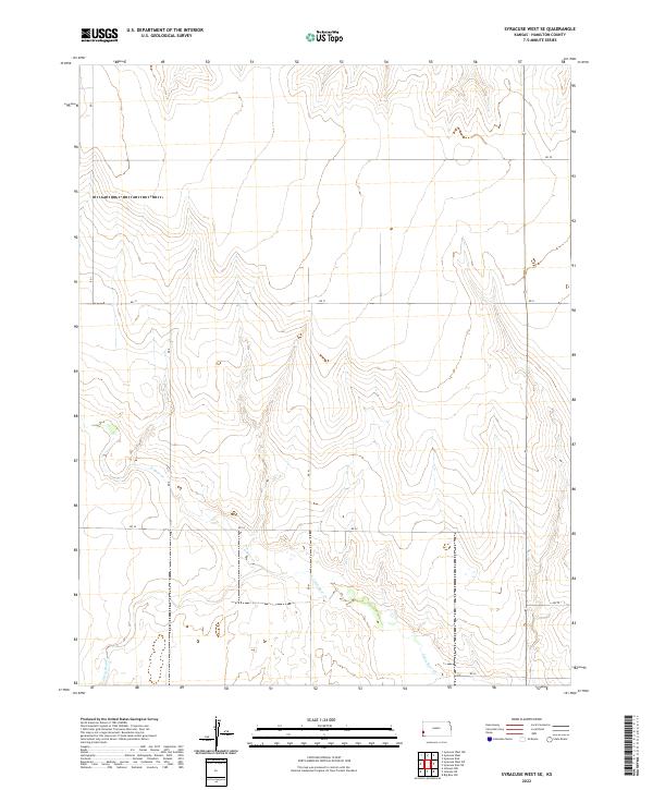
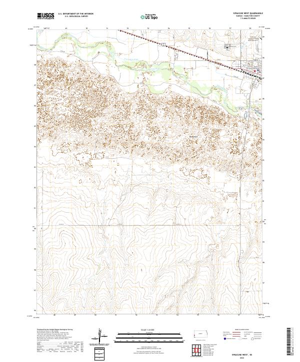 2022 Syracuse West2022 Print · USGSThe high plains of Hamilton County are centered here at the town of Syracuse in the early twenty-first century. Researchers can trace the local infrastructure from the Hamilton County Courthouse to the Syracuse Cem and the vital Fort Aubrey Ditch.
 - 2022 Map of Syracuse East SE, 2022 Print
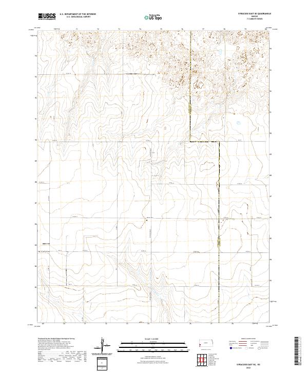 2022 Syracuse East SE2022 Print · USGSHamilton and Kearny counties are captured here in their modern rural state, showing the enduring township and range divisions of Western Kansas. Researchers can trace land boundaries along Big Bow Grade or locate burial sites at the Menno Cem.
 - 2022 Map of Syracuse West NW, 2022 Print
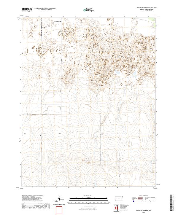 2022 Syracuse West NW2022 Print · USGSHamilton County, Kansas, is shown in the early twenty-first century as a landscape shaped by long-standing agricultural boundaries and survey grids. Researchers can locate Sunnyvale Cem and trace the local transit network along CO RD 25 and Rd 27.
 - 2022 Map of Kendall, 2022 Print
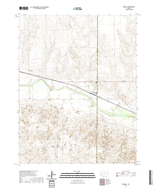 2022 Kendall2022 Print · USGSWestern Kansas at the edge of the High Plains is documented here as it appeared in the early 2020s. Researchers can trace the townsite of Kendall and the nearby Kendall Cem along the historic Arkansas River corridor.
 - 2022 Map of Johnson NW, 2022 Print
 2022 Johnson NW2022 Print · USGSStanton County at the edge of Hamilton County reveals a landscape defined by the geometric grid of agricultural roads and the winding Little Bear Creek. Genealogists and historians can trace the precise section boundaries and routes like Rd 37 and N Manter Grade as they appeared in 2022.
 - 2022 Map of Syracuse West SW, 2022 Print
 2022 Syracuse West SW2022 Print · USGSHamilton County is captured in its modern rural character, showing a vast agricultural landscape defined by the drainage of N Bear Cr. Researchers can locate local landmarks like the Bear Creek Cem and trace the section-line road network from Rd 28 to Rd 36.
 - 2022 Map of Syracuse East, 2022 Print
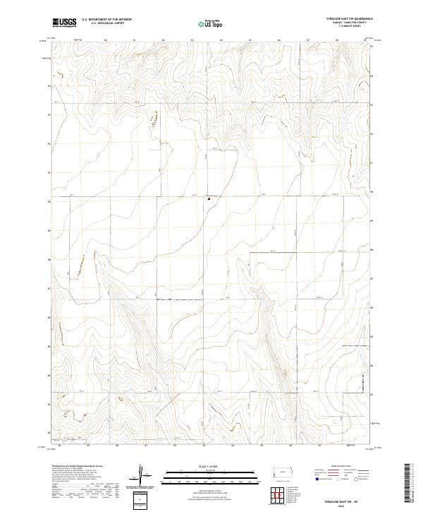
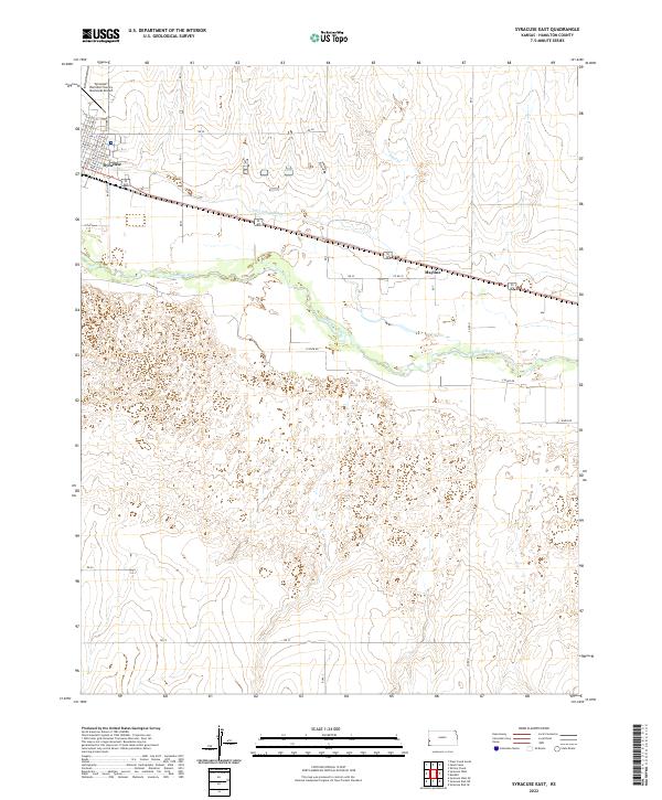 2022 Syracuse East2022 Print · USGSSyracuse and the Arkansas River valley are captured here in the early 2020s, showing a landscape defined by irrigation and prairie agriculture. Trace the local street grid of Syracuse, the legacy of the Fort Aubrey Ditch, and the rural settlement at Mayline.
 - 2022 Map of Big Bow NE, 2022 Print
 2022 Big Bow NE2022 Print · USGSThe Western Kansas high plains at the meeting point of four counties are captured here in the early 2020s. Genealogists and land researchers can trace property boundaries along Big Bow Grade and follow the seasonal course of Wolf Cr.
 - 2022 Map of Syracuse West SE, 2022 Print
 2022 Syracuse West SE2022 Print · USGSHamilton County, Kansas, is mapped here in the early twenty-first century, showcasing the enduring grid of the High Plains. Researchers can trace the section-line road network from RD J to RD 34 and the drainage of N Bear Cr and Little Bear Cr.
 - 2022 Map of Syracuse East SW, 2022 Print
 2022 Syracuse East SW2022 Print · USGSHamilton County's open high plains are captured here in the early 2020s, showing the rigid geometry of the Kansas section-line road network. Genealogists and researchers can locate the Ebenfleur Cem and trace rural routes like Co Rd U and Co Rd 31.
 - 2022 Map of Plum Creek North, 2022 Print
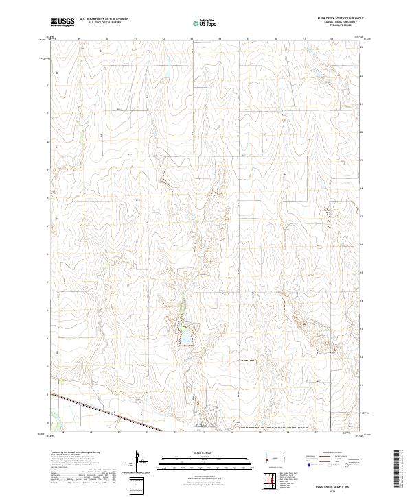
 2022 Plum Creek North2022 Print · USGSWestern Kansas agriculture and High Plains drainage are captured here in Hamilton County. Researchers can trace the section lines and gridded roads like RD J alongside natural features like Mattox Draw and Plum Cr.
 - 2022 Map of East Bridge Creek North, 2022 Print
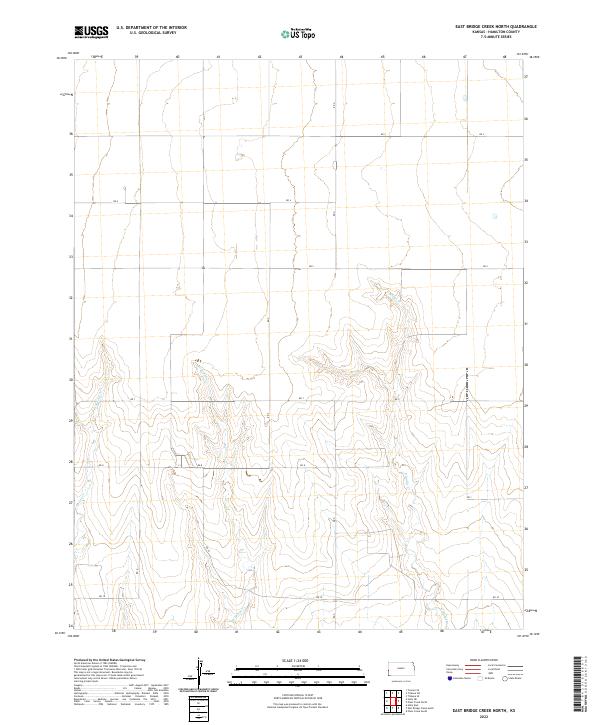 2022 East Bridge Creek North2022 Print · USGSHamilton County, Kansas, is shown here in its modern agricultural layout, structured by the long-standing section lines of the western plains. Genealogists and historians can trace property boundaries and rural travel routes like Rd 7 and the courses of W Bridge Cr and Spring Cr.
 - 2022 Map of Tribune SE, 2022 Print
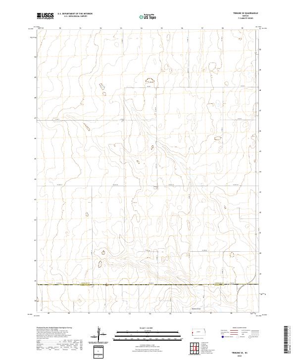 2022 Tribune SE2022 Print · USGSGreeley and Hamilton counties meet in this western Kansas landscape during the early twenty-first century. Genealogists and local historians can trace the precise section-line boundaries and rural road network, including Mattox Draw and Co Rd EE.
 - 2022 Map of Plum Creek South, 2022 Print
 2022 Plum Creek South2022 Print · USGSHamilton County's high plains landscape is captured in the early 2020s, showing the intersection of natural drainage and modern irrigation. Genealogists and historians can trace the paths of Alamo Ditch, Plum Cr, and the Arkansas River across this agricultural grid.
 - 2022 Map of Shirley Creek, 2022 Print
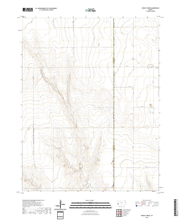 2022 Shirley Creek2022 Print · USGSThe western Kansas prairie comes into focus at the start of the 2020s, centered on the boundary between Hamilton Co and Kearny Co. Trace the section-line road network along Co Rd 13 and Co Rd Y to understand the modern ranching and farming landscape.
 - 2022 Map of North of Shirley Creek, 2022 Print
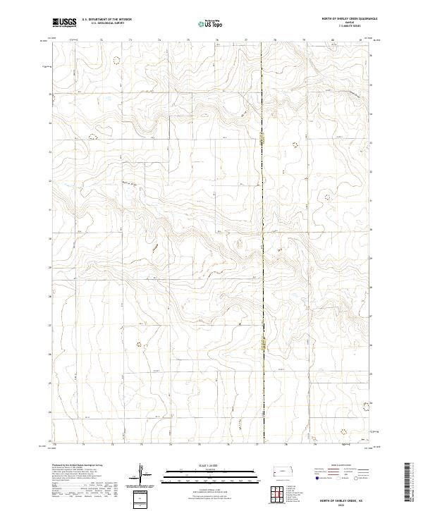 2022 North of Shirley Creek2022 Print · USGSThe High Plains border of Hamilton and Kearny counties is shown here in the early 2020s, defined by its vast agricultural grid. Researchers can trace rural drainage patterns and section lines through Mattox Draw, James Draw, and CO RD 9.
 - 2022 Map of Selkirk SE, 2022 Print
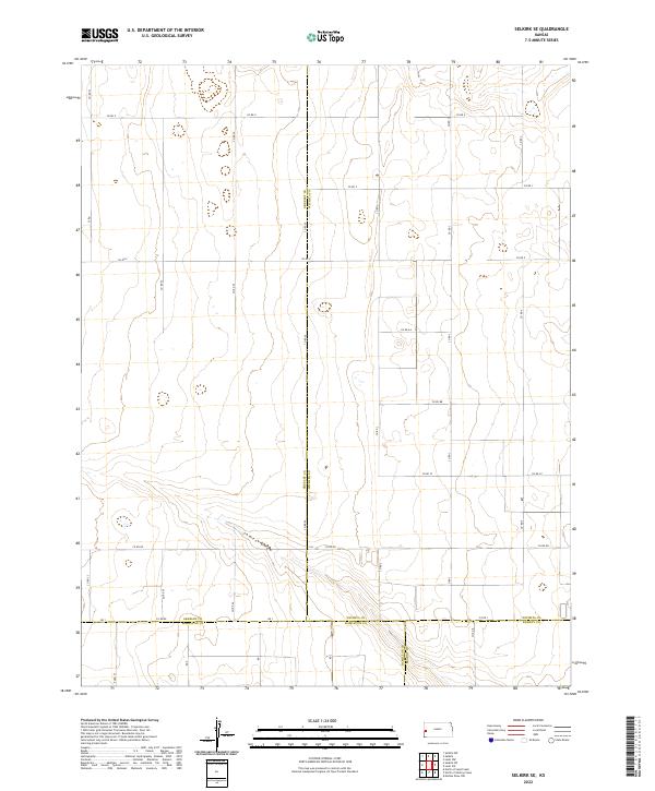 2022 Selkirk SE2022 Print · USGSWestern Kansas rangeland meets the intersection of four counties in the early twenty-first century. Researchers can trace the section-line road network and drainage patterns of James Draw or locate the jurisdictional corners of Greeley and Wichita counties.
Showing maps 1-25 of 30
Top cities of Hamilton County
Frequently asked questions
- What are the different types of historical maps available for Hamilton County?
- What is the oldest map of Hamilton County?
- Where can I purchase historical maps of Hamilton County for my home or office?
- Where can I download high-res historical maps of Hamilton County?
- Are there historical topographic maps available for Hamilton County?
- Is there historical aerial imagery available for Hamilton County?
- Where are historical maps of Hamilton County sourced from?