1960s Maps of Hamilton County, Kansas
Explore 20 historic maps of Hamilton County from the 1960s. These maps offer a rare glimpse into what life looked like during the 1960s — showing old roads, neighborhoods, homes, and landmarks that have changed or disappeared over time.
Whether you're researching your family's past, planning a metal detecting trip, or studying how Hamilton County's landscape evolved across the 1960s, these high-resolution maps are a powerful tool for exploring the history of this region.
- Focus on a specific era: All maps on this page are from the 1960s, giving you a focused view of this time period.
- See what’s changed: Compare century-old streets, trails, and buildings to today's modern landscape using overlays and satellite layers.
- Research with precision: Use these maps for genealogy, historical research, land use analysis, or educational projects.
- View, download, or print: Maps are fully viewable online in high resolution, and can be downloaded or printed for your own records.
Start exploring Hamilton County's history through authentic maps from the 1960s. This is your window into the past.
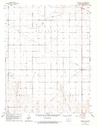
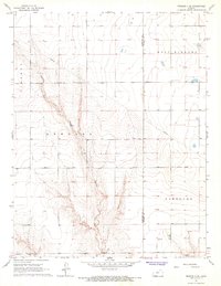
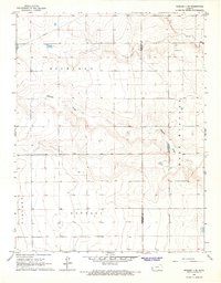
Hamilton County, KS maps
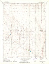
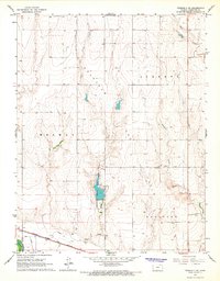
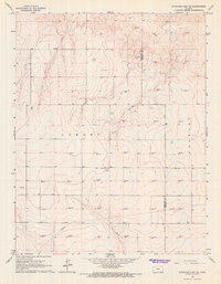
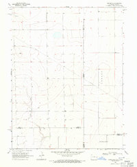
(20)- 1966 Map of Syracuse West SW, 1967 Print
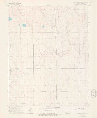 1966 Syracuse West SW1967 Print · USGSHamilton County, Kansas, is captured in the mid-1960s when high-plains agriculture and resource extraction shaped the local landscape. Researchers can locate the Bear Creek Cem, trace the course of North Bear Creek, and find the isolated School No C-2.
 - 1966 Map of Syracuse East SW, 1967 Print
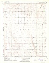 1966 Syracuse East SW1967 Print · USGSHamilton County agricultural lands and early energy development are captured here during the mid-sixties. Genealogists and local historians can locate rural landmarks such as Ebenflure Ch, the nearby Cem, and industrial Gas Well sites.
 - 1966 Map of Tribune 3 SW, 1967 Print
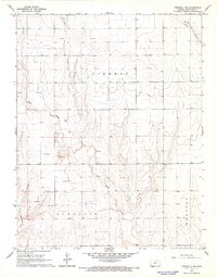
 1966 Tribune 3 SW1967 Print · USGSWestern Kansas at the height of the mid-sixties reveals a landscape defined by the Arkansas River and its irrigation history. Researchers can trace the path of the Atchison Topeka and Santa Fe railroad and find the old Coolidge Cem and Medway settlement.2 unique versions available
 - 1966 Map of Syracuse East, 1967 Print
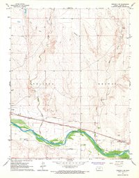
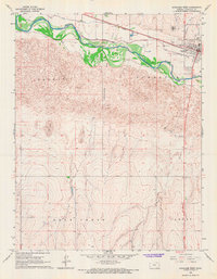
 1966 Syracuse East1967 Print · USGSHamilton County in the mid-sixties reveals a river valley defined by heavy rail and irrigation. Genealogists and historians can trace the grid of Syracuse, locate the rail siding at Mayline, and study the expansive Shifting Sand dunes south of the Arkansas River.
 - 1966 Map of Durkee Creek NE, 1967 Print
 1966 Durkee Creek NE1967 Print · USGSThe high plains of the Prowers and Hamilton county line appear in the mid-1960s, showing the quiet landscape along the Colorado-Kansas border. Researchers can trace land use patterns through the Canal system, the flow of Bear Creek, and numerous rural wells.
 - 1966 Map of Syracuse West SE, 1967 Print
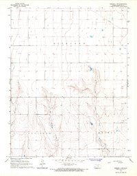
 1966 Syracuse West SE1967 Print · USGSHamilton County was a landscape of wide-open High Plains and winding creek beds in the mid-1960s. Genealogists and local historians can trace the paths of Bear Creek and Little Bear Creek or locate early industrial sites like the Oil Well and local Sandpit.
 - 1966 Map of Syracuse West, 1967 Print
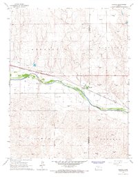
 1966 Syracuse West1967 Print · USGSWestern Kansas irrigation and commerce are well-defined in the 1960s as the river corridor meets the high plains. Researchers can trace the path of the Atchison Topeka and Santa Fe railroad alongside the Alamo Ditch and the historic Syracuse Cemetery.
 - 1966 Map of Tribune 4 NW, 1967 Print
 1966 Tribune 4 NW1967 Print · USGSHamilton County townships show their mid-century character during this era of rural infrastructure growth and energy exploration. Genealogists and historians can trace the paths of Mattox Draw or locate regional landmarks like the Dykeman Airport and early Gas Wells.2 unique versions available
 - 1966 Map of Syracuse West NW, 1967 Print
 1966 Syracuse West NW1967 Print · USGSHamilton County in the mid-1960s reveals a prairie landscape of active dunes and rural infrastructure. Genealogists and historians can locate the Sunnyvale Cem or trace industrial markers like the local Oil Well and Pipeline through Coolidge.
 - 1966 Map of Tribune 3 SE, 1967 Print
 1966 Tribune 3 SE1967 Print · USGSHamilton County in the mid-1960s exhibits a landscape of river-bottom irrigation and high plains grazing. Trace the historical path of the Atchison Topeka and Santa Fe railroad as it skirts the Arkansas River near Alamo Ditch.2 unique versions available
 - 1966 Map of Durkee Creek SE, 1967 Print
 1966 Durkee Creek SE1967 Print · USGSThe Colorado-Kansas state line at the edge of Prowers and Hamilton counties is captured here in the mid-1960s. Genealogists and researchers can trace the drainages of Bear Creek and Dry Creek or locate the remote Garder Cem and various landmark Wells.
 - 1966 Map of Tribune 3 NE, 1967 Print
 1966 Tribune 3 NE1967 Print · USGSHamilton County, Kansas, is captured in the mid-1960s during a period of rural industrial growth and agricultural surveying. Genealogists and researchers can trace local land divisions like Bradshaw or find specific landmarks such as Lewis Airport and the regional Gas Field.2 unique versions available
 - 1966 Map of Tribune 4 SE, 1967 Print
 1966 Tribune 4 SE1967 Print · USGSHamilton and Kearny Counties appear in the mid-1960s as a landscape of broad township divisions and prairie drainage. Researchers can locate specific sites such as the Community Hall, trace the path of Shirley Creek, and identify early energy infrastructure like the Gas Well.2 unique versions available
 - 1966 Map of Tribune 4 NE, 1967 Print
 1966 Tribune 4 NE1967 Print · USGSHamilton and Kearny Counties appear in the mid-1960s as a landscape of wide-open ranching and farming operations. Researchers can trace the drainage of James Draw and Mattox Draw or locate landmarks like the Landing Strip and the cross-county Pipeline.2 unique versions available
 - 1966 Map of Tribune 4 SW, 1967 Print
 1966 Tribune 4 SW1967 Print · USGSHamilton County in the mid-1960s shows a landscape of energy production and high plains drainage. Trace the development of local infrastructure at Dikeman Airport and numerous Gas Well sites throughout Syracuse.2 unique versions available
 - 1966 Map of Kendall, 1967 Print
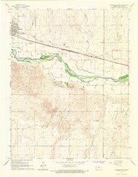
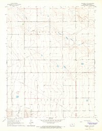
 1966 Kendall1967 Print · USGSHamilton County in the mid-1960s shows a landscape of river-valley agriculture and emerging energy development. Trace family roots and local history along the Atchison Topeka and Santa Fe rail line or near Kendall and the Kendall Cem.
 - 1966 Map of Syracuse East SE, 1967 Print
 1966 Syracuse East SE1967 Print · USGSThe High Plains of western Kansas are captured here during a mid-century period of significant energy development and rural community life. Researchers can trace the local landscape through the Menno Cemetery, the Community Hall, and dozens of industrial Gas Wells.
 - 1966 Map of Tribune 3 NW, 1967 Print
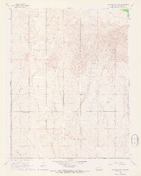
 1966 Tribune 3 NW1967 Print · USGSHamilton County in the mid-1960s shows a landscape of cattle ranching and early energy development. Trace the remnants of the Amity Canal (Abandoned) or locate isolated landmarks like the Ford on West Bridge Creek.2 unique versions available
 - 1968 Map of La Junta
 1968 La Junta1968 Print · USGSSoutheastern Colorado and the high plains appear in remarkable detail during the late 1960s, showing the intersection of irrigation, ranching, and rail. Genealogists can trace family footprints at the Lycan Post Office, Konantz Cem, and across numerous named cattle ranches.
 - 1968 Map of Towner SE, 1971 Print
 1968 Towner SE1971 Print · USGSThe high plains along the Colorado-Kansas border are captured here in the late sixties, showing the vast township divisions of the prairie. Local researchers can trace the course of Wild Horse Creek and locate early infrastructure like the cross-country Pipeline and named tracts like Richland.
End of results
Showing maps 1-20 of 20
Top cities of Hamilton County
Frequently asked questions
- What are the different types of historical maps available for Hamilton County?
- What is the oldest map of Hamilton County?
- Where can I purchase historical maps of Hamilton County for my home or office?
- Where can I download high-res historical maps of Hamilton County?
- Are there historical topographic maps available for Hamilton County?
- Is there historical aerial imagery available for Hamilton County?
- Where are historical maps of Hamilton County sourced from?