
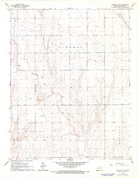
1966 Map of Tribune 4 NW
USGS Topo · Published 1967About this map
Richland and Liberty townships define this Western Kansas landscape, characterized by the intermittent drainage of Mattox Draw as it meanders through the high plains. The mid-1960s survey reveals a region defined by agricultural parcels and early energy infrastructure, with several Gas Wells scattered across the southern portion of the quadrangle. In the southwestern corner, the Dykeman Airport provides a point of aviation interest in an otherwise rural setting. A prominent Pipeline corridor cuts diagonally across the terrain, illustrating the industrial expansion into Hamilton County during this era. This survey is a precise record of the land divisions and minor landmarks that supported the local ranching and energy economy before further modern development.
Find a feature on this map
8 named features on this map. Tap any name to fly to it.
Don’t see what you’re looking for? This feature index may not catch every label — zoom into the map to look around manually.
Map Details
Editions of this 1966 Tribune 4 NW Map
2 editions found
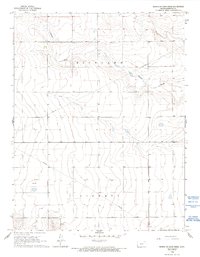
Other maps of this area

1955 · Scott City
USGS Topo · 1:250,000

1958 · Scott City
USGS Topo · 1:250,000
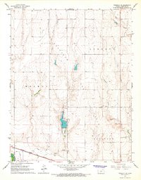
1966 · Tribune 3 SE
USGS Topo · 1:24,000
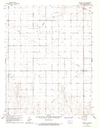
1966 · Tribune 3 NE
USGS Topo · 1:24,000
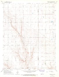
1966 · Tribune 4 SE
USGS Topo · 1:24,000

1966 · Tribune 4 NE
USGS Topo · 1:24,000
1966 · Tribune 4 SW
USGS Topo · 1:24,000

1970 · Selkirk SW
USGS Topo · 1:24,000

1970 · Selkirk SE
USGS Topo · 1:24,000

1970 · Tribune SE
USGS Topo · 1:24,000