1970s Maps of Hamilton County, Kansas
Explore 7 historic maps of Hamilton County from the 1970s. These maps offer a rare glimpse into what life looked like during the 1970s — showing old roads, neighborhoods, homes, and landmarks that have changed or disappeared over time.
Whether you're researching your family's past, planning a metal detecting trip, or studying how Hamilton County's landscape evolved across the 1970s, these high-resolution maps are a powerful tool for exploring the history of this region.
- Focus on a specific era: All maps on this page are from the 1970s, giving you a focused view of this time period.
- See what’s changed: Compare century-old streets, trails, and buildings to today's modern landscape using overlays and satellite layers.
- Research with precision: Use these maps for genealogy, historical research, land use analysis, or educational projects.
- View, download, or print: Maps are fully viewable online in high resolution, and can be downloaded or printed for your own records.
Start exploring Hamilton County's history through authentic maps from the 1970s. This is your window into the past.
Hamilton County, KS maps
(7)- 1970 Map of Selkirk SW, 1971 Print
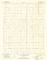 1970 Selkirk SW1971 Print · USGSGreeley and Hamilton counties meet in this western Kansas landscape surveyed during the late 1960s. Researchers can trace the section-line roads and administrative divisions of Harrison and Richland townships across this high plains terrain.
 - 1970 Map of Selkirk SE, 1971 Print
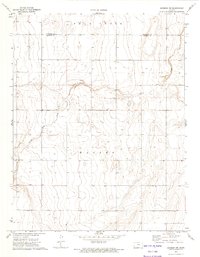
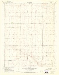 1970 Selkirk SE1971 Print · USGSFour Kansas counties converge in the High Plains during the early seventies, revealing a landscape of large-scale agriculture and early energy development. Genealogists and historians can locate a rural Cem and trace the paths of a Pipeline and scattered Oil Wells.
 - 1970 Map of Tribune SE, 1972 Print
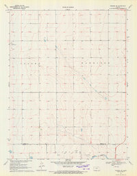 1970 Tribune SE1972 Print · USGSGreeley and Hamilton counties are captured here in the early 1970s, showcasing a landscape of high plains agriculture and energy development. Researchers can trace township lines across Colony and Harrison or locate landmarks like Tuttle Landing Field and Mattox Draw.
 - 1970 Map of Tribune SW, 1972 Print
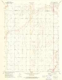
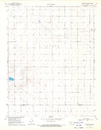 1970 Tribune SW1972 Print · USGSThe High Plains of Western Kansas are captured here at the start of the 1970s, showing a landscape defined by industrial infrastructure and remote aviation. Researchers can trace the path of a major Pipeline and locate the rural Tuttle Landing Field.
 - 1971 Map of Lycan NE, 1973 Print
 1971 Lycan NE1973 Print · USGSThe Colorado-Kansas borderlands in the early seventies reveal a landscape of isolated prairie settlements and ranching infrastructure. Trace family history at the Amerine Cem or follow the drainage of North Bear Creek and Little Bear Creek.
 - 1973 Map of Johnson NW, 1975 Print
 1973 Johnson NW1975 Print · USGSWestern Kansas at the start of the 1970s shows a landscape defined by the drainage of Bear Creek and the township grid. Researchers can trace the border of Hamilton Co and Stanton Co while locating landmarks like Meador.
 - 1973 Map of Johnson NE, 1975 Print
 1973 Johnson NE1975 Print · USGSWestern Kansas rangeland and early 1970s water infrastructure are visible in this survey of the Hamilton and Stanton County border. Researchers can locate specific property markers like BM Hellwig, the small airfield at Cockrum Airport, and the settlement of Parks.
End of results
Showing maps 1-7 of 7
Top cities of Hamilton County
Frequently asked questions
- What are the different types of historical maps available for Hamilton County?
- What is the oldest map of Hamilton County?
- Where can I purchase historical maps of Hamilton County for my home or office?
- Where can I download high-res historical maps of Hamilton County?
- Are there historical topographic maps available for Hamilton County?
- Is there historical aerial imagery available for Hamilton County?
- Where are historical maps of Hamilton County sourced from?