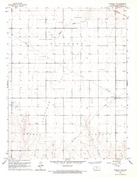
1966 Map of Tribune 3 NE
USGS Topo · Published 1967About this map
Gas Field operations define the landscape of eastern Hamilton County in the mid-1960s, evidenced by a network of pipelines cutting across the High Plains terrain. The area is divided into large surveying blocks including Richland, Bradshaw, Medway, and Liberty, reflecting the systematic agricultural and mineral organization of western Kansas. Aviation and communication infrastructure is present at the Lewis Airport and nearby Radio Towers, which stand alongside a Pumping Station in the eastern portion of the sheet. Natural drainage is dictated by seasonal watercourses such as Mattox Draw, Plum Creek, and Sand Creek, which carve subtle depressions into the otherwise steady elevation of the prairie. The map captures the region during a period of active resource extraction and infrastructure development, providing a clear record of land use before modern technological shifts altered the rural landscape.
Find a feature on this map
12 named features on this map. Tap any name to fly to it.
Don’t see what you’re looking for? This feature index may not catch every label — zoom into the map to look around manually.
Map Details
Editions of this 1966 Tribune 3 NE Map
2 editions found
Other maps of this area

1955 · Scott City
USGS Topo · 1:250,000

1958 · Scott City
USGS Topo · 1:250,000
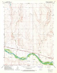
1966 · Tribune 3 SW
USGS Topo · 1:24,000

1966 · Tribune 4 NW
USGS Topo · 1:24,000
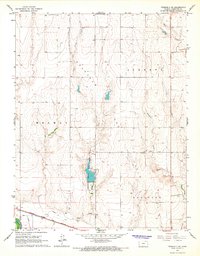
1966 · Tribune 3 SE
USGS Topo · 1:24,000
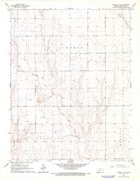
1966 · Tribune 4 SW
USGS Topo · 1:24,000
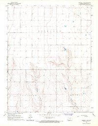
1966 · Tribune 3 NW
USGS Topo · 1:24,000

1970 · Selkirk SW
USGS Topo · 1:24,000

1970 · Tribune SE
USGS Topo · 1:24,000
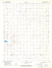
1970 · Tribune SW
USGS Topo · 1:24,000