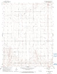
1966 Map of Plum Creek North
USGS Topo · Published 1993About this map
Richland Gas Field defines the industrial character of this landscape in western Kansas, where a network of subterranean energy infrastructure was being established in the mid-1960s. The terrain is marked by the subtle drainage patterns of Plum Creek, Mattox Draw, and Sand Creek, which cut through the townships of Bradshaw, Medway, and Liberty. This period of development is evidenced by the prominent Pipeline corridors cutting diagonally across the section lines, supported by a central Pumping Station and nearby Radio Towers. Local aviation is represented by Lewis Airport, a small facility situated among the section-line roads and open plains. The map reveals a transition toward organized natural gas extraction while maintaining the traditional grid of rural land divisions characteristic of the High Plains.
Find a feature on this map
11 named features on this map. Tap any name to fly to it.
Don’t see what you’re looking for? This feature index may not catch every label — zoom into the map to look around manually.
Map Details
Editions of this 1966 Plum Creek North Map
2 editions found
Other maps of this area

1955 · Scott City
USGS Topo · 1:250,000

1958 · Scott City
USGS Topo · 1:250,000
1966 · Tribune 3 SW
USGS Topo · 1:24,000

1966 · Tribune 4 NW
USGS Topo · 1:24,000
1966 · Tribune 3 SE
USGS Topo · 1:24,000
1966 · Tribune 3 NE
USGS Topo · 1:24,000
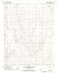
1966 · Tribune 4 SW
USGS Topo · 1:24,000
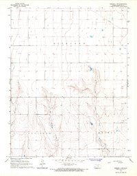
1966 · Tribune 3 NW
USGS Topo · 1:24,000

1970 · Selkirk SW
USGS Topo · 1:24,000

1970 · Tribune SE
USGS Topo · 1:24,000