2000s (21st Century) Maps of De Soto, Kansas
Explore 25 historic maps of De Soto from the 2000s (21st Century). These maps offer a rare glimpse into what life looked like during the 2000s — showing old roads, neighborhoods, homes, and landmarks that have changed or disappeared over time.
Whether you're researching your family's past, planning a metal detecting trip, or studying how De Soto's landscape evolved across the 2000s, these high-resolution maps are a powerful tool for exploring the history of this region.
- Focus on a specific era: All maps on this page are from the 2000s, giving you a focused view of this time period.
- See what’s changed: Compare century-old streets, trails, and buildings to today's modern landscape using overlays and satellite layers.
- Research with precision: Use these maps for genealogy, historical research, land use analysis, or educational projects.
- View, download, or print: Maps are fully viewable online in high resolution, and can be downloaded or printed for your own records.
Start exploring De Soto's history through authentic maps from the 2000s. This is your window into the past.
De Soto, KS maps
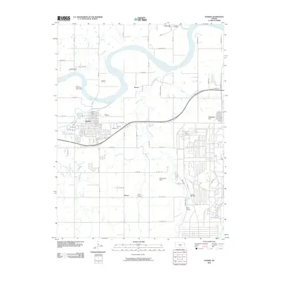
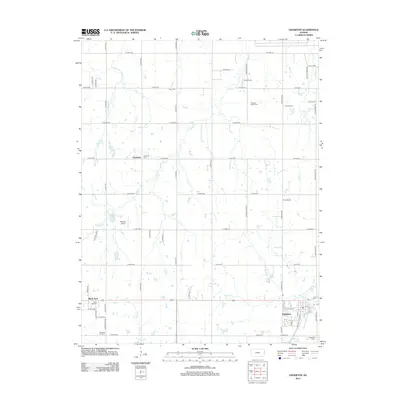
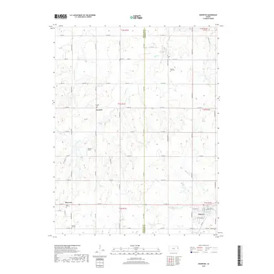
(25)- 2009 Map of Edgerton, 2009 Print
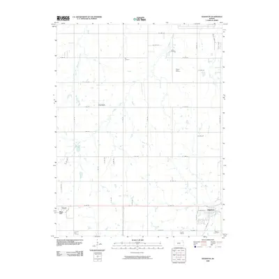 2009 Edgerton2009 Print · USGSCovers De Soto, including Edgerton, Black Jack, and other nearby areas
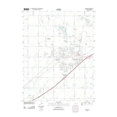
 - 2009 Map of Gardner, 2009 Print
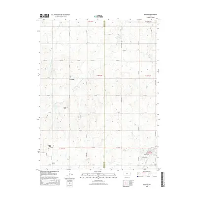
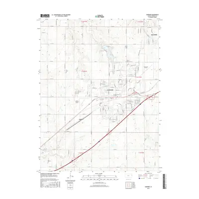
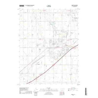
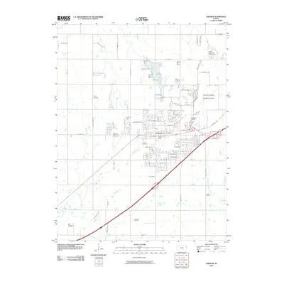 2009 Gardner2009 Print · USGSCovers De Soto, including Olathe, Gardner, and other nearby areas
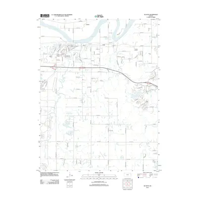
 - 2009 Map of De Soto, 2009 Print
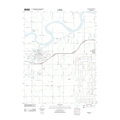
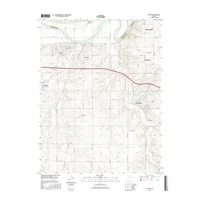
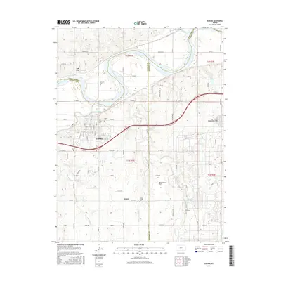
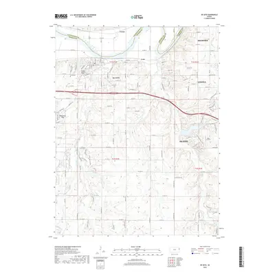
 2009 De Soto2009 Print · USGSCovers De Soto, including Olathe, Shawnee, and other nearby areas
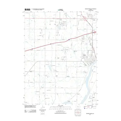
 - 2009 Map of Bonner Springs, 2009 Print
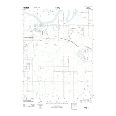
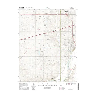
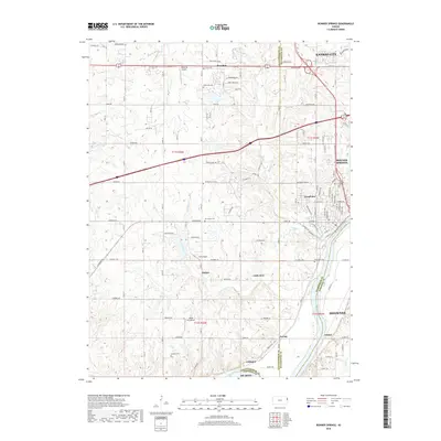
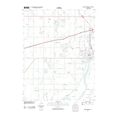 2009 Bonner Springs2009 Print · USGSCovers De Soto, including Kansas City, Shawnee, and other nearby areas
 - 2009 Map of Eudora, 2009 Print
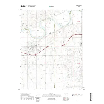
 2009 Eudora2009 Print · USGSCovers De Soto, including Eudora, Linwood, and other nearby areas
 - 2012 Map of Gardner, 2012 Print
 2012 Gardner2012 Print · USGSCovers De Soto, including Olathe, Gardner, and other nearby areas
 - 2012 Map of De Soto, 2012 Print
 2012 De Soto2012 Print · USGSCovers De Soto, including Olathe, Shawnee, and other nearby areas
 - 2012 Map of Bonner Springs, 2012 Print
 2012 Bonner Springs2012 Print · USGSCovers De Soto, including Kansas City, Shawnee, and other nearby areas
 - 2012 Map of Eudora, 2012 Print
 2012 Eudora2012 Print · USGSCovers De Soto, including Eudora, Linwood, and other nearby areas
 - 2012 Map of Edgerton, 2012 Print
 2012 Edgerton2012 Print · USGSCovers De Soto, including Edgerton, Black Jack, and other nearby areas
 - 2015 Map of Bonner Springs, 2015 Print
 2015 Bonner Springs2015 Print · USGSCovers De Soto, including Kansas City, Shawnee, and other nearby areas
 - 2015 Map of Edgerton, 2015 Print
 2015 Edgerton2015 Print · USGSCovers De Soto, including Edgerton, Black Jack, and other nearby areas
 - 2015 Map of De Soto, 2015 Print
 2015 De Soto2015 Print · USGSCovers De Soto, including Olathe, Shawnee, and other nearby areas
 - 2015 Map of Gardner, 2015 Print
 2015 Gardner2015 Print · USGSCovers De Soto, including Olathe, Gardner, and other nearby areas
 - 2015 Map of Eudora, 2015 Print
 2015 Eudora2015 Print · USGSCovers De Soto, including Eudora, Linwood, and other nearby areas
 - 2018 Map of Bonner Springs, 2018 Print
 2018 Bonner Springs2018 Print · USGSCovers De Soto, including Kansas City, Shawnee, and other nearby areas
 - 2018 Map of Edgerton, 2018 Print
 2018 Edgerton2018 Print · USGSCovers De Soto, including Edgerton, Black Jack, and other nearby areas
 - 2018 Map of De Soto, 2018 Print
 2018 De Soto2018 Print · USGSCovers De Soto, including Olathe, Shawnee, and other nearby areas
 - 2018 Map of Gardner, 2018 Print
 2018 Gardner2018 Print · USGSCovers De Soto, including Olathe, Gardner, and other nearby areas
 - 2018 Map of Eudora, 2018 Print
 2018 Eudora2018 Print · USGSCovers De Soto, including Eudora, Linwood, and other nearby areas
 - 2022 Map of Edgerton, 2022 Print
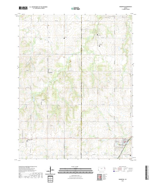 2022 Edgerton2022 Print · USGSThe Douglas and Johnson County line runs through this prairie landscape as it appeared in recent years. Genealogists can locate several rural burial grounds, including Pleasant Valley Cem and Clearfield Cem, near the settlement of Edgerton.
 - 2022 Map of Gardner, 2022 Print
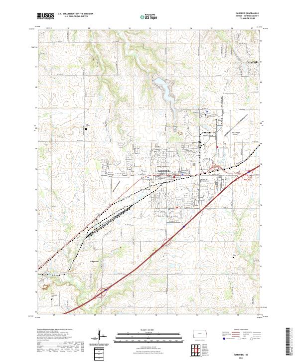 2022 Gardner2022 Print · USGSJohnson County is captured in a period of suburban growth and aviation expansion southwest of Kansas City. Researchers can trace the heritage of Gardner and Edgerton while locating local landmarks like Gardner Cem and the New Century Aircenter.
 - 2022 Map of Eudora, 2022 Print
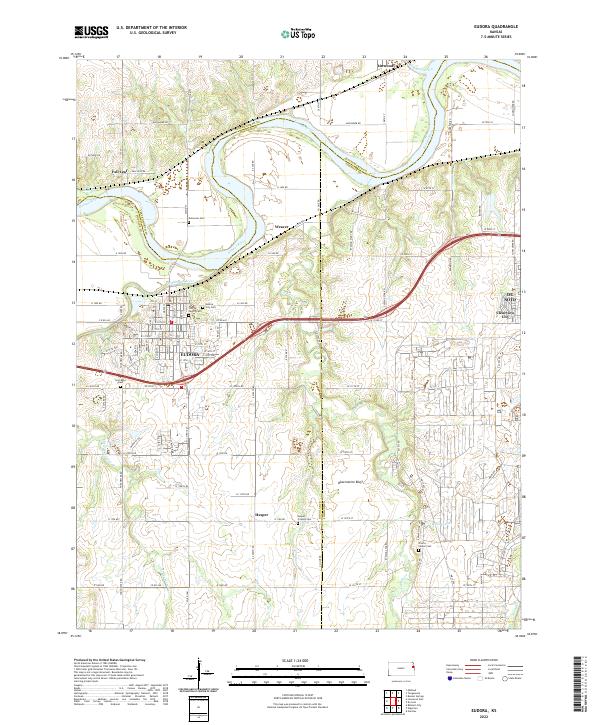 2022 Eudora2022 Print · USGSThe Kansas and Wakarusa Rivers meet at Eudora in this recent study of Douglas and Johnson Counties. Genealogists can trace family landmarks like Cem Beni Israel, Hesper Friends Cem, and the historic cemetery in Fall Leaf.
 - 2022 Map of Bonner Springs, 2022 Print
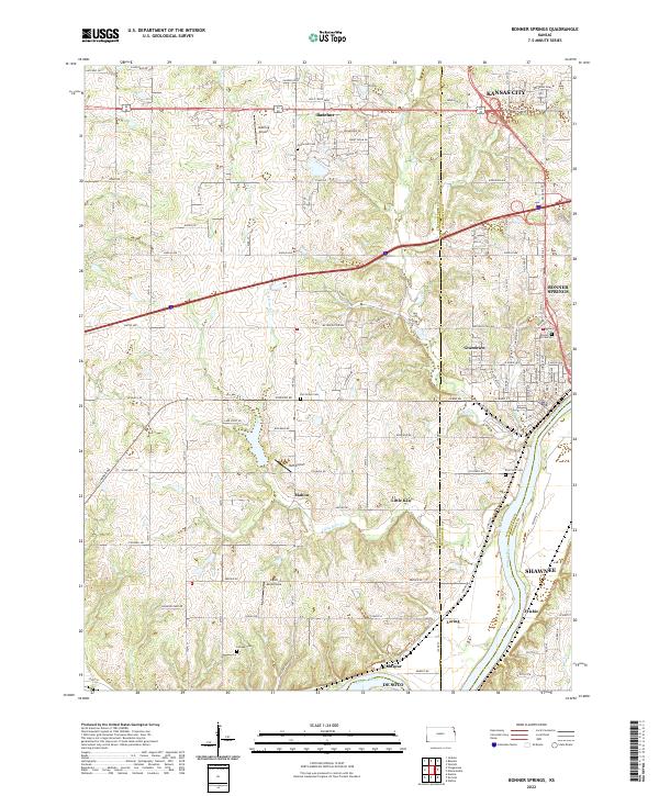 2022 Bonner Springs2022 Print · USGSThe Kansas River valley west of Kansas City appears here in its modern configuration, showing the intersection of growing suburbs and aviation history. Genealogists can trace family connections through Lenape Cem and Elm Grove Cem, or locate landmarks like Ingels Aerodrome.
 - 2022 Map of De Soto, 2022 Print
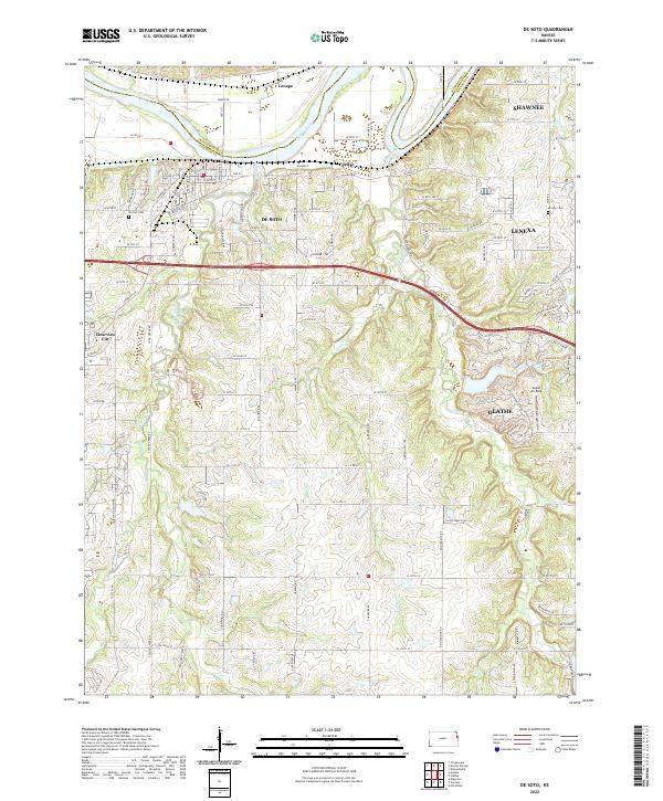 2022 De Soto2022 Print · USGSWestern Johnson County comes into focus as the suburban reach of Kansas City meets the Kansas River valley. Researchers can trace local lineage through De Soto Cem and Murphy Cem while exploring the evolving landscapes of De Soto and Lenexa.
End of results
Showing maps 1-25 of 25
Top cities near De Soto
- Kansas City historical maps
- Overland Park historical maps
- Kansas City historical maps
- Olathe historical maps
- Lawrence historical maps
- Shawnee historical maps
See more
Top neighborhoods of De Soto
- De Soto Junction historical maps
- Clearview City historical maps
- Cedar historical maps
- Coker Hill Estates historical maps
- Arbor Ridge historical maps
Frequently asked questions
- What are the different types of historical maps available for De Soto?
- What is the oldest map of De Soto?
- Where can I purchase historical maps of De Soto for my home or office?
- Where can I download high-res historical maps of De Soto?
- Are there historical topographic maps available for De Soto?
- Is there historical aerial imagery available for De Soto?
- Where are historical maps of De Soto sourced from?