Old Maps of Lenexa, Kansas for Academic Research
Study the evolution of Lenexa with 33 high-resolution historic maps. Whether you're teaching, researching, or modeling changes in land use, these maps provide essential visual documentation of urban, environmental, and geographic change.
- Analyze long-term change: Track patterns in development, transportation, and natural features.
- Ideal for environmental or urban studies: Support academic projects with primary historical map data.
- Use in the classroom or lab: Educators and researchers rely on these maps to bring historical context to life.
These maps are a powerful tool for teaching, research, and visualizing how Lenexa has changed over the decades.
Lenexa, KS maps
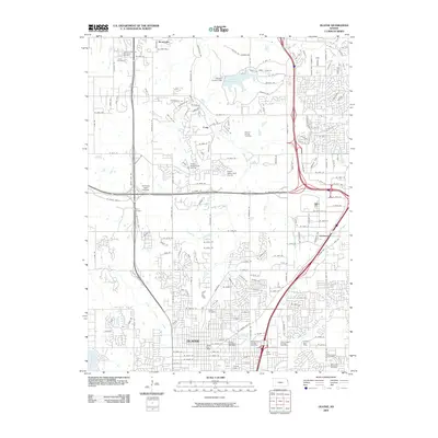
(33)- 1887 Map of Olathe
 1887 Olathe1887 Print · USGSEastern Kansas and the Missouri borderlands were being transformed by rail during the 1880s. Genealogists and historians can trace early town sites and railroad corridors like the Kansas City Clinton and Springfield Railroad and settlements from Lenexa to Osawatomie.
 - 1893 Map of Olathe
 1893 Olathe1893 Print · USGSThe Kansas-Missouri border thrived during the late nineteenth century as a hub for expanding railroads and prairie commerce. Genealogists and historians can trace the early rail networks and locate frontier settlements like New Santa Fe, Olathe, and Paola.6 unique versions available
 - 1935 Map of Olathe
 1935 Olathe1935 Print · USGSJohnson County was transitioning from a frontier rail hub to a modern agricultural center in the mid-1930s. Genealogists can trace family footprints through numerous rural school districts like Cherry Lane Sch and landmarks like the Summerfield Grange Hall.2 unique versions available
 - 1935 Map of Lenexa
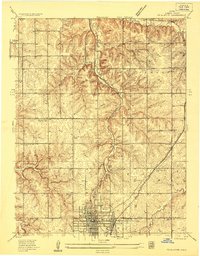
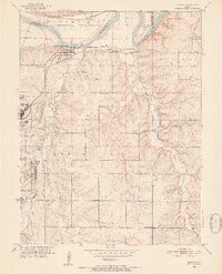
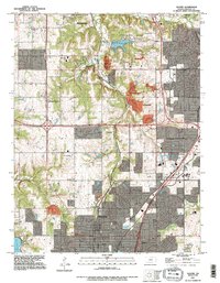
 1935 Lenexa1935 Print · USGSJohnson County during the mid-thirties reveals a landscape of expanding suburbs and rural school districts connected by the St Louis and San Francisco RR. Trace early neighborhood growth around Lenexa and Overland Park, or locate landmarks like the Mission Valley Hunt Club.2 unique versions available
 - 1943 Map of Lenexa
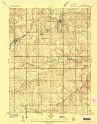
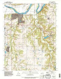
 1943 Lenexa1943 Print · USGSJohnson County was transitioning from a rural rail corridor to a suburban landscape in the years surrounding the Second World War. Researchers can trace early family-named school districts like Walnut Grove Sch and the grounds of the Mission Valley Hunt Club.2 unique versions available
 - 1943 Map of Olathe
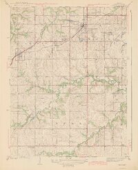
 1943 Olathe1943 Print · USGSJohnson County during the mid-1930s shows a landscape of rural schoolhouses and established rail corridors centered on the growing seat of Olathe. Genealogists and local historians can trace specific community landmarks from the Summerfield Grange Hall to various country schools like Shiloh Sch and Bethel Sch.3 unique versions available
 - 1947 Map of Lawrence, 1954 Print
 1947 Lawrence1954 Print · USGSEastern Kansas and western Missouri thrive in the late 1940s, showing a landscape defined by major river valleys and a dense railway network. Genealogists can trace family settlements from Lawrence to Greenwood and locate landmarks like Olathe Navy and Lake Lotawana.
 - 1950 Map of Lawrence
 1950 Lawrence1950 Print · USGSMid-century Kansas and Missouri come alive in this map of the river-valley corridors just as the interstate era was beginning. Researchers can trace the legacy of major rail lines like the Union Pacific RR and locate ancestral roots in towns from Lawrence to Harrisonville.
 - 1951 Map of De Soto, 1952 Print
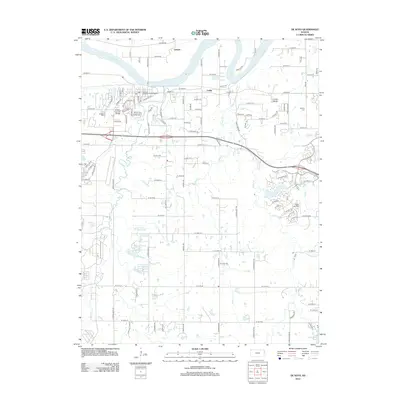
 1951 De Soto1952 Print · USGSDe Soto and the surrounding Kansas townships are captured here in the early fifties as the region's agricultural roots began to meet industrial expansion. Researchers can pinpoint the sprawling Sunflower Ordnance Works and several rural schools like Weaverly Sch and North Lone Elm Sch.6 unique versions available
 - 1956 Map of Olathe, 1958 Print
 1956 Olathe1958 Print · USGSMid-century Johnson County comes to life as Olathe begins to grow around its vital rail junctions. Genealogists and local historians can trace the locations of numerous country schools and landmarks like Grange Hall and Sunlight Sch.5 unique versions available
 - 1956 Map of Lawrence, 1967 Print
 1956 Lawrence1967 Print · USGSEastern Kansas and the Missouri border country are captured here during the mid-century transition to the interstate era. Genealogists and local historians can trace family-named terrain like Summers Mound and the footprint of Sunflower Ordnance Works near Baldwin City.4 unique versions available
 - 1957 Map of Lenexa, 1958 Print
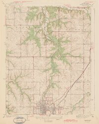
 1957 Lenexa1958 Print · USGSMid-century Johnson County comes to life as Overland Park and Prairie Village begin to expand into the surrounding townships. Genealogists can trace family landmarks and schools like St Anns Sch or locate the historic Santa Fe Trail alignment.
 - 1961 Map of Lawrence
 1961 Lawrence1961 Print · USGSThe Kansas-Missouri borderland shows its mid-century transition from a rail-dependent agricultural region to a suburbanizing landscape. Genealogists can trace family footprints through numerous Cem sites and distinctive terrain landmarks like Graves Mound and Summers Mound.
 - 1963 Map of Lenexa, 1964 Print
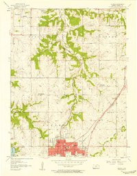
 1963 Lenexa1964 Print · USGSSuburban Johnson County is caught in a moment of significant growth during the early sixties as residential developments spread south of Overland Park. Researchers can trace the expansion of local schools like Countryside Sch and locate early landmarks such as the Drive-in Theater and Resurrection Cemetery.3 unique versions available
 - 1983 Map of Olathe, 1984 Print
 1983 Olathe1984 Print · USGSThe Kansas-Missouri borderlands hum with suburban growth and historic transit routes in the early eighties. Researchers can trace the Santa Fe Trail across a landscape featuring Richards-Gebaur Air Force Base and Hillsdale Lake.
 - 1991 Map of Lenexa, 1995 Print
 1991 Lenexa1995 Print · USGSJohnson County is shown in the midst of its late-century expansion, capturing the suburban transformation of Lenexa and Overland Park. Trace the development of local institutions like Johnson County Community College or the residential growth near Turkey Creek.
 - 1991 Map of Olathe, 1995 Print
 1991 Olathe1995 Print · USGSJohnson County was experiencing rapid suburban transformation during the 1990s as it grew around traditional hubs. Genealogists and historians can trace institutional sites like the State School For The Deaf and County Farm, alongside older locales like Monticello and Lackmans.
 - 1991 Map of De Soto, 1996 Print
 1991 De Soto1996 Print · USGSThe Kansas River valley near De Soto is captured here in the early nineties as suburban expansion began meeting the area's industrial past. Trace the massive Sunflower Ordnance Works facility, the Murphy Cem, and the winding course of Cedar Creek.
 - 2009 Map of De Soto, 2009 Print
 2009 De Soto2009 Print · USGSCovers Lenexa, including Olathe, Shawnee, and other nearby areas
 - 2009 Map of Lenexa, 2009 Print
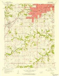
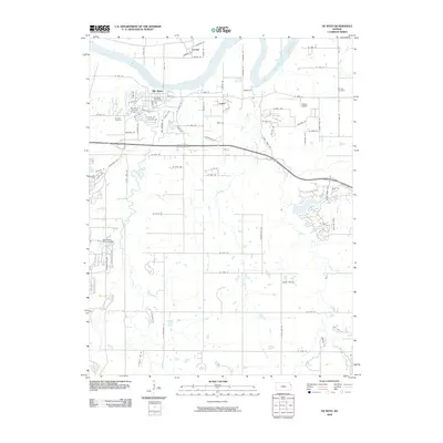
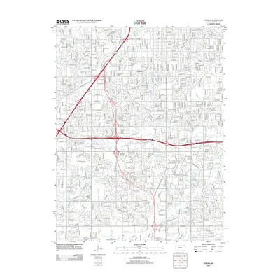
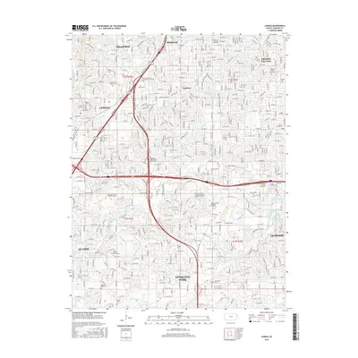
 2009 Lenexa2009 Print · USGSCovers Lenexa, including Overland Park, Olathe, and other nearby areas
 - 2009 Map of Olathe, 2009 Print
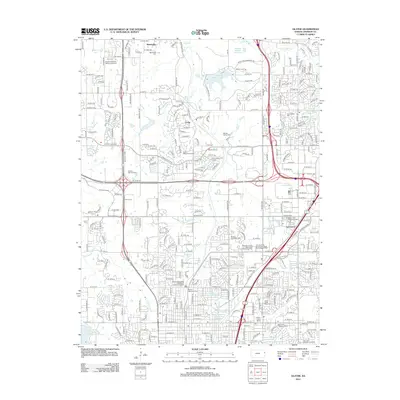
 2009 Olathe2009 Print · USGSCovers Lenexa, including Olathe, Shawnee, and other nearby areas
 - 2012 Map of Lenexa, 2012 Print
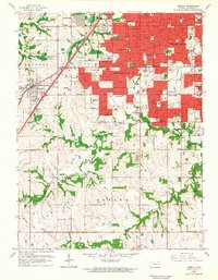
 2012 Lenexa2012 Print · USGSCovers Lenexa, including Overland Park, Olathe, and other nearby areas
 - 2012 Map of Olathe, 2012 Print
 2012 Olathe2012 Print · USGSCovers Lenexa, including Olathe, Shawnee, and other nearby areas
 - 2012 Map of De Soto, 2012 Print
 2012 De Soto2012 Print · USGSCovers Lenexa, including Olathe, Shawnee, and other nearby areas
 - 2015 Map of Lenexa, 2015 Print
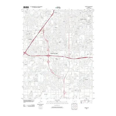
 2015 Lenexa2015 Print · USGSCovers Lenexa, including Overland Park, Olathe, and other nearby areas
Showing maps 1-25 of 33
Top cities near Lenexa
- Kansas City historical maps
- Overland Park historical maps
- Kansas City historical maps
- Olathe historical maps
- Shawnee historical maps
- Leawood historical maps
See more
Top neighborhoods of Lenexa
Frequently asked questions
- What are the different types of historical maps available for Lenexa?
- What is the oldest map of Lenexa?
- Where can I purchase historical maps of Lenexa for my home or office?
- Where can I download high-res historical maps of Lenexa?
- Are there historical topographic maps available for Lenexa?
- Is there historical aerial imagery available for Lenexa?
- Where are historical maps of Lenexa sourced from?