2020s Maps of Prairie Village, Kansas
Explore 4 historic maps of Prairie Village from the 2020s. These maps offer a rare glimpse into what life looked like during the 2020s — showing old roads, neighborhoods, homes, and landmarks that have changed or disappeared over time.
Whether you're researching your family's past, planning a metal detecting trip, or studying how Prairie Village's landscape evolved across the 2020s, these high-resolution maps are a powerful tool for exploring the history of this region.
- Focus on a specific era: All maps on this page are from the 2020s, giving you a focused view of this time period.
- See what’s changed: Compare century-old streets, trails, and buildings to today's modern landscape using overlays and satellite layers.
- Research with precision: Use these maps for genealogy, historical research, land use analysis, or educational projects.
- View, download, or print: Maps are fully viewable online in high resolution, and can be downloaded or printed for your own records.
Start exploring Prairie Village's history through authentic maps from the 2020s. This is your window into the past.
Prairie Village, KS maps
(4)- 2021 Map of Grandview, 2021 Print
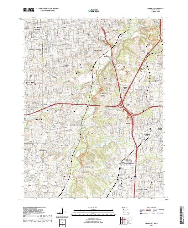 2021 Grandview2021 Print · USGSSuburban development and commemorative landscapes define this portion of the Kansas City metro. Genealogists can trace family sites at Memorial Park Cem, Ridge Cem, and the historic New Santa Fe area.
 - 2021 Map of Kansas City, 2021 Print
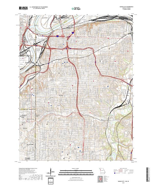 2021 Kansas City2021 Print · USGSKansas City at the start of the 2020s shows the enduring layout of its historic neighborhoods and industrial riverfronts. Researchers can trace family sites at Union Cem or explore the development of areas like Westport and North Kansas City.
 - 2022 Map of Shawnee, 2022 Print
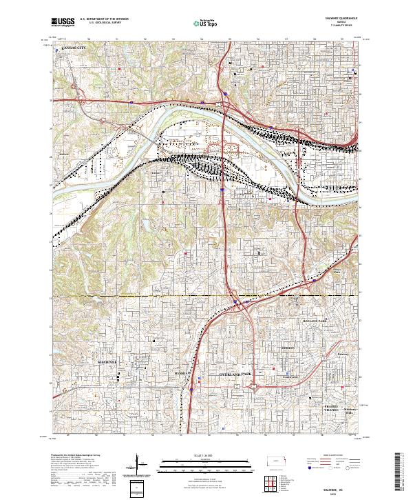 2022 Shawnee2022 Print · USGSThe Kansas City suburbs and riverfront come into focus in the early 2020s, showing a landscape defined by industrial rail corridors and historic burial grounds. Researchers can trace deep local roots at the Huron Indian Cem, Tensquatawa Burial Ground, and the Wyandotte County Courthouse.
 - 2022 Map of Lenexa, 2022 Print
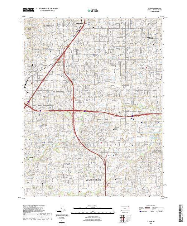 2022 Lenexa2022 Print · USGSJohnson County is shown here during a period of significant suburban maturity and institutional growth. Researchers can trace local history through several legacy sites, including the Strang Mausoleum, Antioch Cem, and the old settlement of Elmhurst.
End of results
Showing maps 1-4 of 4
Top cities near Prairie Village
- Kansas City historical maps
- Overland Park historical maps
- Kansas City historical maps
- Olathe historical maps
- Independence historical maps
- Lee's Summit historical maps
See more
Frequently asked questions
- What are the different types of historical maps available for Prairie Village?
- What is the oldest map of Prairie Village?
- Where can I purchase historical maps of Prairie Village for my home or office?
- Where can I download high-res historical maps of Prairie Village?
- Are there historical topographic maps available for Prairie Village?
- Is there historical aerial imagery available for Prairie Village?
- Where are historical maps of Prairie Village sourced from?