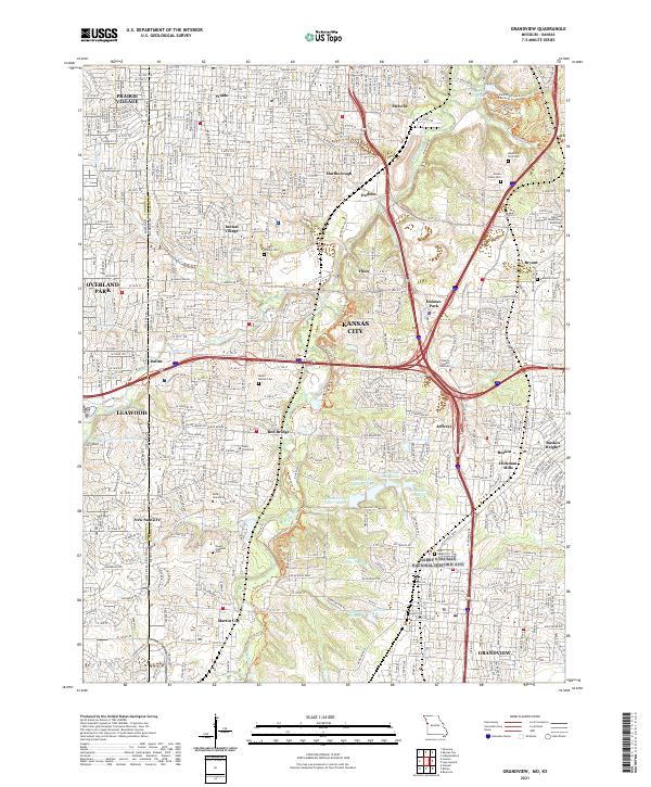
2021 Map of Grandview
USGS Topo · Published 2021About this map
The Harry S Truman National Historic Site anchors the southern portion of this landscape, reflecting the suburban and historical complexity of the Kansas City area. The map documents the dense suburban development of Grandview and Hickman Mills alongside significant commemorative spaces like Memorial Park Cem and Mount Moriah Cem. The drainage of the Blue River and Indian Creek shapes the local topography, creating a corridor for parks and golf courses that contrast with the gridded residential streets of Waldo and Marlborough.
Find a feature on this map
208 named features on this map. Tap any name to fly to it.
Don’t see what you’re looking for? This feature index may not catch every label — zoom into the map to look around manually.
Map Details
Editions of this 2021 Grandview Map
This is the sole edition of this map. No revisions or reprints were ever made.
Other maps of this area

1887 · Harrisonville
USGS Topo · 1:125,000

1887 · Olathe
USGS Topo · 1:125,000

1890 · Kansas City
USGS Topo · 1:125,000

1892 · Harrisonville
USGS Topo · 1:125,000

1893 · Olathe
USGS Topo · 1:125,000

1894 · Kansas City
USGS Topo · 1:125,000

1894 · Harrisonville
USGS Topo · 1:125,000

1894 · Independence
USGS Topo · 1:125,000

1934 · Independence
USGS Topo · 1:24,000

1934 · Grandview
USGS Topo · 1:24,000