Old Maps of Kingman, Kansas
Explore 23 old maps of Kingman, spanning from 1892 to today. These high-resolution historic maps reveal how streets, neighborhoods, landmarks, and natural features evolved over time — perfect for genealogy, metal detecting, research, and local history exploration.
What you can do with these maps:
- See how Kingman changed over time: Compare historical maps to modern-day views to trace roads, homesites, rail lines & more.
- View detailed metadata: Each map includes creators, publishers, year, scale, and archive source.
- Overlay maps with satellite & LiDAR: Visualize the past alongside modern tools to explore terrain & human change.
- Trusted historical sources: Maps sourced from the USGS, Library of Congress, and other archives.
- Access maps your way: View online, download high-res files, or order prints for personal or research use.
Start exploring old maps of Kingman to uncover forgotten places, hidden landmarks, and the deep history beneath your feet.
Kingman, KS maps
(23)- 1892 Map of Kingman
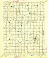
 1892 Kingman1892 Print · USGSKingman and the surrounding prairie were rapidly evolving in the late nineteenth century as multiple rail lines competed for the region's grain. Genealogists and historians can trace the early development of towns like Lerado, Arlington, and Penalosa alongside the South Fork Ninnescah River.
 - 1894 Map of Kingman
 1894 Kingman1894 Print · USGSKingman County and southern Reno County are captured during the peak of late-Victorian prairie expansion, when railroads first defined the local economy. Genealogists can trace family homesteads near vanished stops and early rail hubs like Lerado, Cunningham, and Oklahoma.4 unique versions available
 - 1955 Map of Pratt, 1968 Print
 1955 Pratt1968 Print · USGSSouth-central Kansas during the mid-fifties presents a landscape of sprawling oil fields and critical rail junctions. Researchers can trace the paths of the Atchison Topeka and Santa Fe railroad or locate local landmarks like the Blue Ridge Community House and Camp Carlisle.3 unique versions available
 - 1959 Map of Pratt
 1959 Pratt1959 Print · USGSSouth-central Kansas thrived as a rail and agricultural hub in the late fifties, where the Arkansas River meets a vast grid of section roads. Researchers can trace the path of the Missouri Pacific railroad through settlements like Turon and Stafford, or locate family landmarks like the Prairie Oak School.2 unique versions available
 - 1967 Map of Kingman NW, 1968 Print
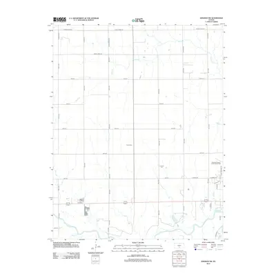
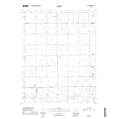
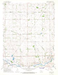 1967 Kingman NW1968 Print · USGSKingman and the surrounding Kansas prairie are captured in the late sixties as the region's rail and river systems shaped its growth. Genealogists and local historians can locate the Hoosier Cem, trace the Missouri Pacific line through Browns Spur, and identify early aviation and utility sites.
 - 1967 Map of Alameda, 1968 Print
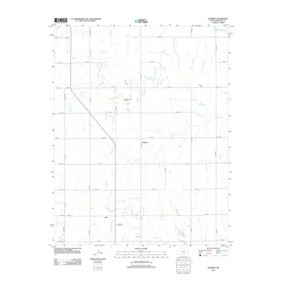
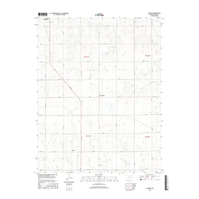
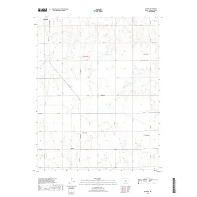
 1967 Alameda1968 Print · USGSKingman County's prairie landscape was shaped by a combination of rail transport and energy extraction in the late 1960s. Researchers can trace the Atchison Topeka and Santa Fe Pacific railroad past Alameda and find local landmarks like Bethany Cem and the Basil Oil and Gas Field.
 - 1967 Map of Kingman, 1968 Print
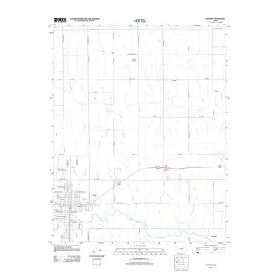
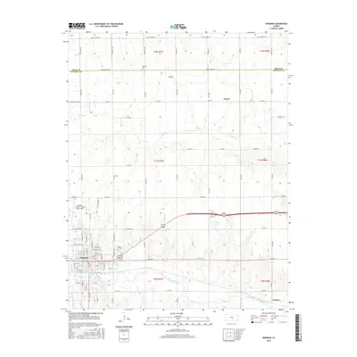
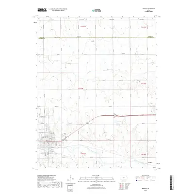
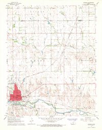 1967 Kingman1968 Print · USGSKingman and the surrounding Kansas prairie are documented here in the late sixties as the region balanced its rail heritage with modern aviation. Genealogists and local historians can locate Schooley Cemetery, trace the Atchison Topeka and Santa Fe line, or find the old Drive-in Theater.2 unique versions available
 - 1985 Map of Pratt
 1985 Pratt1985 Print · USGSMid-1980s South Central Kansas is captured here as a landscape of rail-connected farming towns and energy fields. Researchers can trace the Old Indian Treaty Boundary or locate local landmarks like Walnut Hill Cemetery and the State Fish Hatchery.2 unique versions available
 - 2009 Map of Alameda, 2009 Print
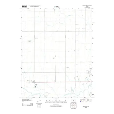
 2009 Alameda2009 Print · USGSCovers Kingman, including Alameda, Basil, and other nearby areas
 - 2009 Map of Kingman NW, 2009 Print
 2009 Kingman NW2009 Print · USGSCovers Kingman, including Reno County, Kingman County, and other nearby areas
 - 2009 Map of Kingman, 2009 Print
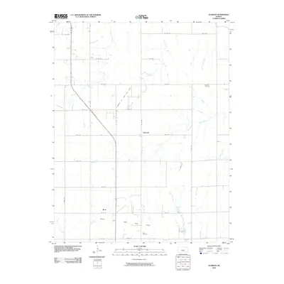
 2009 Kingman2009 Print · USGSCovers Kingman, including Georgia, Varner, and other nearby areas
 - 2012 Map of Alameda, 2012 Print
 2012 Alameda2012 Print · USGSCovers Kingman, including Alameda, Basil, and other nearby areas
 - 2012 Map of Kingman NW, 2012 Print
 2012 Kingman NW2012 Print · USGSCovers Kingman, including Reno County, Kingman County, and other nearby areas
 - 2012 Map of Kingman, 2012 Print
 2012 Kingman2012 Print · USGSCovers Kingman, including Georgia, Varner, and other nearby areas
 - 2015 Map of Kingman NW, 2015 Print
 2015 Kingman NW2015 Print · USGSCovers Kingman, including Reno County, Kingman County, and other nearby areas
 - 2016 Map of Alameda, 2016 Print
 2016 Alameda2016 Print · USGSCovers Kingman, including Alameda, Basil, and other nearby areas
 - 2016 Map of Kingman, 2016 Print
 2016 Kingman2016 Print · USGSCovers Kingman, including Georgia, Varner, and other nearby areas
 - 2018 Map of Kingman NW, 2018 Print
 2018 Kingman NW2018 Print · USGSCovers Kingman, including Reno County, Kingman County, and other nearby areas
 - 2018 Map of Alameda, 2018 Print
 2018 Alameda2018 Print · USGSCovers Kingman, including Alameda, Basil, and other nearby areas
 - 2018 Map of Kingman, 2018 Print
 2018 Kingman2018 Print · USGSCovers Kingman, including Georgia, Varner, and other nearby areas
 - 2022 Map of Kingman NW, 2022 Print
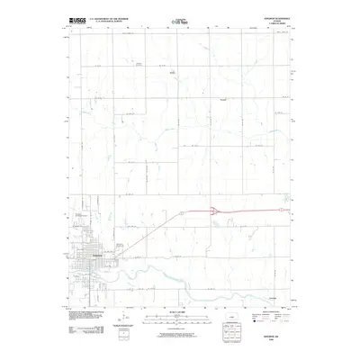
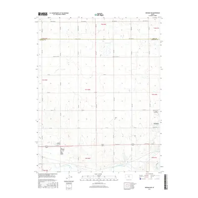
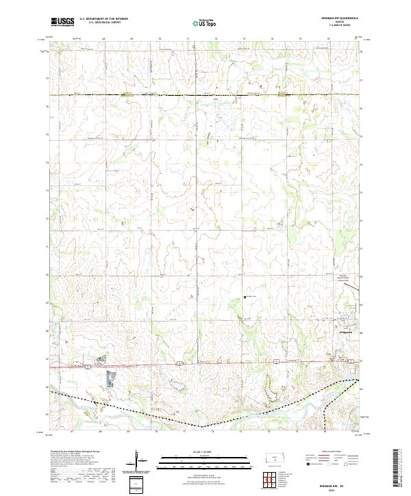 2022 Kingman NW2022 Print · USGSKingman and the Ninnescah River valley are shown here in the early twenty-first century, capturing the intersection of town life and aviation history. Researchers can locate Hoosier Cem or trace the grounds of Kingman Airport/Clyde Cessna Field.
 - 2022 Map of Alameda, 2022 Print
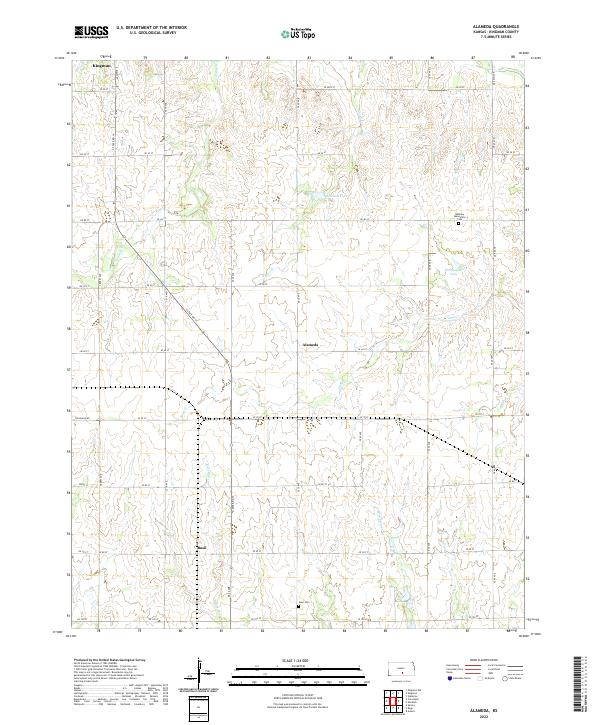 2022 Alameda2022 Print · USGSKingman County's agricultural heartland is documented here in the early twenty-first century, showing the enduring grid of section roads and small rural centers. Researchers can locate family landmarks like Bethany Mennonite Cem, Hunt Cem, and the small settlement of Basil.
 - 2022 Map of Kingman, 2022 Print
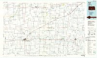
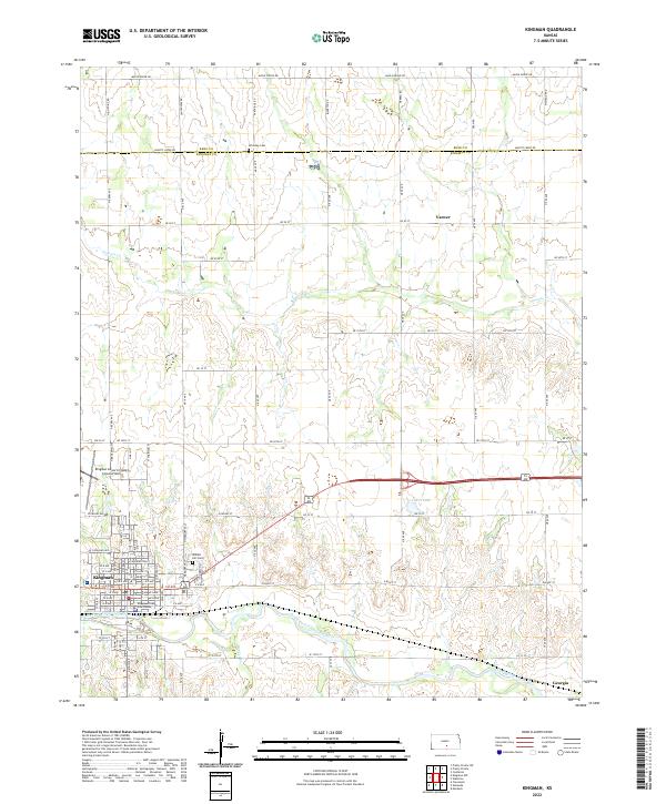 2022 Kingman2022 Print · USGSThe Ninnescah River valley comes into focus during this contemporary period, centering on the growth of Kingman. Researchers can trace local heritage through the Kingman County Courthouse, the Walnut Hill Cem, and the rural community at Varner.
End of results
Showing maps 1-23 of 23
Top cities near Kingman
- Pretty Prairie historical maps
- Castleton historical maps
- Zenda historical maps
- Belmont historical maps
- Spivey historical maps
- Langdon historical maps
See more
Frequently asked questions
- What are the different types of historical maps available for Kingman?
- What is the oldest map of Kingman?
- Where can I purchase historical maps of Kingman for my home or office?
- Where can I download high-res historical maps of Kingman?
- Are there historical topographic maps available for Kingman?
- Is there historical aerial imagery available for Kingman?
- Where are historical maps of Kingman sourced from?