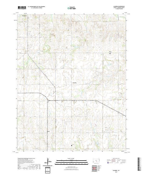
2022 Map of Alameda
USGS Topo · Published 2022About this map
Alameda and Basil anchor this rural Kingman County landscape, which is defined by a rhythmic network of section-line roads such as S State Rd 14 and Cleveland Rd. The terrain is drained by several named waterways, including the winding paths of Sand Cr and Hunter Cr. These creeks, alongside small impoundments like Christopher Lake and Johnson Lake, suggest a land oriented toward agriculture and watershed management.
Find a feature on this map
45 named features on this map. Tap any name to fly to it.
Don’t see what you’re looking for? This feature index may not catch every label — zoom into the map to look around manually.
Map Details
Editions of this 2022 Alameda Map
This is the sole edition of this map. No revisions or reprints were ever made.
Other maps of this area

1889 · Anthony
USGS Topo · 1:125,000

1889 · Cheney
USGS Topo · 1:125,000

1889 · Caldwell
USGS Topo · 1:125,000

1891 · Cheney
USGS Topo · 1:125,000

1891 · Anthony
USGS Topo · 1:125,000

1892 · Kingman
USGS Topo · 1:125,000

1893 · Caldwell
USGS Topo · 1:125,000

1894 · Kingman
USGS Topo · 1:125,000

1897 · Caldwell
USGS Topo · 1:125,000

1901 · Cheney
USGS Topo · 1:125,000