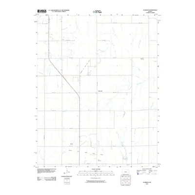
2009 Map of Alameda
USGS Topo · Published 2009About this map
Alameda sits at the center of this rural Kansas landscape, where the local economy is defined by the underlying Alameda Oil and Gas Field. Further south, the settlement of Basil marks the intersection of State Hwy 14 and SE 90 St, serving as another hub for the extensive Basil Oil and Gas Field. The terrain is etched by a series of north-south waterways, including Sand Creek, Blue Stem Creek, and Duck Creek, which dictated the early placement of family and community landmarks. Genealogists will find the Bethany Cemetery in the northeast and Hunt Cemetery near the southern fields, providing specific locations for local family research. The grid of section roads, such as S Berry Ave and SE 100 St, illustrates the persistent agricultural and industrial structure of Kingman County during this era.
Find a feature on this map
28 named features on this map. Tap any name to fly to it.
Don’t see what you’re looking for? This feature index may not catch every label — zoom into the map to look around manually.
Map Details
Editions of this 2009 Alameda Map
This is the sole edition of this map. No revisions or reprints were ever made.
Other maps of this area

1889 · Anthony
USGS Topo · 1:125,000

1889 · Cheney
USGS Topo · 1:125,000

1889 · Caldwell
USGS Topo · 1:125,000

1891 · Cheney
USGS Topo · 1:125,000

1891 · Anthony
USGS Topo · 1:125,000

1892 · Kingman
USGS Topo · 1:125,000

1893 · Caldwell
USGS Topo · 1:125,000

1894 · Kingman
USGS Topo · 1:125,000

1897 · Caldwell
USGS Topo · 1:125,000

1901 · Cheney
USGS Topo · 1:125,000