
1967 Map of Kingman NW
USGS Topo · Published 1968About this map
The South Fork Ninnescah River meanders across the southern landscape of this mid-century survey, anchoring a region defined by agricultural townships and strategic rail corridors. The city of Kingman sits at the intersection of critical transit lines, including the Atchison Topeka and Santa Fe and the Missouri Pacific railroads. These lines were vital to the local economy, connecting grain elevators and small outposts like Browns Spur to larger markets.
Find a feature on this map
23 named features on this map. Tap any name to fly to it.
Don’t see what you’re looking for? This feature index may not catch every label — zoom into the map to look around manually.
Map Details
Editions of this 1967 Kingman NW Map
This is the sole edition of this map. No revisions or reprints were ever made.
Other maps of this area

1892 · Kingman
USGS Topo · 1:125,000

1894 · Kingman
USGS Topo · 1:125,000

1955 · Pratt
USGS Topo · 1:250,000

1959 · Pratt
USGS Topo · 1:250,000
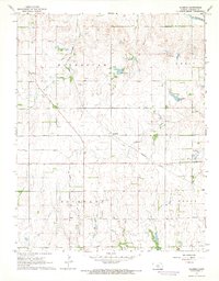
1967 · Alameda
USGS Topo · 1:24,000

1967 · Cleveland
USGS Topo · 1:24,000
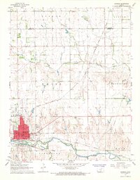
1967 · Kingman
USGS Topo · 1:24,000
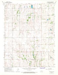
1967 · Willowdale
USGS Topo · 1:24,000

1967 · Penalosa
USGS Topo · 1:24,000
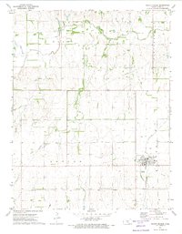
1971 · Pretty Prairie
USGS Topo · 1:24,000