1900s (20th Century) Maps of Lincoln County, Kansas
Explore 36 historic maps of Lincoln County from the 1900s (20th Century). These maps offer a rare glimpse into what life looked like during the 1900s — showing old roads, neighborhoods, homes, and landmarks that have changed or disappeared over time.
Whether you're researching your family's past, planning a metal detecting trip, or studying how Lincoln County's landscape evolved across the 1900s, these high-resolution maps are a powerful tool for exploring the history of this region.
- Focus on a specific era: All maps on this page are from the 1900s, giving you a focused view of this time period.
- See what’s changed: Compare century-old streets, trails, and buildings to today's modern landscape using overlays and satellite layers.
- Research with precision: Use these maps for genealogy, historical research, land use analysis, or educational projects.
- View, download, or print: Maps are fully viewable online in high resolution, and can be downloaded or printed for your own records.
Start exploring Lincoln County's history through authentic maps from the 1900s. This is your window into the past.
Lincoln County, KS maps
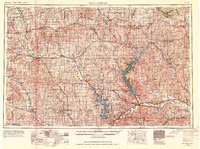
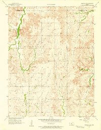
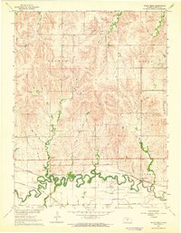
(36)- 1942 Map of Salina
 1942 Salina1942 Print · USGSCovers Lincoln County, including Salina, Lindsborg, and other nearby areas
 - 1955 Map of Manhattan, 1964 Print
 1955 Manhattan1964 Print · USGSCovers Lincoln County, including Manhattan, Junction City, and other nearby areas6 unique versions available
 - 1955 Map of Great Bend, 1966 Print
 1955 Great Bend1966 Print · USGSCovers Lincoln County, including Hays, Great Bend, and other nearby areas4 unique versions available
 - 1955 Map of Hutchinson, 1967 Print
 1955 Hutchinson1967 Print · USGSCovers Lincoln County, including Salina, Hutchinson, and other nearby areas3 unique versions available
 - 1955 Map of Beloit, 1971 Print
 1955 Beloit1971 Print · USGSCovers Lincoln County, including Beloit, Norton, and other nearby areas3 unique versions available
 - 1956 Map of Manhattan
 1956 Manhattan1956 Print · USGSCovers Lincoln County, including Manhattan, Junction City, and other nearby areas
 - 1956 Map of Wilson, 1958 Print
 1956 Wilson1958 Print · USGSCovers Lincoln County, including Wilson, Ellsworth County, and other nearby areas2 unique versions available
 - 1957 Map of Manhattan
 1957 Manhattan1957 Print · USGSCovers Lincoln County, including Manhattan, Junction City, and other nearby areas
 - 1957 Map of Great Bend
 1957 Great Bend1957 Print · USGSCovers Lincoln County, including Hays, Great Bend, and other nearby areas
 - 1957 Map of Westfall SW, 1958 Print
 1957 Westfall SW1958 Print · USGSCovers Lincoln County, including Ellsworth, Ellsworth County, and other nearby areas2 unique versions available
 - 1957 Map of Brookville SW, 1958 Print
 1957 Brookville SW1958 Print · USGSCovers Lincoln County, including Arcola, Saline County, and other nearby areas3 unique versions available
 - 1957 Map of Westfall SE, 1958 Print
 1957 Westfall SE1958 Print · USGSCovers Lincoln County, including Ellsworth County, United States, and other nearby areas3 unique versions available
 - 1957 Map of Black Wolf, 1958 Print
 1957 Black Wolf1958 Print · USGSCovers Lincoln County, including Black Wolf, Ellsworth County, and other nearby areas2 unique versions available
 - 1958 Map of Great Bend
 1958 Great Bend1958 Print · USGSCovers Lincoln County, including Hays, Great Bend, and other nearby areas2 unique versions available
 - 1959 Map of Beloit
 1959 Beloit1959 Print · USGSCovers Lincoln County, including Beloit, Norton, and other nearby areas3 unique versions available
 - 1959 Map of Hutchinson
 1959 Hutchinson1959 Print · USGSCovers Lincoln County, including Salina, Hutchinson, and other nearby areas2 unique versions available
 - 1962 Map of Vesper, 1964 Print
 1962 Vesper1964 Print · USGSCovers Lincoln County, including Vesper, Grant, and other nearby areas
 - 1962 Map of Lincoln, 1964 Print
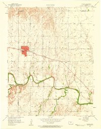
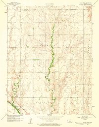
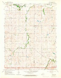
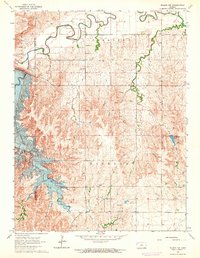
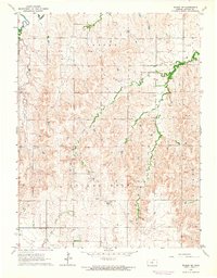
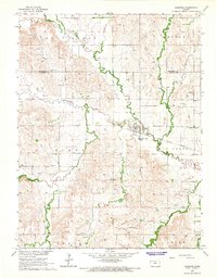
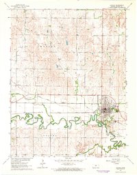 1962 Lincoln1964 Print · USGSCovers Lincoln County, including Lincoln, Goldenrod, and other nearby areas
 - 1963 Map of Shady Bend, 1964 Print
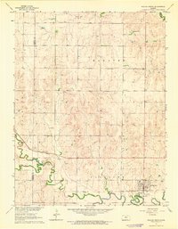
 1963 Shady Bend1964 Print · USGSCovers Lincoln County, including Shady Bend, Quartzite, and other nearby areas
 - 1963 Map of Juniata, 1964 Print
 1963 Juniata1964 Print · USGSCovers Lincoln County, including Glendale, Juniata, and other nearby areas2 unique versions available
 - 1963 Map of Sylvan Grove, 1964 Print
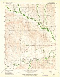
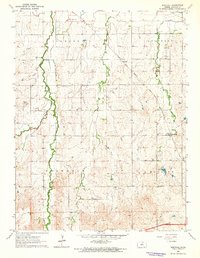
 1963 Sylvan Grove1964 Print · USGSCovers Lincoln County, including Sylvan Grove, Wolf Creek, and other nearby areas
 - 1963 Map of Westfall, 1964 Print
 1963 Westfall1964 Print · USGSCovers Lincoln County, including Barton, Edalgo, and other nearby areas
 - 1964 Map of Wilson NW
 1964 Wilson NW1964 Print · USGSCovers Lincoln County, including Russell County, United States, and other nearby areas2 unique versions available
 - 1964 Map of Wilson NE
 1964 Wilson NE1964 Print · USGSCovers Lincoln County, including United States, Kansas, and other nearby areas
 - 1964 Map of Barnard, 1965 Print
 1964 Barnard1965 Print · USGSCovers Lincoln County, including Barnard, Mitchell County, and other nearby areas2 unique versions available
Showing maps 1-25 of 36
Top cities of Lincoln County
- Sylvan Grove historical maps
- Beverly historical maps
- Barnard historical maps
- Vesper historical maps
- Grant historical maps
Frequently asked questions
- What are the different types of historical maps available for Lincoln County?
- What is the oldest map of Lincoln County?
- Where can I purchase historical maps of Lincoln County for my home or office?
- Where can I download high-res historical maps of Lincoln County?
- Are there historical topographic maps available for Lincoln County?
- Is there historical aerial imagery available for Lincoln County?
- Where are historical maps of Lincoln County sourced from?