
1957 Map of Brookville SW
USGS Topo · Published 1958About this map
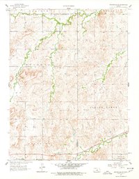
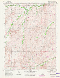
Mulberry Creek and its many tributaries, including Table Rock Creek and Elm Creek, define the drainage patterns across this central Kansas landscape in the late 1950s. The northern reaches of the quadrangle are anchored by the small community infrastructure of Mulberry Sch and Mulberry Cem, which served the rural population before the mid-century shift toward larger town centers. The southern portion of the map is dominated by the Smoky Hill Air Force Range, indicating the significant military presence in the region during the Cold War era. Transportation and logistics are highlighted by the Union Pacific rail line running through the southeast corner near the settlement of Arcola, while the distinctive landmark of Buzzard Roost stands out along the southern boundary. The survey also captures the intersections of several townships, including Madison, Mulberry, and Spring Creek.
Find a feature on this map
18 named features on this map. Tap any name to fly to it.
Don’t see what you’re looking for? This feature index may not catch every label — zoom into the map to look around manually.
Map Details
Editions of this 1957 Brookville SW Map
3 editions found
Other maps of this area

1892 · Salina
USGS Topo · 1:125,000

1894 · Ellsworth
USGS Topo · 1:125,000

1942 · Salina
USGS Topo · 1:125,000

1955 · Brookville
USGS Topo · 1:24,000

1955 · Culver
USGS Topo · 1:24,000

1955 · Falun
USGS Topo · 1:24,000

1955 · Great Bend
USGS Topo · 1:250,000

1955 · Hutchinson
USGS Topo · 1:250,000

1957 · Great Bend
USGS Topo · 1:250,000

1957 · Westfall SE
USGS Topo · 1:24,000