2020s Maps of Mound City, Kansas
Explore 3 historic maps of Mound City from the 2020s. These maps offer a rare glimpse into what life looked like during the 2020s — showing old roads, neighborhoods, homes, and landmarks that have changed or disappeared over time.
Whether you're researching your family's past, planning a metal detecting trip, or studying how Mound City's landscape evolved across the 2020s, these high-resolution maps are a powerful tool for exploring the history of this region.
- Focus on a specific era: All maps on this page are from the 2020s, giving you a focused view of this time period.
- See what’s changed: Compare century-old streets, trails, and buildings to today's modern landscape using overlays and satellite layers.
- Research with precision: Use these maps for genealogy, historical research, land use analysis, or educational projects.
- View, download, or print: Maps are fully viewable online in high resolution, and can be downloaded or printed for your own records.
Start exploring Mound City's history through authentic maps from the 2020s. This is your window into the past.
Mound City, KS maps
(3)- 2022 Map of Mound City, 2022 Print
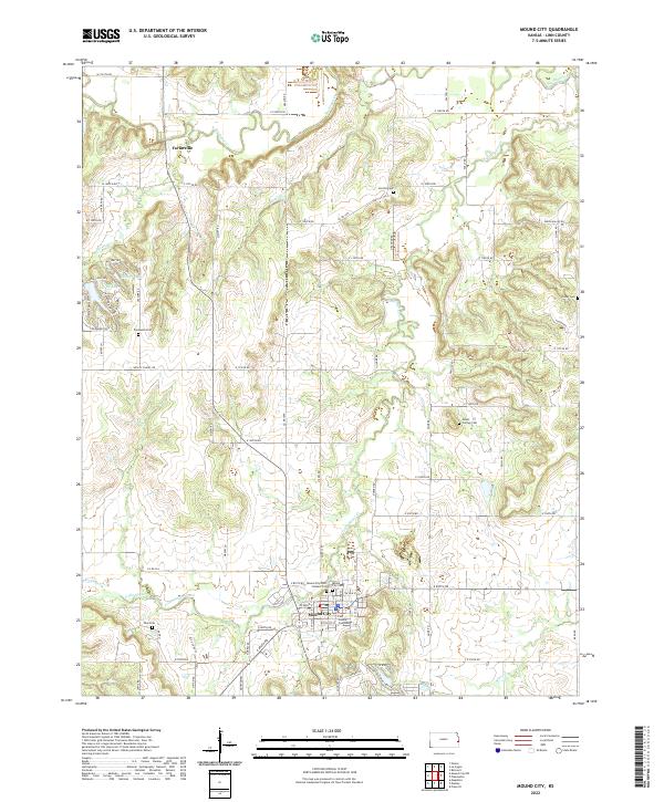 2022 Mound City2022 Print · USGSMound City and the surrounding Linn County countryside are detailed in this 2022 survey, showing a landscape shaped by the Little Sugar Creek and its tributaries. Local historians can trace family ties at Mound City Cem, Fairbanks Cem, and the Linn County Courthouse.
 - 2022 Map of Mapleton, 2022 Print
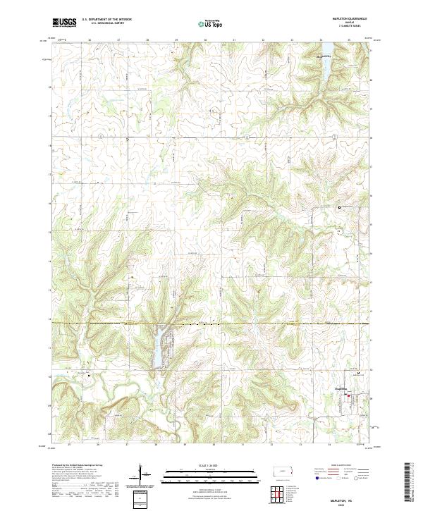 2022 Mapleton2022 Print · USGSSoutheast Kansas at the turn of the decade shows a landscape defined by the winding Little Osage River and established rural townships. Genealogists can locate family landmarks like Mapleton Cem, Stevenson Cem, and the quiet waters of Johnson Lake.
 - 2022 Map of Mound City NW, 2022 Print
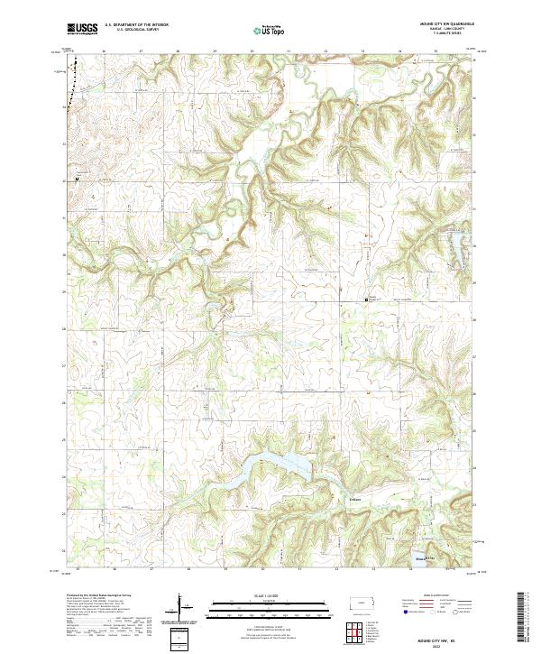 2022 Mound City NW2022 Print · USGSLinn County is captured in this modern survey of the prairie and creek drainages north of the county seat. Researchers can trace the rural landscape near Critzer and locate local landmarks such as Wesley Chapel Cem and Lake De Lag.
End of results
Showing maps 1-3 of 3
Top cities near Mound City
- Pleasanton historical maps
- La Cygne historical maps
- Centerville historical maps
- Parker historical maps
- Blue Mound historical maps
- Prescott historical maps
See more
Frequently asked questions
- What are the different types of historical maps available for Mound City?
- What is the oldest map of Mound City?
- Where can I purchase historical maps of Mound City for my home or office?
- Where can I download high-res historical maps of Mound City?
- Are there historical topographic maps available for Mound City?
- Is there historical aerial imagery available for Mound City?
- Where are historical maps of Mound City sourced from?