Old Maps of Mound City, Kansas for Academic Research
Study the evolution of Mound City with 25 high-resolution historic maps. Whether you're teaching, researching, or modeling changes in land use, these maps provide essential visual documentation of urban, environmental, and geographic change.
- Analyze long-term change: Track patterns in development, transportation, and natural features.
- Ideal for environmental or urban studies: Support academic projects with primary historical map data.
- Use in the classroom or lab: Educators and researchers rely on these maps to bring historical context to life.
These maps are a powerful tool for teaching, research, and visualizing how Mound City has changed over the decades.
Mound City, KS maps
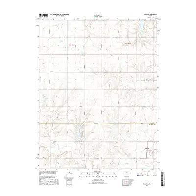
(25)- 1887 Map of Mound City
 1887 Mound City1887 Print · USGSLinn and Miami counties are captured here in the 1880s, showcasing a landscape of river-valley agriculture and rapid railroad growth. Researchers can trace the path of the Kansas City Fort Scott and Gulf Railroad through Pleasanton or locate early settlements like Trading Post and Wall Street.
 - 1893 Map of Mound City
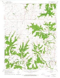
 1893 Mound City1893 Print · USGSEastern Kansas at the close of the nineteenth century is defined here by its rail-and-river network and early township boundaries. Genealogists and historians can trace the early growth of Mound City, Pleasanton, and La Cygne along the Kansas City Osage and Gulf Railroad.4 unique versions available
 - 1947 Map of Lawrence, 1954 Print
 1947 Lawrence1954 Print · USGSEastern Kansas and western Missouri thrive in the late 1940s, showing a landscape defined by major river valleys and a dense railway network. Genealogists can trace family settlements from Lawrence to Greenwood and locate landmarks like Olathe Navy and Lake Lotawana.
 - 1950 Map of Lawrence
 1950 Lawrence1950 Print · USGSMid-century Kansas and Missouri come alive in this map of the river-valley corridors just as the interstate era was beginning. Researchers can trace the legacy of major rail lines like the Union Pacific RR and locate ancestral roots in towns from Lawrence to Harrisonville.
 - 1956 Map of Lawrence, 1967 Print
 1956 Lawrence1967 Print · USGSEastern Kansas and the Missouri border country are captured here during the mid-century transition to the interstate era. Genealogists and local historians can trace family-named terrain like Summers Mound and the footprint of Sunflower Ordnance Works near Baldwin City.4 unique versions available
 - 1958 Map of Mound City, 1959 Print
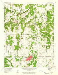 1958 Mound City1959 Print · USGSMound City and the surrounding Linn County prairie are captured here in the late fifties, showing a landscape of agriculture and emerging oil production. Researchers can locate family burial sites at Fisher Cem or Mt Carmel Cem and trace the winding course of Big Sugar Creek.2 unique versions available
 - 1961 Map of Lawrence
 1961 Lawrence1961 Print · USGSThe Kansas-Missouri borderland shows its mid-century transition from a rail-dependent agricultural region to a suburbanizing landscape. Genealogists can trace family footprints through numerous Cem sites and distinctive terrain landmarks like Graves Mound and Summers Mound.
 - 1966 Map of Mound City NW, 1967 Print
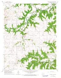 1966 Mound City NW1967 Print · USGSLinn County’s rural townships are documented here during the mid-1960s, showing a landscape shaped by creek systems and early industry. Researchers can trace the Missouri - Kansas - Texas rail line and locate landmarks like Wesley Chapel, Critzer, and the Centerville Cem.
 - 1966 Map of Mapleton, 1967 Print
 1966 Mapleton1967 Print · USGSThe rural borderlands of Linn and Bourbon counties are captured here in the mid-1960s, centered on the settlement of Mapleton. Researchers can trace the path of an Old Railroad Grade or locate family history at Stevenson Cem and Campbell Cem.
 - 1981 Map of Butler
 1981 Butler1981 Print · USGSWestern Missouri and eastern Kansas settlements are documented here in the early eighties, as the river valleys were transitioning into major wildlife management areas. Genealogists can locate family names near Greenlawn Cem or trace the development of towns like Butler, Osawatomie, and Appleton City.
 - 2009 Map of Mound City NW, 2009 Print
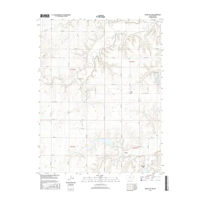
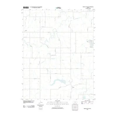 2009 Mound City NW2009 Print · USGSCovers Mound City, including Critzer, Linn County, and other nearby areas
 - 2009 Map of Mapleton, 2009 Print
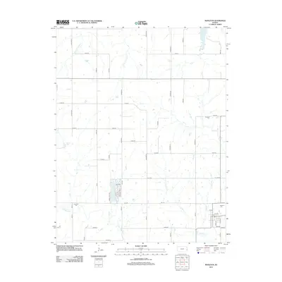
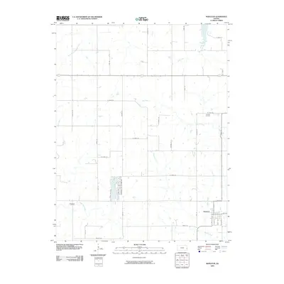 2009 Mapleton2009 Print · USGSCovers Mound City, including Mapleton, Bourbon County, and other nearby areas
 - 2009 Map of Mound City, 2009 Print
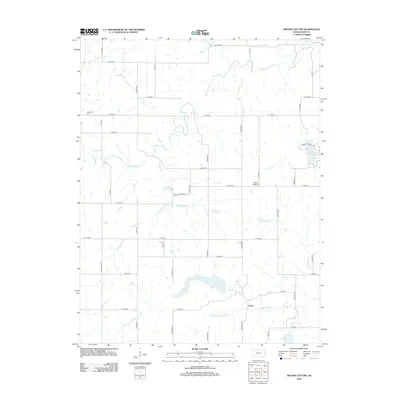
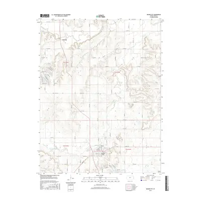
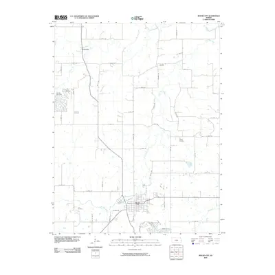 2009 Mound City2009 Print · USGSCovers Mound City, including Farlinville, Linn County, and other nearby areas
 - 2012 Map of Mound City, 2012 Print
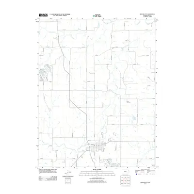 2012 Mound City2012 Print · USGSCovers Mound City, including Farlinville, Linn County, and other nearby areas
 - 2012 Map of Mound City NW, 2012 Print
 2012 Mound City NW2012 Print · USGSCovers Mound City, including Critzer, Linn County, and other nearby areas
 - 2012 Map of Mapleton, 2012 Print
 2012 Mapleton2012 Print · USGSCovers Mound City, including Mapleton, Bourbon County, and other nearby areas
 - 2015 Map of Mound City NW, 2015 Print
 2015 Mound City NW2015 Print · USGSCovers Mound City, including Critzer, Linn County, and other nearby areas
 - 2015 Map of Mound City, 2015 Print
 2015 Mound City2015 Print · USGSCovers Mound City, including Farlinville, Linn County, and other nearby areas
 - 2015 Map of Mapleton, 2015 Print
 2015 Mapleton2015 Print · USGSCovers Mound City, including Mapleton, Bourbon County, and other nearby areas
 - 2018 Map of Mapleton, 2018 Print
 2018 Mapleton2018 Print · USGSCovers Mound City, including Mapleton, Bourbon County, and other nearby areas
 - 2018 Map of Mound City, 2018 Print
 2018 Mound City2018 Print · USGSCovers Mound City, including Farlinville, Linn County, and other nearby areas
 - 2018 Map of Mound City NW, 2018 Print
 2018 Mound City NW2018 Print · USGSCovers Mound City, including Critzer, Linn County, and other nearby areas
 - 2022 Map of Mound City, 2022 Print
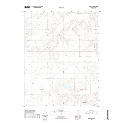
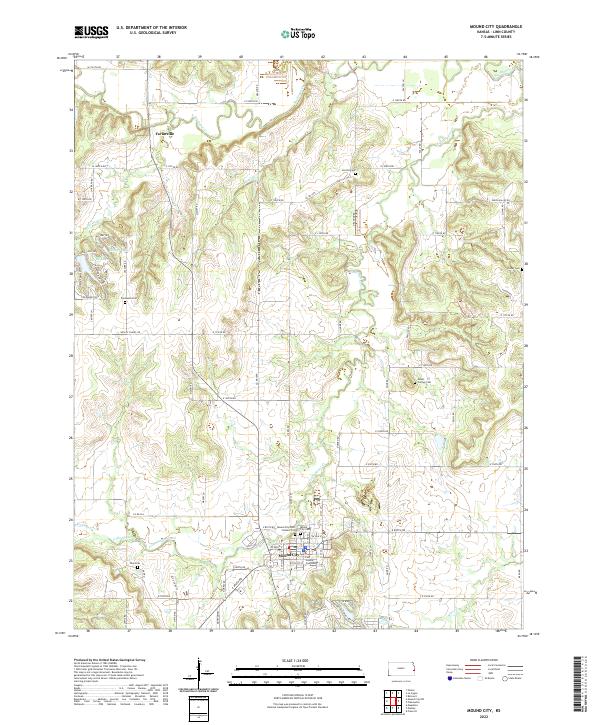 2022 Mound City2022 Print · USGSMound City and the surrounding Linn County countryside are detailed in this 2022 survey, showing a landscape shaped by the Little Sugar Creek and its tributaries. Local historians can trace family ties at Mound City Cem, Fairbanks Cem, and the Linn County Courthouse.
 - 2022 Map of Mapleton, 2022 Print
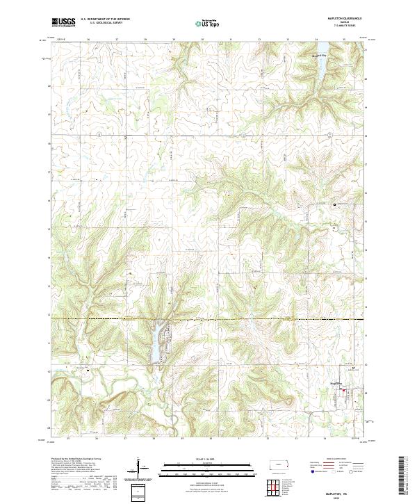 2022 Mapleton2022 Print · USGSSoutheast Kansas at the turn of the decade shows a landscape defined by the winding Little Osage River and established rural townships. Genealogists can locate family landmarks like Mapleton Cem, Stevenson Cem, and the quiet waters of Johnson Lake.
 - 2022 Map of Mound City NW, 2022 Print
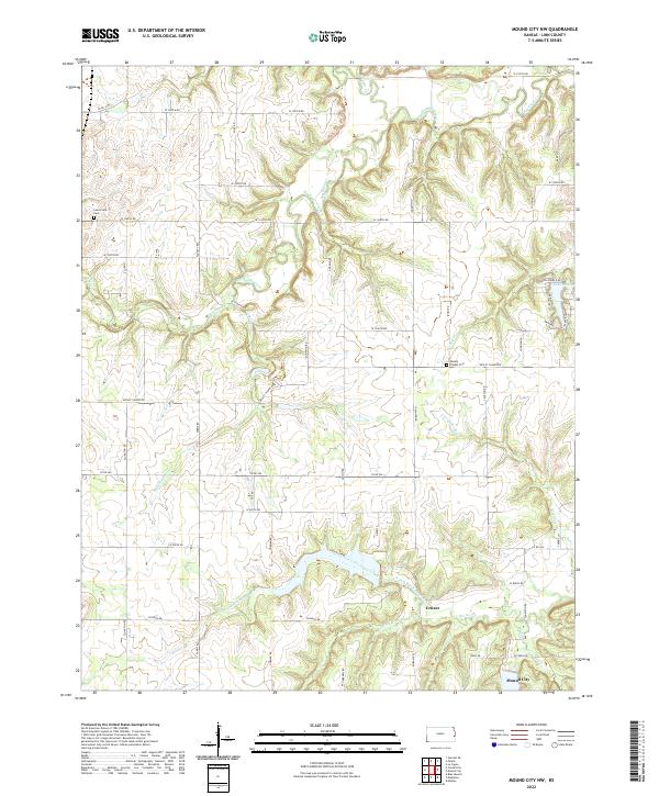 2022 Mound City NW2022 Print · USGSLinn County is captured in this modern survey of the prairie and creek drainages north of the county seat. Researchers can trace the rural landscape near Critzer and locate local landmarks such as Wesley Chapel Cem and Lake De Lag.
End of results
Showing maps 1-25 of 25
Top cities near Mound City
- Pleasanton historical maps
- La Cygne historical maps
- Centerville historical maps
- Parker historical maps
- Blue Mound historical maps
- Prescott historical maps
See more
Frequently asked questions
- What are the different types of historical maps available for Mound City?
- What is the oldest map of Mound City?
- Where can I purchase historical maps of Mound City for my home or office?
- Where can I download high-res historical maps of Mound City?
- Are there historical topographic maps available for Mound City?
- Is there historical aerial imagery available for Mound City?
- Where are historical maps of Mound City sourced from?